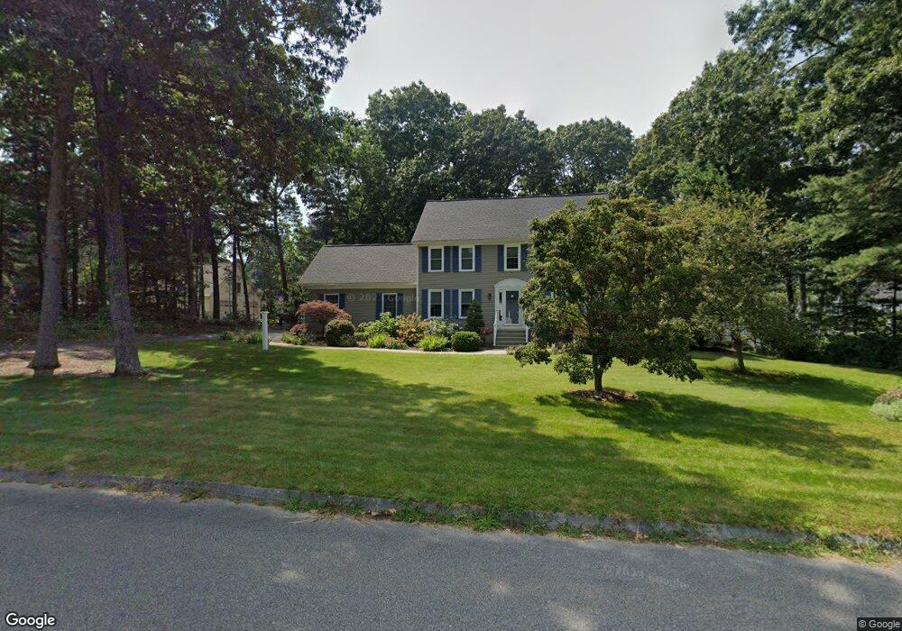
18 Blue Jay St Franklin, MA 02038
Estimated Value: $851,127 - $1,005,000
4
Beds
3
Baths
2,289
Sq Ft
$413/Sq Ft
Est. Value
About This Home
This home is located at 18 Blue Jay St, Franklin, MA 02038 and is currently estimated at $944,532, approximately $412 per square foot. 18 Blue Jay St is a home located in Norfolk County with nearby schools including John F. Kennedy Memorial School, Horace Mann Middle School, and Franklin High School.
Ownership History
Date
Name
Owned For
Owner Type
Purchase Details
Closed on
Mar 14, 2025
Sold by
Patten Robert W and Patten Ivy S
Bought by
2025 Patten Ft and Patten
Current Estimated Value
Purchase Details
Closed on
Jul 10, 1996
Sold by
Marinella Constr Inc
Bought by
Patten Robert W and Patten Ivy S
Home Financials for this Owner
Home Financials are based on the most recent Mortgage that was taken out on this home.
Original Mortgage
$155,000
Interest Rate
7.98%
Mortgage Type
Purchase Money Mortgage
Create a Home Valuation Report for This Property
The Home Valuation Report is an in-depth analysis detailing your home's value as well as a comparison with similar homes in the area
Purchase History
| Date | Buyer | Sale Price | Title Company |
|---|---|---|---|
| 2025 Patten Ft | -- | None Available | |
| 2025 Patten Ft | -- | None Available | |
| Patten Robert W | $245,443 | -- |
Source: Public Records
Mortgage History
| Date | Status | Borrower | Loan Amount |
|---|---|---|---|
| Previous Owner | Patten Robert W | $155,000 |
Source: Public Records
Tax History
| Year | Tax Paid | Tax Assessment Tax Assessment Total Assessment is a certain percentage of the fair market value that is determined by local assessors to be the total taxable value of land and additions on the property. | Land | Improvement |
|---|---|---|---|---|
| 2025 | $8,873 | $763,600 | $362,200 | $401,400 |
| 2024 | $9,082 | $770,300 | $362,200 | $408,100 |
| 2023 | $8,466 | $673,000 | $346,100 | $326,900 |
| 2022 | $7,827 | $557,100 | $268,300 | $288,800 |
| 2021 | $7,655 | $522,500 | $258,900 | $263,600 |
| 2020 | $7,435 | $512,400 | $261,500 | $250,900 |
| 2019 | $7,204 | $491,400 | $240,600 | $250,800 |
| 2018 | $7,019 | $479,100 | $253,700 | $225,400 |
| 2017 | $7,099 | $486,900 | $261,500 | $225,400 |
| 2016 | $6,728 | $464,000 | $240,900 | $223,100 |
| 2015 | $6,543 | $440,900 | $217,800 | $223,100 |
| 2014 | $6,251 | $432,600 | $209,500 | $223,100 |
Source: Public Records
Map
Nearby Homes
- 8 Woodhaven Dr
- 4 Shaw St
- 2 Skyline Dr
- 10 Franklin St
- 254 Daniels St
- 5 Richardson St
- 41 Kimberlee Ave
- 91 Oliver Pond Cir Unit 3
- 83 Oliver Pond Cir Unit 7
- 10 Prospect St
- 204 Village St
- 44 Arapahoe Rd
- 14 Sanford St Unit 15
- 462 Hartford Ave
- 17 Pine St
- 176 Main St Unit 3
- 2 Mechanic St Unit 1
- 276 Pond St
- 20 Broad St Unit 1
- 20 Broad St Unit 6
- 11 Mockingbird Ln
- 7 White Dove Rd
- 12 Lot-Bluejay St
- 17 Blue Jay St
- 13 Lot-Bluejay St
- 22 Blue Jay St
- 10 Blue Jay St
- 13 Blue Jay St
- 12 Mockingbird Ln
- 10 Lot-Bluejay St
- 21 Blue Jay St
- 11 Lot-Bluejay St
- 11 White Dove Rd
- 8 Mockingbird Ln
- 5 Mockingbird Ln
- 9 Blue Jay St
- 25 Blue Jay St
- 94 Mastro Dr
- 4 Mockingbird Ln
- 6 Blue Jay St