18 Brookhurst Ln E Meredith, NH 03253
Estimated Value: $750,000 - $888,000
3
Beds
2
Baths
1,125
Sq Ft
$739/Sq Ft
Est. Value
About This Home
This home is located at 18 Brookhurst Ln E, Meredith, NH 03253 and is currently estimated at $831,718, approximately $739 per square foot. 18 Brookhurst Ln E is a home located in Belknap County with nearby schools including Inter-Lakes Elementary School, Sandwich Central School, and Inter-Lakes Middle High School.
Ownership History
Date
Name
Owned For
Owner Type
Purchase Details
Closed on
Jan 11, 2019
Sold by
Helin Francis J
Bought by
Vercellin Paul E and Vercellin Michele L
Current Estimated Value
Purchase Details
Closed on
Feb 19, 2003
Sold by
Beach Marjorie L Est
Bought by
Helin Francis J and Helin Debra B
Home Financials for this Owner
Home Financials are based on the most recent Mortgage that was taken out on this home.
Original Mortgage
$85,000
Interest Rate
5.98%
Mortgage Type
Purchase Money Mortgage
Create a Home Valuation Report for This Property
The Home Valuation Report is an in-depth analysis detailing your home's value as well as a comparison with similar homes in the area
Home Values in the Area
Average Home Value in this Area
Purchase History
| Date | Buyer | Sale Price | Title Company |
|---|---|---|---|
| Vercellin Paul E | $410,000 | -- | |
| Helin Francis J | $170,000 | -- |
Source: Public Records
Mortgage History
| Date | Status | Borrower | Loan Amount |
|---|---|---|---|
| Previous Owner | Helin Francis J | $230,000 | |
| Previous Owner | Helin Francis J | $85,000 |
Source: Public Records
Tax History
| Year | Tax Paid | Tax Assessment Tax Assessment Total Assessment is a certain percentage of the fair market value that is determined by local assessors to be the total taxable value of land and additions on the property. | Land | Improvement |
|---|---|---|---|---|
| 2024 | $7,737 | $754,100 | $540,000 | $214,100 |
| 2023 | $7,458 | $754,100 | $540,000 | $214,100 |
| 2022 | $5,897 | $422,100 | $251,700 | $170,400 |
| 2021 | $5,521 | $411,100 | $251,700 | $159,400 |
| 2020 | $5,764 | $411,100 | $251,700 | $159,400 |
| 2019 | $5,520 | $347,400 | $203,400 | $144,000 |
| 2018 | $5,006 | $320,500 | $203,400 | $117,100 |
| 2016 | $4,613 | $295,900 | $187,900 | $108,000 |
| 2015 | $4,122 | $271,200 | $187,900 | $83,300 |
| 2014 | $4,022 | $271,200 | $187,900 | $83,300 |
| 2013 | $3,908 | $271,200 | $187,900 | $83,300 |
Source: Public Records
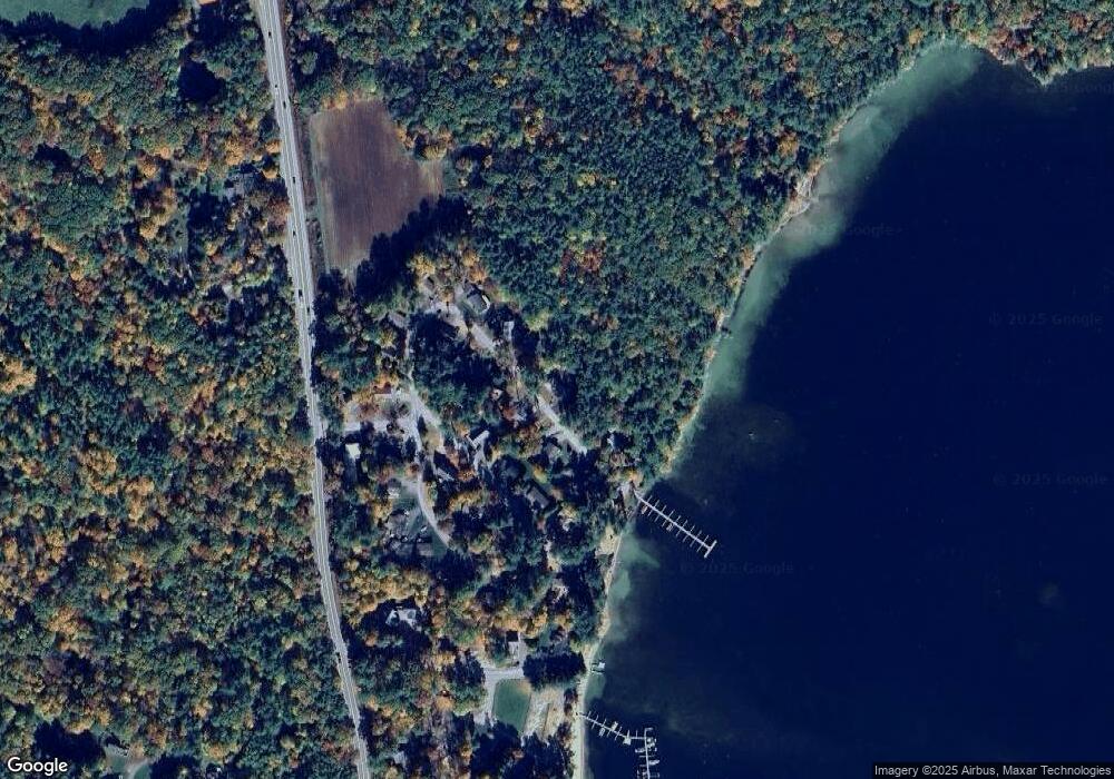
Map
Nearby Homes
- 56 Patrician Shores Cir
- 24 Dew Point Ln
- 320 Redding Ln
- 78 Lake Shore Dr Unit 14
- 22 Tiger Trail
- 9 Kelsea Ave
- 30 Leopards Leap
- 11 Birch Ledge Rd
- 214 Krainewood Dr
- 307 Dane Rd
- 20 True Rd Unit 52
- 20 True Rd Unit 101
- 20 True Rd Unit 22
- 20 True Rd Unit 73
- 20 True Rd Unit 94
- 20 True Rd Unit 93
- 21 Barnard Ridge Rd
- 8 Oak Knoll Rd
- 61 Wallace Point Rd
- 53 Oak Knoll Rd
- 16 Brookhurst Ln E
- 17 Brookhurst Ln E
- 20 Brookhurst Ln E
- 15 Brookhurst Ln E
- 19 Brookhurst Ln E
- 14 Brookhurst Ln E
- 11 Brookhurst Ln E
- 22 Brookhurst Ln E
- 4 Beach Club Ln
- 6 Beach Club Ln
- 21 Brookhurst Ln E
- 8 Beach Club Ln
- 9 Brookhurst Ln E
- 12 Brookhurst Ln E
- 10 Beach Club Ln
- 3 Beach Club Ln
- 5 Beach Club Ln
- 7 Beach Club Ln
- 4 Brookhurst Ln E
- Lot 22 Brookhurst Ln W
Your Personal Tour Guide
Ask me questions while you tour the home.