18 Cooper Ln Lyndeborough, NH 03082
Estimated Value: $516,000 - $680,000
3
Beds
3
Baths
2,785
Sq Ft
$214/Sq Ft
Est. Value
About This Home
This home is located at 18 Cooper Ln, Lyndeborough, NH 03082 and is currently estimated at $594,982, approximately $213 per square foot. 18 Cooper Ln is a home with nearby schools including Lyndeborough Central School, Wilton-Lyndeborough Cooperative Middle School, and Wilton-Lyndeborough Cooperative High School.
Ownership History
Date
Name
Owned For
Owner Type
Purchase Details
Closed on
Apr 20, 2015
Sold by
Cooper Darrell W
Bought by
Maust Drexel J and Mauset Chelsea C
Current Estimated Value
Home Financials for this Owner
Home Financials are based on the most recent Mortgage that was taken out on this home.
Original Mortgage
$244,000
Outstanding Balance
$185,513
Interest Rate
3.72%
Mortgage Type
VA
Estimated Equity
$409,469
Purchase Details
Closed on
Sep 17, 2012
Sold by
Rowell Carl E and Rowell Gail S
Bought by
Cooper Darrell W
Create a Home Valuation Report for This Property
The Home Valuation Report is an in-depth analysis detailing your home's value as well as a comparison with similar homes in the area
Home Values in the Area
Average Home Value in this Area
Purchase History
| Date | Buyer | Sale Price | Title Company |
|---|---|---|---|
| Maust Drexel J | $244,000 | -- | |
| Maust Drexel J | $244,000 | -- | |
| Cooper Darrell W | -- | -- |
Source: Public Records
Mortgage History
| Date | Status | Borrower | Loan Amount |
|---|---|---|---|
| Open | Maust Drexel J | $244,000 | |
| Closed | Maust Drexel J | $244,000 |
Source: Public Records
Tax History
| Year | Tax Paid | Tax Assessment Tax Assessment Total Assessment is a certain percentage of the fair market value that is determined by local assessors to be the total taxable value of land and additions on the property. | Land | Improvement |
|---|---|---|---|---|
| 2025 | $9,483 | $558,800 | $142,800 | $416,000 |
| 2024 | $8,505 | $328,900 | $74,900 | $254,000 |
| 2023 | $7,818 | $328,900 | $74,900 | $254,000 |
| 2022 | $7,110 | $321,700 | $74,900 | $246,800 |
| 2021 | $7,110 | $321,700 | $74,900 | $246,800 |
| 2020 | $5,634 | $264,000 | $74,900 | $189,100 |
| 2019 | $6,638 | $227,800 | $71,700 | $156,100 |
| 2018 | $6,415 | $227,400 | $71,700 | $155,700 |
| 2017 | $6,308 | $227,400 | $71,700 | $155,700 |
| 2016 | $6,308 | $227,400 | $71,700 | $155,700 |
| 2015 | $5,662 | $223,900 | $68,200 | $155,700 |
| 2013 | $1,411 | $58,800 | $58,800 | $0 |
Source: Public Records
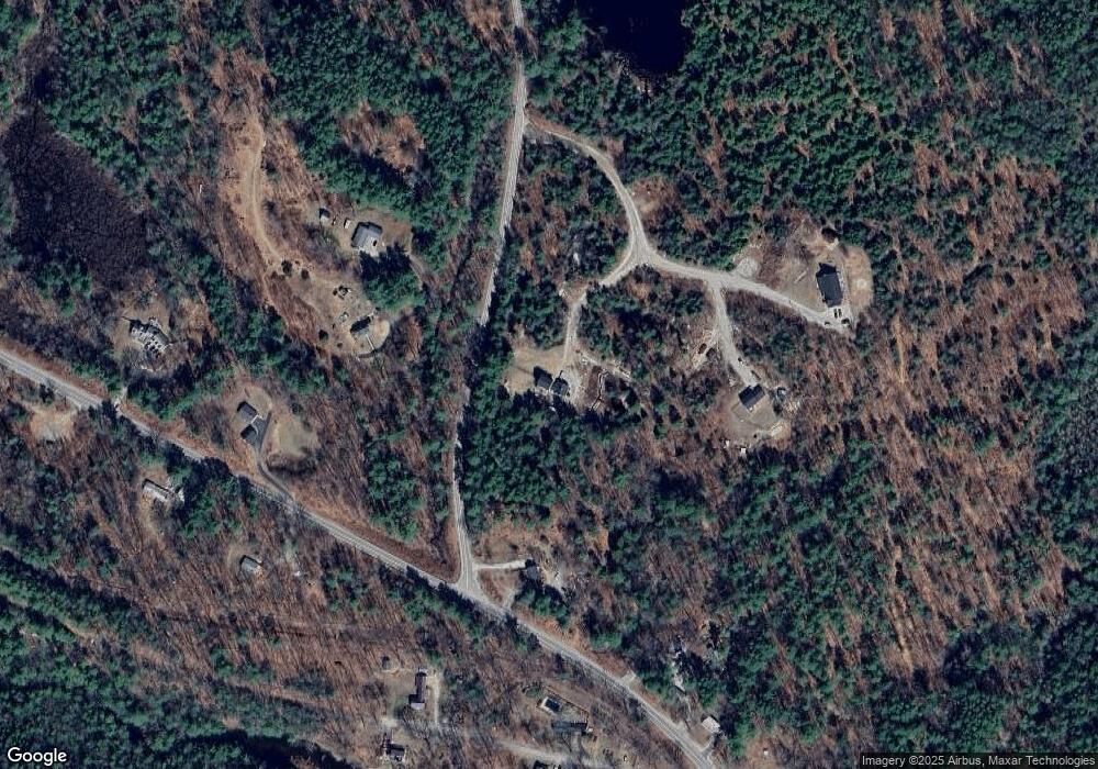
Map
Nearby Homes
- 41 Cooper Ln
- 6 Mottau Dr
- 113 Gulf Rd
- 58-6-2 Duggin Rd
- 58-2 Davisville Rd
- 77 Salisbury Rd
- 25 Burns Hill Rd
- F88-9 McGettigan Rd
- F/88-5 McGettigan Rd
- F/88-4 McGettigan Rd
- 31 Blanchard Hill Rd
- F88-10 McGettigan Rd
- Lots 4 & 7 Gibbons & Robbins Rd
- 143 Falcon Ridge Rd Unit 23
- 85 Intervale Rd
- 33 Falcon Ridge Rd Unit 33
- 47 Birch Hill Rd
- 13 Dow Rd
- 7 Dow Rd
- F-88-11 Aria Hill Dr
- 28 Cooper Ln
- 1711 Center Rd
- 7 Walts Way
- 20 Cooper Ln
- 8 Walts Way
- 1678 Center Rd
- 280 Forest Rd
- 240 Forest Rd
- 32 Brandy Brook Rd
- 14 Brandy Brook Rd
- 277 Forest Rd
- 230 Forest Rd
- 302 Forest Rd
- 35 Brandy Brook Rd
- 17 Brandy Brook Rd
- 291 Forest Rd
- 9 Brandy Brook Rd
- 3 Fredette Dr
- 1644 Center Rd
- 220 Forest Rd
Your Personal Tour Guide
Ask me questions while you tour the home.