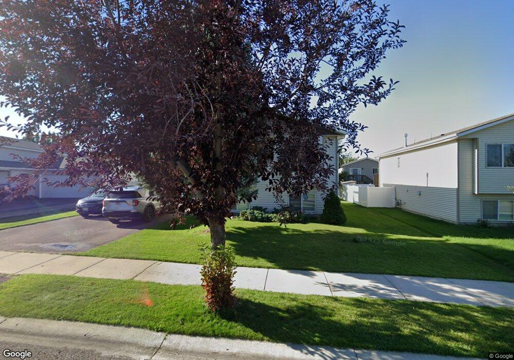
18 Ford Way Kalispell, MT 59901
Estimated Value: $447,000 - $520,412
2
Beds
1
Bath
--
Sq Ft
6,098
Sq Ft Lot
About This Home
This home is located at 18 Ford Way, Kalispell, MT 59901 and is currently estimated at $481,853. 18 Ford Way is a home located in Flathead County with nearby schools including Edgerton School, Glacier High School, and Trinity Lutheran School.
Ownership History
Date
Name
Owned For
Owner Type
Purchase Details
Closed on
Nov 25, 2019
Sold by
Steele Harlan R and Steele Linda E
Bought by
Jacobs Cindy A and Jacobs Matthew
Current Estimated Value
Home Financials for this Owner
Home Financials are based on the most recent Mortgage that was taken out on this home.
Original Mortgage
$158,191
Outstanding Balance
$107,366
Interest Rate
3.6%
Mortgage Type
New Conventional
Estimated Equity
$374,487
Purchase Details
Closed on
Apr 6, 2005
Sold by
Steele Harlan R and Steele Linda E
Bought by
Steele Harlan R and Steele Linda E
Home Financials for this Owner
Home Financials are based on the most recent Mortgage that was taken out on this home.
Original Mortgage
$120,156
Interest Rate
5.84%
Mortgage Type
New Conventional
Purchase Details
Closed on
Apr 5, 2005
Sold by
Skye Inc
Bought by
Steele Harlan R and Steele Linda E
Home Financials for this Owner
Home Financials are based on the most recent Mortgage that was taken out on this home.
Original Mortgage
$120,156
Interest Rate
5.84%
Mortgage Type
New Conventional
Purchase Details
Closed on
Mar 29, 2005
Sold by
Bighorn Development And Homebuilders Inc
Bought by
Miller Shawn M and Oesau Lance L
Home Financials for this Owner
Home Financials are based on the most recent Mortgage that was taken out on this home.
Original Mortgage
$120,156
Interest Rate
5.84%
Mortgage Type
New Conventional
Create a Home Valuation Report for This Property
The Home Valuation Report is an in-depth analysis detailing your home's value as well as a comparison with similar homes in the area
Home Values in the Area
Average Home Value in this Area
Purchase History
| Date | Buyer | Sale Price | Title Company |
|---|---|---|---|
| Jacobs Cindy A | -- | Insured Titles | |
| Steele Harlan R | -- | Alliance Title | |
| Steele Harlan R | -- | Alliance Title | |
| Skye Inc | -- | Alliance Title | |
| Miller Shawn M | -- | Alliance Title |
Source: Public Records
Mortgage History
| Date | Status | Borrower | Loan Amount |
|---|---|---|---|
| Open | Jacobs Cindy A | $158,191 | |
| Previous Owner | Skye Inc | $120,156 | |
| Previous Owner | Miller Shawn M | $120,156 |
Source: Public Records
Tax History Compared to Growth
Tax History
| Year | Tax Paid | Tax Assessment Tax Assessment Total Assessment is a certain percentage of the fair market value that is determined by local assessors to be the total taxable value of land and additions on the property. | Land | Improvement |
|---|---|---|---|---|
| 2025 | $2,541 | $490,100 | $0 | $0 |
| 2024 | $2,980 | $382,700 | $0 | $0 |
| 2023 | $3,322 | $382,700 | $0 | $0 |
| 2022 | $3,295 | $285,500 | $0 | $0 |
| 2021 | $3,226 | $285,500 | $0 | $0 |
| 2020 | $2,627 | $215,500 | $0 | $0 |
| 2019 | $2,632 | $215,500 | $0 | $0 |
| 2018 | $2,189 | $167,500 | $0 | $0 |
| 2017 | $2,195 | $167,500 | $0 | $0 |
| 2016 | $1,994 | $166,100 | $0 | $0 |
| 2015 | $1,994 | $166,100 | $0 | $0 |
| 2014 | $927 | $91,902 | $0 | $0 |
Source: Public Records
Map
Nearby Homes
- 140 Barron Way
- 31 Rockefeller Dr
- 10 Rockefeller Dr
- 119 Barron Way
- 56 W Northview Loop
- 108 Hearst Dr
- 101 Blue Crest Dr
- 206,208,210,212,214, Northridge Way
- 118 Beville Ct
- 173 N Riding Rd
- 210 Kara Dr
- 1267 Quarter Horse Ln
- 224 Kara Dr
- 511 Northridge Dr
- 105 Matthew Ct
- 433 Needlegrass Ln
- 1280 Quarter Horse Ln
- 412 Needlegrass Ln
- 424 Needlegrass Ln
- 125 Sherry Ln