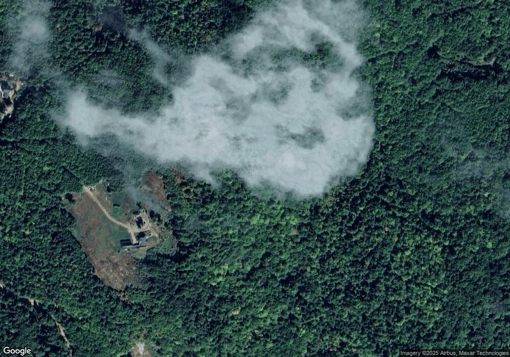
18 New Rd Meredith, NH 03253
Estimated Value: $708,000 - $1,664,407
2
Beds
3
Baths
2,628
Sq Ft
$506/Sq Ft
Est. Value
About This Home
This home is located at 18 New Rd, Meredith, NH 03253 and is currently estimated at $1,328,602, approximately $505 per square foot. 18 New Rd is a home located in Belknap County with nearby schools including Inter-Lakes Elementary School, Sandwich Central School, and Inter-Lakes Middle High School.
Ownership History
Date
Name
Owned For
Owner Type
Purchase Details
Closed on
Aug 27, 2018
Sold by
Ducharme Donna and Ducharme Albert
Bought by
Macdonald Robert and Macdonald Susan
Current Estimated Value
Purchase Details
Closed on
Apr 27, 2016
Sold by
Stjohn-Smith Olivia
Bought by
Ducharme Donna and Ducharme Albet
Purchase Details
Closed on
Jun 29, 2010
Sold by
Ducharme Albert J and Ducharme Donna Ireland
Bought by
Malik Apphia Ft
Create a Home Valuation Report for This Property
The Home Valuation Report is an in-depth analysis detailing your home's value as well as a comparison with similar homes in the area
Home Values in the Area
Average Home Value in this Area
Purchase History
| Date | Buyer | Sale Price | Title Company |
|---|---|---|---|
| Macdonald Robert | $615,000 | -- | |
| Ducharme Donna | $475,000 | -- | |
| Malik Apphia Ft | $160,000 | -- |
Source: Public Records
Mortgage History
| Date | Status | Borrower | Loan Amount |
|---|---|---|---|
| Previous Owner | Malik Apphia Ft | $100,000 | |
| Previous Owner | Malik Apphia Ft | $265,000 |
Source: Public Records
Tax History
| Year | Tax Paid | Tax Assessment Tax Assessment Total Assessment is a certain percentage of the fair market value that is determined by local assessors to be the total taxable value of land and additions on the property. | Land | Improvement |
|---|---|---|---|---|
| 2024 | $11,402 | $1,111,310 | $451,010 | $660,300 |
| 2023 | $10,994 | $1,111,637 | $451,337 | $660,300 |
| 2022 | $10,582 | $757,512 | $265,412 | $492,100 |
| 2021 | $10,106 | $752,485 | $267,785 | $484,700 |
| 2020 | $10,548 | $752,384 | $267,684 | $484,700 |
| 2019 | $10,599 | $667,025 | $217,425 | $449,600 |
| 2018 | $10,426 | $667,455 | $217,855 | $449,600 |
| 2016 | $10,066 | $645,649 | $200,049 | $445,600 |
| 2015 | $9,402 | $618,549 | $200,049 | $418,500 |
| 2014 | $9,173 | $618,549 | $200,049 | $418,500 |
| 2013 | $7,889 | $547,495 | $200,095 | $347,400 |
Source: Public Records
Map
Nearby Homes
- 0 Black Brook Rd Unit 5063655
- 516 Steele Hill Rd Unit Week 1-10 & 51 and
- 516 Steele Hill Rd Unit Float week 17-23; 37
- 516 Steele Hill Rd Unit Floating week 17-23
- 119 Black Brook Rd
- 00 Chemung Rd Unit 31
- 65 Tucker Mountain Rd
- 302 Black Brook Rd
- 6 Loon Point Rd
- 82 Edgerly School Rd
- 15 Drake Rd
- 490 Meredith Center Rd
- 1 Sanctuary Ln
- 18 Solace Pointe Rd
- 314 Stage Rd
- 35 Pinnacle Ridge Rd
- 178 Meredith Center Rd
- 92 Leavitt Rd
- 0 Mountain Rd Unit 5064513
- 391 Turner Way
- 36 New Rd
- 16 New Rd
- lot 9 Roxbury Rd
- 4 Roxbury Rd
- Lot 01 Roxbury Rd
- Lot 3 Roxbury Rd
- Lot 1 Roxbury Rd
- Lot 3 Old Roxbury
- 39 Higgins Rd
- 36 Eastman Rd
- Lot 1 Old Roxbury
- Lots 1 & 3 Old Roxbury
- 17 Eastman Rd
- 216 Roxbury Rd
- 0 Roxbury Rd
- 160 Oak Hill Rd
- 216 Roxbury Rd
- 0 Oak Hill Rd
- 0 Chemung Rd Unit 2702629
- 0 Chemung Rd Unit Lot 31 4705812
Your Personal Tour Guide
Ask me questions while you tour the home.
