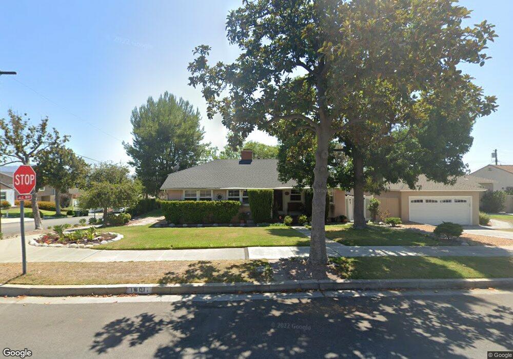
1801 N Kenneth Rd Burbank, CA 91504
Hillside District NeighborhoodEstimated Value: $1,146,171 - $1,478,000
3
Beds
1
Bath
1,349
Sq Ft
$999/Sq Ft
Est. Value
About This Home
This home is located at 1801 N Kenneth Rd, Burbank, CA 91504 and is currently estimated at $1,347,793, approximately $999 per square foot. 1801 N Kenneth Rd is a home located in Los Angeles County with nearby schools including Thomas Jefferson Elementary School, John Muir Middle School, and Burbank High School.
Ownership History
Date
Name
Owned For
Owner Type
Purchase Details
Closed on
May 26, 2006
Sold by
Fiendel George H and Fiendel Cathy M
Bought by
Fiendel George H and Fiendel Cathy M
Current Estimated Value
Purchase Details
Closed on
Jun 28, 2002
Sold by
Walker Viola P and The Viola P Walker Revocable T
Bought by
Fiendel George H and Fiendel Cathy M
Home Financials for this Owner
Home Financials are based on the most recent Mortgage that was taken out on this home.
Original Mortgage
$240,000
Outstanding Balance
$100,368
Interest Rate
6.52%
Estimated Equity
$1,247,425
Create a Home Valuation Report for This Property
The Home Valuation Report is an in-depth analysis detailing your home's value as well as a comparison with similar homes in the area
Home Values in the Area
Average Home Value in this Area
Purchase History
| Date | Buyer | Sale Price | Title Company |
|---|---|---|---|
| Fiendel George H | -- | None Available | |
| Fiendel George H | $375,000 | American Coast Title Company |
Source: Public Records
Mortgage History
| Date | Status | Borrower | Loan Amount |
|---|---|---|---|
| Open | Fiendel George H | $240,000 | |
| Closed | Fiendel George H | $50,000 |
Source: Public Records
Tax History Compared to Growth
Tax History
| Year | Tax Paid | Tax Assessment Tax Assessment Total Assessment is a certain percentage of the fair market value that is determined by local assessors to be the total taxable value of land and additions on the property. | Land | Improvement |
|---|---|---|---|---|
| 2025 | $5,988 | $543,103 | $434,490 | $108,613 |
| 2024 | $5,988 | $532,455 | $425,971 | $106,484 |
| 2023 | $5,924 | $522,016 | $417,619 | $104,397 |
| 2022 | $5,655 | $511,781 | $409,431 | $102,350 |
| 2021 | $5,629 | $501,747 | $401,403 | $100,344 |
| 2019 | $5,400 | $486,868 | $389,499 | $97,369 |
| 2018 | $5,316 | $477,322 | $381,862 | $95,460 |
| 2016 | $5,042 | $458,789 | $367,035 | $91,754 |
| 2015 | $4,939 | $451,898 | $361,522 | $90,376 |
| 2014 | $4,929 | $443,047 | $354,441 | $88,606 |
Source: Public Records
Map
Nearby Homes
- 648 Uclan Dr
- 906 Groton Dr
- 441 University Ave
- 736 Irving Dr
- 854 Irving Dr
- 1814 Grismer Ave
- 1923 Grismer Ave
- 2615 Woodstock Ln
- 724 Price Dr
- 1809 Peyton Ave Unit 313
- 1608 Grismer Ave
- 710 E Walnut Ave
- 418 Delaware Rd
- 230 Bethany Rd Unit 117
- 1622 Keeler St
- 2000 Peyton Ave
- 1702 Landis St
- 2528 N Orchard Dr
- 2014 Peyton Ave
- 1046 E Grinnell Dr
- 1807 N Kenneth Rd
- 1800 Richard St
- 1806 Richard St
- 1813 N Kenneth Rd
- 742 Cambridge Dr
- 1812 Richard St
- 736 Cambridge Dr
- 1800 N Kenneth Rd
- 1819 N Kenneth Rd
- 730 Cambridge Dr
- 1806 N Kenneth Rd
- 1818 Richard St
- 800 Cambridge Dr
- 1812 N Kenneth Rd
- 724 Cambridge Dr
- 1825 N Kenneth Rd
- 1824 Richard St
- 1818 N Kenneth Rd
- 806 Cambridge Dr
- 743 Birmingham Rd