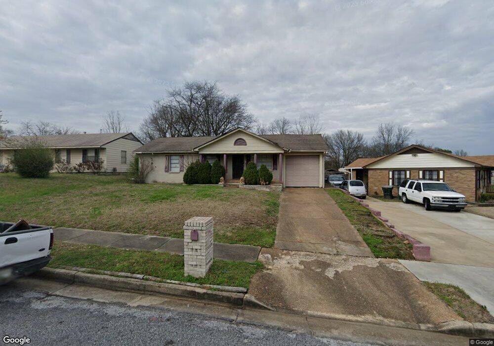
1808 Patrick Rd Memphis, TN 38114
Southeast Memphis NeighborhoodEstimated Value: $101,000 - $132,000
3
Beds
1
Bath
1,925
Sq Ft
$59/Sq Ft
Est. Value
About This Home
This home is located at 1808 Patrick Rd, Memphis, TN 38114 and is currently estimated at $113,803, approximately $59 per square foot. 1808 Patrick Rd is a home located in Shelby County with nearby schools including Hamilton High School, Believe Memphis Academy Charter School, and Memphis College Preparatory.
Ownership History
Date
Name
Owned For
Owner Type
Purchase Details
Closed on
Jul 24, 2009
Sold by
Tri State Bank Of Memphis
Bought by
Mitchell Derek T and Mitchell Peggy
Current Estimated Value
Purchase Details
Closed on
Nov 8, 2005
Sold by
Joe Michael Development Corp
Bought by
Tri State Bank Of Memphis
Purchase Details
Closed on
May 5, 2005
Sold by
Wooten Steven D
Bought by
Tennessee Investment Properties
Create a Home Valuation Report for This Property
The Home Valuation Report is an in-depth analysis detailing your home's value as well as a comparison with similar homes in the area
Home Values in the Area
Average Home Value in this Area
Purchase History
| Date | Buyer | Sale Price | Title Company |
|---|---|---|---|
| Mitchell Derek T | $15,000 | None Available | |
| Tri State Bank Of Memphis | $113,000 | -- | |
| Tennessee Investment Properties | $38,600 | -- |
Source: Public Records
Tax History
| Year | Tax Paid | Tax Assessment Tax Assessment Total Assessment is a certain percentage of the fair market value that is determined by local assessors to be the total taxable value of land and additions on the property. | Land | Improvement |
|---|---|---|---|---|
| 2025 | $600 | $21,025 | $2,750 | $18,275 |
| 2024 | -- | $17,750 | $1,125 | $16,625 |
| 2023 | $1,081 | $17,750 | $1,125 | $16,625 |
| 2022 | $1,081 | $17,750 | $1,125 | $16,625 |
| 2021 | $1,094 | $17,750 | $1,125 | $16,625 |
| 2020 | $1,197 | $16,525 | $1,125 | $15,400 |
| 2019 | $1,197 | $16,525 | $1,125 | $15,400 |
| 2018 | $1,197 | $16,525 | $1,125 | $15,400 |
| 2017 | $679 | $16,525 | $1,125 | $15,400 |
| 2016 | $736 | $16,850 | $0 | $0 |
| 2014 | $736 | $16,850 | $0 | $0 |
Source: Public Records
Map
Nearby Homes
- 2417 Sherrie Cove
- 2442 Manchester Rd
- 2416 Verdun St
- 2416 Rozelle St
- 2525 Rozelle St
- 0 Bridgeport Dr Unit 10214295
- 2352 Verdun Cove
- 1540 Clementine Rd
- 2344 N Orchid Dr Unit 33
- 2944 Millbranch Rd
- 1493 E Alcy Rd
- 1490 Lockhaven Ave
- 2601 Darlene St
- 0 Carlton Rd
- 2394 Warren St
- 2344 Warren St
- 2136 Sparks St
- 0 W Hollyford Rd
- 2392 W Hollyford Rd
- 0 Lindbergh Rd
- 1802 Patrick Rd
- 2501 Sherrie St
- 1796 Patrick Rd
- 1809 E Alcy Rd
- 1803 E Alcy Rd
- 2485 Sherrie St
- 1790 Patrick Rd
- 1809 Patrick Rd
- 1797 E Alcy Rd
- 1817 Patrick Rd
- 1803 Patrick Rd
- 1830 Patrick Rd
- 1797 Patrick Rd
- 1784 Patrick Rd
- 1791 Patrick Rd
- 2529 Sherrie St
- 2486 Sherrie St
- 1785 E Alcy Rd
- 2520 Sherrie St
- 1840 Patrick Rd
Your Personal Tour Guide
Ask me questions while you tour the home.