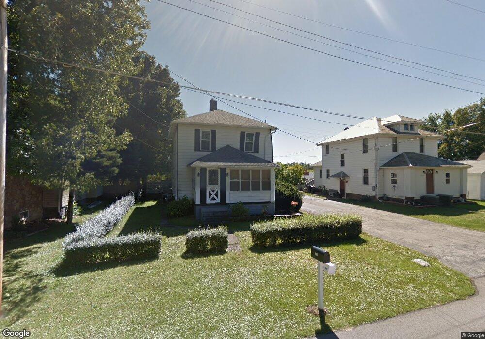
18091 Derr Ave Beloit, OH 44609
Estimated Value: $117,556 - $180,000
3
Beds
1
Bath
1,240
Sq Ft
$114/Sq Ft
Est. Value
About This Home
This home is located at 18091 Derr Ave, Beloit, OH 44609 and is currently estimated at $140,889, approximately $113 per square foot. 18091 Derr Ave is a home located in Mahoning County with nearby schools including West Branch Middle School, West Branch Early Learning Center, and West Branch High School.
Ownership History
Date
Name
Owned For
Owner Type
Purchase Details
Closed on
Apr 11, 2018
Bought by
Morrison William T
Current Estimated Value
Purchase Details
Closed on
Nov 21, 1966
Bought by
Morrison William and Morrison Vj
Create a Home Valuation Report for This Property
The Home Valuation Report is an in-depth analysis detailing your home's value as well as a comparison with similar homes in the area
Purchase History
| Date | Buyer | Sale Price | Title Company |
|---|---|---|---|
| Morrison William T | -- | -- | |
| Morrison William | -- | -- |
Source: Public Records
Tax History
| Year | Tax Paid | Tax Assessment Tax Assessment Total Assessment is a certain percentage of the fair market value that is determined by local assessors to be the total taxable value of land and additions on the property. | Land | Improvement |
|---|---|---|---|---|
| 2025 | $766 | $29,210 | $2,460 | $26,750 |
| 2024 | $780 | $29,210 | $2,460 | $26,750 |
| 2023 | $791 | $29,210 | $2,460 | $26,750 |
| 2022 | $600 | $21,550 | $2,460 | $19,090 |
| 2021 | $656 | $21,550 | $2,460 | $19,090 |
| 2020 | $658 | $21,550 | $2,460 | $19,090 |
| 2019 | $489 | $17,380 | $2,460 | $14,920 |
| 2018 | $487 | $17,380 | $2,460 | $14,920 |
| 2017 | $489 | $17,380 | $2,460 | $14,920 |
| 2016 | $493 | $17,550 | $2,270 | $15,280 |
| 2015 | $482 | $17,550 | $2,270 | $15,280 |
| 2014 | $484 | $17,550 | $2,270 | $15,280 |
| 2013 | $478 | $17,550 | $2,270 | $15,280 |
Source: Public Records
Map
Nearby Homes
- 18061 Derr Ave
- 18280 5th St
- 57 Redwood St
- 18262 W Pine Lake Rd
- 345 E Indiana Ave
- 430 Hillsdale St
- 423 S 14th St
- 195 E Pennsylvania Ave
- 157 E Ohio Ave
- 324 S 15th St
- 208 S 15th St
- 945 N 12th St
- 104 W Carolina Ave
- 125 E Indiana Ave
- 166 E Michigan Ave
- 175 W Ohio Ave
- 1005 N 13th St
- 0 W Nevada Ave Unit 5181868
- 406 W Ohio Ave
- 406 W Indiana Ave
- 18101 Derr Ave
- 18081 Derr Ave
- 18071 Derr Ave
- 18121 Derr Ave
- 18102 Derr Ave
- 18082 Derr Ave
- 18053 Derr Ave
- 18122 Derr Ave
- 18062 Derr Ave
- 18141 Derr Ave
- 18043 Derr Ave
- 18044 Derr Ave
- 18152 Derr Ave
- 18161 Derr Ave
- 13816 S Main St
- 13806 S Main St
- 13826 S Main St
- 13788 S Main St
- 13778 S Main St
- 13758 S Main St
Your Personal Tour Guide
Ask me questions while you tour the home.