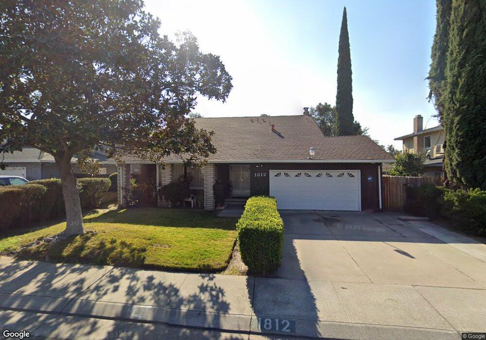
1812 Cheyenne Way Stockton, CA 95209
Stonewood NeighborhoodEstimated Value: $479,634 - $512,000
3
Beds
3
Baths
2,534
Sq Ft
$196/Sq Ft
Est. Value
About This Home
This home is located at 1812 Cheyenne Way, Stockton, CA 95209 and is currently estimated at $496,909, approximately $196 per square foot. 1812 Cheyenne Way is a home located in San Joaquin County with nearby schools including Oakwood Elementary School, Delta Sierra Middle School, and Bear Creek High School.
Ownership History
Date
Name
Owned For
Owner Type
Purchase Details
Closed on
Nov 9, 2022
Sold by
Lewis Robert L and Lewis Willie Mae
Bought by
Lewis Robert Lee and Lewis Willie Mae
Current Estimated Value
Create a Home Valuation Report for This Property
The Home Valuation Report is an in-depth analysis detailing your home's value as well as a comparison with similar homes in the area
Home Values in the Area
Average Home Value in this Area
Purchase History
| Date | Buyer | Sale Price | Title Company |
|---|---|---|---|
| Lewis Robert Lee | -- | -- |
Source: Public Records
Tax History Compared to Growth
Tax History
| Year | Tax Paid | Tax Assessment Tax Assessment Total Assessment is a certain percentage of the fair market value that is determined by local assessors to be the total taxable value of land and additions on the property. | Land | Improvement |
|---|---|---|---|---|
| 2025 | $1,587 | $146,409 | $18,475 | $127,934 |
| 2024 | $1,556 | $143,539 | $18,113 | $125,426 |
| 2023 | $1,537 | $140,725 | $17,758 | $122,967 |
| 2022 | $1,501 | $137,966 | $17,410 | $120,556 |
| 2021 | $1,533 | $135,262 | $17,069 | $118,193 |
| 2020 | $1,496 | $133,876 | $16,894 | $116,982 |
| 2019 | $1,460 | $131,252 | $16,563 | $114,689 |
| 2018 | $1,432 | $128,680 | $16,239 | $112,441 |
| 2017 | $1,397 | $126,158 | $15,921 | $110,237 |
| 2016 | $1,315 | $123,684 | $15,609 | $108,075 |
| 2014 | $1,297 | $119,442 | $15,074 | $104,368 |
Source: Public Records
Map
Nearby Homes
- 1903 Chaparral Way
- 1957 Comstock Dr
- 9431 Shawnee Ct
- 1626 Navajo Dr
- 9511 Theresa Cir
- 1927 Gerber Dr
- 9421 Carter Ct
- 9409 Carter Ct
- 2306 Stanfield Dr
- 2317 Estate Dr
- 9969 River View Cir
- 2433 Broadridge Way
- 2409 Stanfield Dr
- 10014 River Bluff Ln
- 10242 Creek Trail Cir
- 2440 Stanfield Dr
- 9845 Koala Ct
- 1145 Hartwell Ave
- 1020 Oakleaf Way
- 2607 Summerfield Dr
- 1806 Cheyenne Way
- 1818 Cheyenne Way
- 1828 Laredo Cir
- 9641 Hickock Dr
- 1813 Cheyenne Way
- 1807 Cheyenne Way
- 1832 Laredo Cir
- 1819 Cheyenne Way
- 9633 Hickock Dr
- 9642 Hickock Dr
- 9650 Hickock Dr
- 1825 Cheyenne Way
- 1827 Laredo Cir Unit Cr
- 1827 Laredo Cir
- 1823 Laredo Cir
- 9634 Hickock Dr
- 1836 Laredo Cir
- 9708 Hickock Dr
- 1833 Laredo Cir
- 9625 Hickock Dr