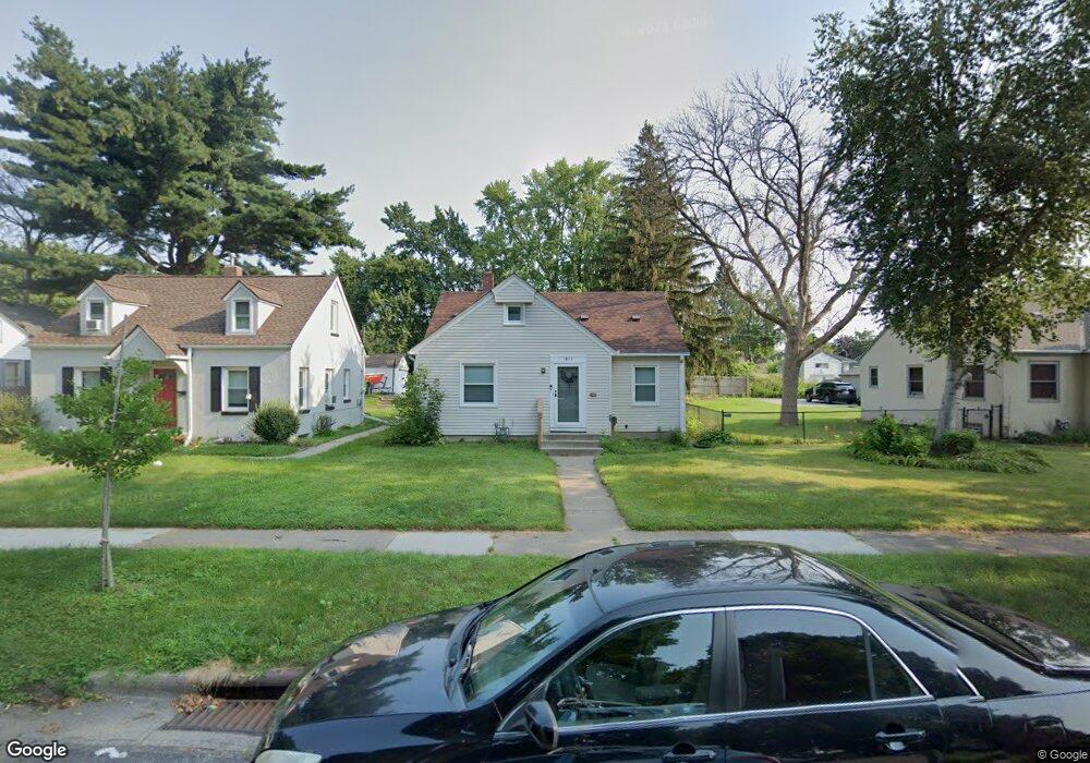
1815 Bush Ave E Saint Paul, MN 55119
Hazel Park NeighborhoodEstimated Value: $223,000 - $267,000
2
Beds
1
Bath
1,037
Sq Ft
$235/Sq Ft
Est. Value
About This Home
This home is located at 1815 Bush Ave E, Saint Paul, MN 55119 and is currently estimated at $243,760, approximately $235 per square foot. 1815 Bush Ave E is a home located in Ramsey County with nearby schools including Hazel Park Preparatory Academy, Battle Creek Middle School, and Johnson Senior High School.
Ownership History
Date
Name
Owned For
Owner Type
Purchase Details
Closed on
Jun 9, 2023
Sold by
Vue Pahoua Thao and Vue Chadoua
Bought by
Muas Petus V and Duong Thi Sai
Current Estimated Value
Purchase Details
Closed on
Aug 3, 2021
Sold by
Chagnon John K and Chagnon Jane M
Bought by
Thao Pahoua
Home Financials for this Owner
Home Financials are based on the most recent Mortgage that was taken out on this home.
Original Mortgage
$217,979
Interest Rate
2.9%
Mortgage Type
FHA
Create a Home Valuation Report for This Property
The Home Valuation Report is an in-depth analysis detailing your home's value as well as a comparison with similar homes in the area
Home Values in the Area
Average Home Value in this Area
Purchase History
| Date | Buyer | Sale Price | Title Company |
|---|---|---|---|
| Muas Petus V | $280,000 | Title Smart | |
| Thao Pahoua | $222,000 | Titlesmart Inc | |
| Thao Pahoua Pahoua | $222,000 | -- |
Source: Public Records
Mortgage History
| Date | Status | Borrower | Loan Amount |
|---|---|---|---|
| Previous Owner | Thao Pahoua | $217,979 | |
| Closed | Thao Pahoua Pahoua | $217,979 |
Source: Public Records
Tax History
| Year | Tax Paid | Tax Assessment Tax Assessment Total Assessment is a certain percentage of the fair market value that is determined by local assessors to be the total taxable value of land and additions on the property. | Land | Improvement |
|---|---|---|---|---|
| 2025 | $3,196 | $214,200 | $30,000 | $184,200 |
| 2023 | $3,196 | $217,000 | $25,000 | $192,000 |
| 2022 | $2,882 | $218,300 | $25,000 | $193,300 |
| 2021 | $2,330 | $183,400 | $25,000 | $158,400 |
| 2020 | $2,392 | $165,200 | $14,300 | $150,900 |
| 2019 | $2,420 | $159,300 | $14,300 | $145,000 |
| 2018 | $1,858 | $158,600 | $14,300 | $144,300 |
| 2017 | $1,562 | $131,300 | $14,300 | $117,000 |
| 2016 | $1,450 | $0 | $0 | $0 |
| 2015 | $1,320 | $108,900 | $14,300 | $94,600 |
| 2014 | $1,190 | $0 | $0 | $0 |
Source: Public Records
Map
Nearby Homes
- 1803 Bush Ave E
- 1810 Ross Ave E
- 1836 Bush Ave E
- 1764 Bush Ave
- 1824 & 1822 Stillwater Ave E
- 1685 Bush Ave
- 1708 Minnehaha Ave E
- 1824 Sims Ave
- 1683 Minnehaha Ave E
- 1747 York Ave
- 1704 Beech St
- 1929 Margaret St
- 828 Iroquois Ave
- 834 Iroquois Ave
- 1981 Minnehaha Ave E
- 2002 Nortonia Ave
- 1954 Case Ave E
- 935 Kennard St
- 1924 5th St E
- 2072 Mohawk Ave
- 1811 Bush Ave E
- 1825 Bush Ave E
- 1825 1825 Bush-Avenue-
- 1825 1825 Bush Ave E
- 1827 1827 Bush-Avenue-e
- 1827 1827 Bush Ave E
- 1827 Bush Ave E
- 1803 1803 Bush Ave E
- 1816 Ross Ave E
- 1816 1816 Ross-Avenue-e
- 1816 1816 Ross Ave E
- 1820 Ross Ave E
- 1812 Ross Ave E
- 1810 1810 Ross Ave E
- 1824 Ross Ave E
- 1831 Bush Ave E
- 1818 Bush Ave E
- 1806 Ross Ave E
- 1828 Ross Ave E
- 1795 Bush Ave E
Your Personal Tour Guide
Ask me questions while you tour the home.