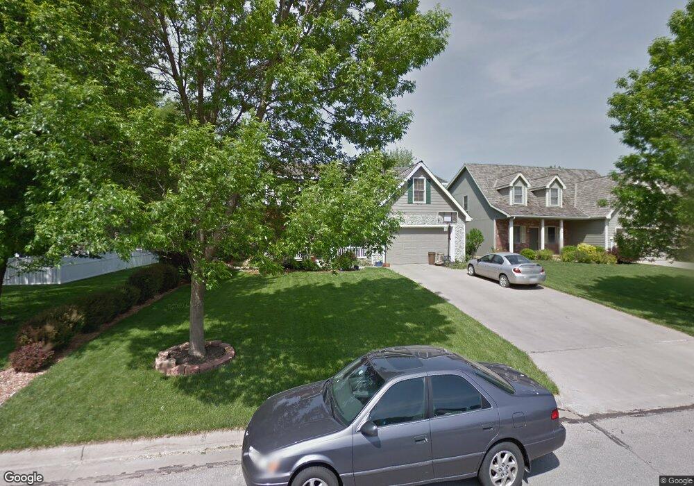
1816 Carmel Dr Lawrence, KS 66047
Estimated Value: $432,403 - $492,000
4
Beds
3
Baths
2,719
Sq Ft
$170/Sq Ft
Est. Value
About This Home
This home is located at 1816 Carmel Dr, Lawrence, KS 66047 and is currently estimated at $461,601, approximately $169 per square foot. 1816 Carmel Dr is a home located in Douglas County with nearby schools including Sunflower Elementary School, Southwest Middle School, and Lawrence High School.
Ownership History
Date
Name
Owned For
Owner Type
Purchase Details
Closed on
Mar 20, 2019
Sold by
Feezell Randolph M and Feezell Barbara J
Bought by
Fry Brent and Fry Ashley
Current Estimated Value
Home Financials for this Owner
Home Financials are based on the most recent Mortgage that was taken out on this home.
Original Mortgage
$202,900
Outstanding Balance
$130,655
Interest Rate
4.3%
Mortgage Type
New Conventional
Estimated Equity
$330,946
Create a Home Valuation Report for This Property
The Home Valuation Report is an in-depth analysis detailing your home's value as well as a comparison with similar homes in the area
Purchase History
| Date | Buyer | Sale Price | Title Company |
|---|---|---|---|
| Fry Brent | -- | Continental Title Company |
Source: Public Records
Mortgage History
| Date | Status | Borrower | Loan Amount |
|---|---|---|---|
| Open | Fry Brent | $202,900 |
Source: Public Records
Tax History
| Year | Tax Paid | Tax Assessment Tax Assessment Total Assessment is a certain percentage of the fair market value that is determined by local assessors to be the total taxable value of land and additions on the property. | Land | Improvement |
|---|---|---|---|---|
| 2025 | $5,962 | $47,840 | $7,475 | $40,365 |
| 2024 | $5,787 | $46,449 | $7,475 | $38,974 |
| 2023 | $5,867 | $45,483 | $7,475 | $38,008 |
| 2022 | $5,438 | $41,895 | $7,475 | $34,420 |
| 2021 | $4,548 | $34,017 | $6,334 | $27,683 |
| 2020 | $4,435 | $33,350 | $6,334 | $27,016 |
| 2019 | $4,219 | $31,774 | $6,334 | $25,440 |
| 2018 | $4,216 | $31,521 | $6,334 | $25,187 |
| 2017 | $4,610 | $34,051 | $6,334 | $27,717 |
| 2016 | $4,370 | $33,718 | $5,173 | $28,545 |
| 2015 | $4,344 | $33,511 | $5,173 | $28,338 |
| 2014 | $4,230 | $32,959 | $5,173 | $27,786 |
Source: Public Records
Map
Nearby Homes
- 2009 Riviera Ct
- 1601 Research Park Dr
- 1608 Prestwick Dr
- 2101 Riviera Dr
- 2014 Riviera Ct
- 4206 Nicklaus Dr
- 5020 W 18th St
- 1315 Research Park Dr
- 1407 Brighton Cir
- 1232 Belair Ct
- 4404 W 24th Place
- 4600 Royal Birkdale Ct
- 4215 Wimbledon Dr
- 2429 Via Linda Dr
- 1604 Bob White Dr
- 4712 Mccormick St
- 5710 Goff Ct
- 1204 Chadwick Ct
- 1908 Crossgate Dr
- 1347 Kanza Dr
- 1812 Carmel Dr
- 1820 Alvamar Place
- 1900 Spyglass Ct
- 1816 Alvamar Place
- 1808 Carmel Dr
- 1904 Spyglass Ct
- 1812 Alvamar Place
- 1808 Alvamar Place
- 1804 Carmel Dr
- 1821 Carmel Dr
- 1817 Carmel Dr
- 1809 Alvamar Place
- 1804 Alvamar Place
- 1908 Spyglass Ct
- 1901 Carmel Dr
- 1805 Alvamar Place
- 1809 Carmel Dr
- 1800 Alvamar Place
- 1920 Spyglass Ct
- 1905 Carmel Dr
Your Personal Tour Guide
Ask me questions while you tour the home.