1816 Westfield Rd Paso Robles, CA 93446
Estimated Value: $424,978 - $522,000
2
Beds
2
Baths
1,088
Sq Ft
$428/Sq Ft
Est. Value
About This Home
This home is located at 1816 Westfield Rd, Paso Robles, CA 93446 and is currently estimated at $465,745, approximately $428 per square foot. 1816 Westfield Rd is a home located in San Luis Obispo County with nearby schools including Virginia Peterson Elementary School, Daniel Lewis Middle School, and Paso Robles High School.
Ownership History
Date
Name
Owned For
Owner Type
Purchase Details
Closed on
Feb 28, 2019
Sold by
Muir Edward J and Muir Linda L
Bought by
Muir Edward J and Muir Linda L
Current Estimated Value
Purchase Details
Closed on
Jan 3, 2008
Sold by
Muir Edward J and Muir Linda L
Bought by
Muir Edward J and Muir Linda L
Purchase Details
Closed on
Jul 2, 2003
Sold by
Oakes Pennie J
Bought by
Muir Edward J and Muir Linda L
Home Financials for this Owner
Home Financials are based on the most recent Mortgage that was taken out on this home.
Original Mortgage
$183,300
Outstanding Balance
$77,695
Interest Rate
5.22%
Mortgage Type
Purchase Money Mortgage
Estimated Equity
$388,050
Create a Home Valuation Report for This Property
The Home Valuation Report is an in-depth analysis detailing your home's value as well as a comparison with similar homes in the area
Home Values in the Area
Average Home Value in this Area
Purchase History
| Date | Buyer | Sale Price | Title Company |
|---|---|---|---|
| Muir Edward J | -- | None Available | |
| Muir Edward J | -- | Accommodation | |
| Muir Edward J | $185,000 | First American Title Company |
Source: Public Records
Mortgage History
| Date | Status | Borrower | Loan Amount |
|---|---|---|---|
| Open | Muir Edward J | $183,300 |
Source: Public Records
Tax History Compared to Growth
Tax History
| Year | Tax Paid | Tax Assessment Tax Assessment Total Assessment is a certain percentage of the fair market value that is determined by local assessors to be the total taxable value of land and additions on the property. | Land | Improvement |
|---|---|---|---|---|
| 2025 | $2,789 | $263,007 | $99,514 | $163,493 |
| 2024 | $2,742 | $257,851 | $97,563 | $160,288 |
| 2023 | $2,742 | $252,796 | $95,650 | $157,146 |
| 2022 | $2,700 | $247,840 | $93,775 | $154,065 |
| 2021 | $2,652 | $242,982 | $91,937 | $151,045 |
| 2020 | $2,615 | $240,492 | $90,995 | $149,497 |
| 2019 | $2,576 | $235,777 | $89,211 | $146,566 |
| 2018 | $2,540 | $231,155 | $87,462 | $143,693 |
| 2017 | $2,387 | $226,624 | $85,748 | $140,876 |
| 2016 | $2,338 | $222,181 | $84,067 | $138,114 |
| 2015 | $2,329 | $218,845 | $82,805 | $136,040 |
| 2014 | $2,246 | $214,559 | $81,183 | $133,376 |
Source: Public Records
Map
Nearby Homes
- 1927 Fieldstone Cir
- 1719 Lark Ellen Dr
- 505 Creekside Ct
- 1823 Kimberly Dr
- 902 Sycamore Canyon Rd
- 1835 Ponderosa Ln
- 611 Larkfield Place
- 1824 Marigold Ln
- 1951 Tulipwood Dr
- 5185 Airport Rd
- 1615 Poppy Ln
- 1121 Turtle Creek Rd
- 1337 Stoney Creek Rd
- 204 Nighthawk Dr
- 830 Sycamore Canyon Rd
- 3730 Rosado Rd
- 1313 Cava Rd
- Excite II Plan at Nevina - Freedom 50
- Reunion II Plan at Nevina - Freedom 40
- Vertex Plan at Nevina - Freedom 60
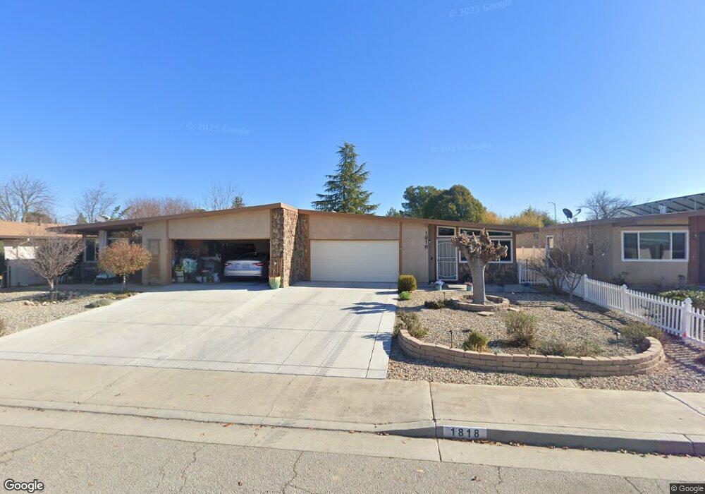
- 1818 Westfield Rd
- 1812 Westfield Rd
- 1808 Westfield Rd
- 1822 Westfield Rd
- 1811 Shepherd Dr
- 1824 Westfield Rd
- 1804 Westfield Rd
- 1807 Shepherd Dr
- 1817 Shepherd Dr
- 1819 Shepherd Dr
- 1815 Westfield Rd
- 1826 Westfield Rd
- 1802 Westfield Rd
- 1819 Westfield Rd
- 1813 Westfield Rd
- 1805 Shepherd Dr
- 1821 Westfield Rd
- 1809 Westfield Rd
- 1828 Westfield Rd
- 1807 Westfield Rd