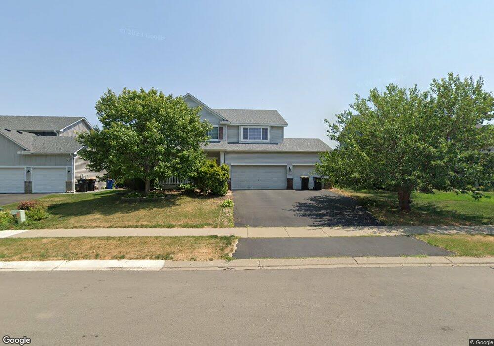
1817 Wyndam Dr Shakopee, MN 55379
Estimated Value: $499,004 - $542,000
4
Beds
2
Baths
2,378
Sq Ft
$220/Sq Ft
Est. Value
About This Home
This home is located at 1817 Wyndam Dr, Shakopee, MN 55379 and is currently estimated at $524,001, approximately $220 per square foot. 1817 Wyndam Dr is a home located in Scott County with nearby schools including Eagle Creek Elementary School, Pennsville Middle School, and East Middle School.
Ownership History
Date
Name
Owned For
Owner Type
Purchase Details
Closed on
Oct 26, 2022
Sold by
Vankeulen Andrea and Vankeulen Kraig
Bought by
Vankeulen Andrea and Vankeulen Van Keulen
Current Estimated Value
Home Financials for this Owner
Home Financials are based on the most recent Mortgage that was taken out on this home.
Original Mortgage
$437,000
Outstanding Balance
$420,464
Interest Rate
6.02%
Mortgage Type
New Conventional
Estimated Equity
$103,537
Purchase Details
Closed on
Oct 12, 2022
Sold by
Shunmugam Ravikumar and Shunmugam Sudha
Bought by
Vankeulen Andrea
Home Financials for this Owner
Home Financials are based on the most recent Mortgage that was taken out on this home.
Original Mortgage
$437,000
Outstanding Balance
$420,464
Interest Rate
6.02%
Mortgage Type
New Conventional
Estimated Equity
$103,537
Purchase Details
Closed on
Oct 7, 2005
Sold by
Mattamy Minneapolis Partnership
Bought by
Shunmugam Ravikumar and Ravikumar Sudha
Create a Home Valuation Report for This Property
The Home Valuation Report is an in-depth analysis detailing your home's value as well as a comparison with similar homes in the area
Home Values in the Area
Average Home Value in this Area
Purchase History
| Date | Buyer | Sale Price | Title Company |
|---|---|---|---|
| Vankeulen Andrea | $3,000 | Arden Title | |
| Vankeulen Andrea | $460,000 | Chicago Title | |
| Shunmugam Ravikumar | $358,398 | -- |
Source: Public Records
Mortgage History
| Date | Status | Borrower | Loan Amount |
|---|---|---|---|
| Open | Vankeulen Andrea | $437,000 |
Source: Public Records
Tax History Compared to Growth
Tax History
| Year | Tax Paid | Tax Assessment Tax Assessment Total Assessment is a certain percentage of the fair market value that is determined by local assessors to be the total taxable value of land and additions on the property. | Land | Improvement |
|---|---|---|---|---|
| 2025 | $4,952 | $466,100 | $135,100 | $331,000 |
| 2024 | $4,876 | $472,800 | $135,100 | $337,700 |
| 2023 | $5,110 | $455,100 | $129,900 | $325,200 |
| 2022 | $4,728 | $468,500 | $147,600 | $320,900 |
| 2021 | $4,294 | $373,800 | $115,900 | $257,900 |
| 2020 | $4,684 | $370,500 | $111,200 | $259,300 |
| 2019 | $4,780 | $355,500 | $98,800 | $256,700 |
| 2018 | $4,428 | $0 | $0 | $0 |
| 2016 | $4,312 | $0 | $0 | $0 |
| 2014 | -- | $0 | $0 | $0 |
Source: Public Records
Map
Nearby Homes
- 1895 Omega Dr
- 1624 Philipp Way
- 1545 Philipp Way
- 1515 Philipp Way
- 1491 Philipp Way
- 2777 Pampas Ct
- 1580 Philipp Way
- 1520 Philipp Way
- 2886 Trinity Dr
- 2910 Trinity Dr
- 2868 Trinity Dr
- 2804 Trinity Dr
- 2942 Trinity Dr
- 3635 Wren Ave
- 2931 Trinity Dr
- Lewis Plan at Summerland Place - Landmark Collection
- 2795 Downing Ave
- Vanderbilt Plan at Summerland Place - Landmark Collection
- Sinclair Plan at Summerland Place - Landmark Collection
- 1838 Archer St