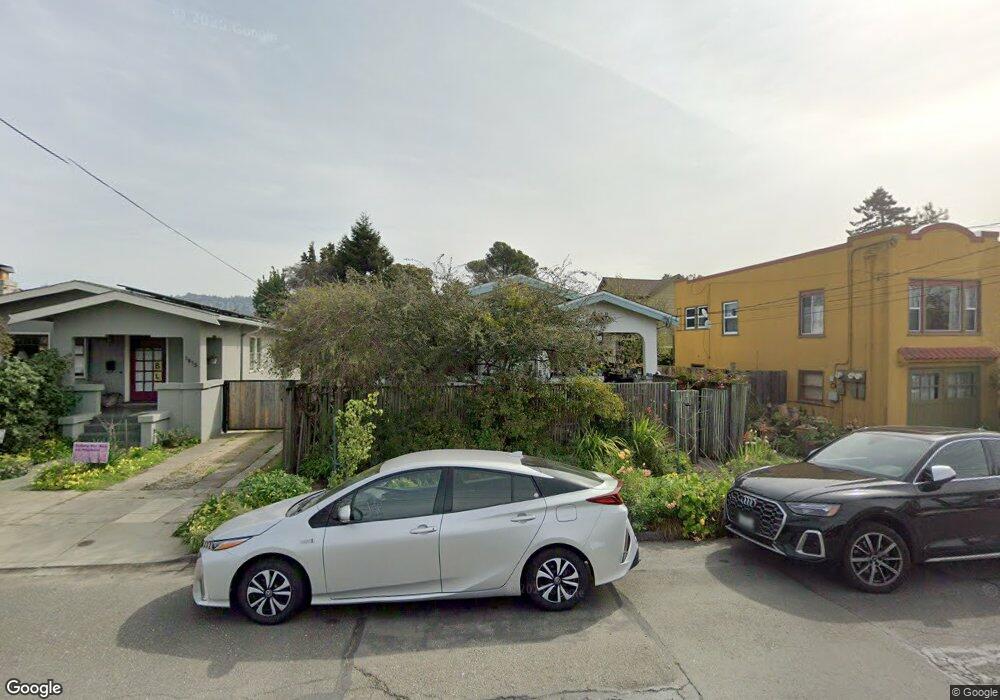
1819 Curtis St Unit 1 Berkeley, CA 94702
West Berkeley NeighborhoodEstimated Value: $873,000 - $967,000
2
Beds
1
Bath
1,158
Sq Ft
$806/Sq Ft
Est. Value
About This Home
This home is located at 1819 Curtis St Unit 1, Berkeley, CA 94702 and is currently estimated at $933,017, approximately $805 per square foot. 1819 Curtis St Unit 1 is a home located in Alameda County with nearby schools including Rosa Parks Elementary School, Ruth Acty Elementary, and Berkeley Arts Magnet at Whittier School.
Ownership History
Date
Name
Owned For
Owner Type
Purchase Details
Closed on
Jun 20, 1995
Sold by
Evans Krishna and Silliman Ronald G
Bought by
Anania Dale A
Current Estimated Value
Home Financials for this Owner
Home Financials are based on the most recent Mortgage that was taken out on this home.
Original Mortgage
$137,600
Interest Rate
6.25%
Mortgage Type
Purchase Money Mortgage
Create a Home Valuation Report for This Property
The Home Valuation Report is an in-depth analysis detailing your home's value as well as a comparison with similar homes in the area
Home Values in the Area
Average Home Value in this Area
Purchase History
| Date | Buyer | Sale Price | Title Company |
|---|---|---|---|
| Anania Dale A | $172,000 | First American Title Guarant |
Source: Public Records
Mortgage History
| Date | Status | Borrower | Loan Amount |
|---|---|---|---|
| Closed | Anania Dale A | $137,600 |
Source: Public Records
Tax History Compared to Growth
Tax History
| Year | Tax Paid | Tax Assessment Tax Assessment Total Assessment is a certain percentage of the fair market value that is determined by local assessors to be the total taxable value of land and additions on the property. | Land | Improvement |
|---|---|---|---|---|
| 2025 | $5,717 | $278,718 | $85,715 | $200,003 |
| 2024 | $5,717 | $273,117 | $84,035 | $196,082 |
| 2023 | $5,582 | $274,624 | $82,387 | $192,237 |
| 2022 | $5,448 | $262,241 | $80,772 | $188,469 |
| 2021 | $5,436 | $256,962 | $79,188 | $184,774 |
| 2020 | $5,072 | $261,257 | $78,377 | $182,880 |
| 2019 | $4,791 | $256,134 | $76,840 | $179,294 |
| 2018 | $4,690 | $251,114 | $75,334 | $175,780 |
| 2017 | $4,508 | $246,191 | $73,857 | $172,334 |
| 2016 | $4,303 | $241,365 | $72,409 | $168,956 |
| 2015 | $4,237 | $237,741 | $71,322 | $166,419 |
| 2014 | $4,185 | $233,085 | $69,925 | $163,160 |
Source: Public Records
Map
Nearby Homes
- 1919 Curtis St
- 1128 Delaware St
- 1728 Curtis St
- 1322 Virginia St
- 1011 Delaware St
- 1360 Berkeley Way
- 1009 Addison St
- 1642 10th St
- 1623 10th St
- 2220 Browning St
- 1436 Delaware St
- 1914 7th St Unit B
- 817 Delaware St
- 1050 Allston Way
- 2220 7th St
- 2230 Sacramento St
- 1929 California St
- 2118 California St
- 2310 Eighth St
- 2201 Spaulding Ave
- 1819 Curtis St Unit 2
- 1821 Curtis St
- 1815 Curtis St
- 1811 Curtis St
- 1211 Hearst Ave Unit 2
- 1827 Curtis St
- 1241 Hearst Ave
- 1247 Hearst Ave
- 1818 Curtis St
- 1814 Curtis St
- 1820 Curtis St
- 1809 Curtis St Unit 3
- 1805 Curtis St
- 1812 Curtis St
- 1824 Curtis St
- 1801 Curtis St Unit 3
- 1801 Curtis St Unit 2
- 1801 Curtis St Unit 1
- 1810 Curtis St
- 1253 Hearst Ave