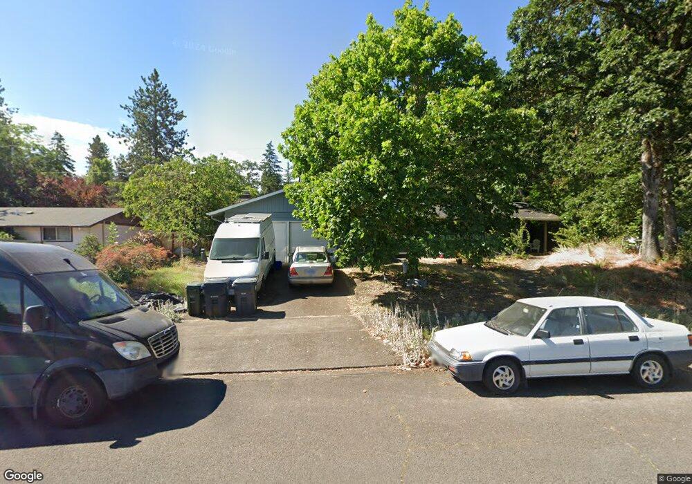
182 E 48th Ave Eugene, OR 97405
Southeast Eugene NeighborhoodEstimated Value: $459,913 - $497,000
3
Beds
2
Baths
1,309
Sq Ft
$361/Sq Ft
Est. Value
About This Home
This home is located at 182 E 48th Ave, Eugene, OR 97405 and is currently estimated at $472,728, approximately $361 per square foot. 182 E 48th Ave is a home located in Lane County with nearby schools including Edgewood Community Elementary School, Spencer Butte Middle School, and South Eugene High School.
Ownership History
Date
Name
Owned For
Owner Type
Purchase Details
Closed on
Apr 28, 2023
Sold by
Strand Sarah Liesje
Bought by
Sarah L Strand Family Trust
Current Estimated Value
Purchase Details
Closed on
May 12, 2006
Sold by
Dewart Clement and Dewart Hannelore
Bought by
Strand Gerrit and Strand Sarah L
Home Financials for this Owner
Home Financials are based on the most recent Mortgage that was taken out on this home.
Original Mortgage
$197,600
Interest Rate
6.41%
Mortgage Type
Fannie Mae Freddie Mac
Purchase Details
Closed on
Dec 3, 2003
Sold by
Kim John H and Kim Carrie J
Bought by
Dewart Clement and Dewart Hannelore
Home Financials for this Owner
Home Financials are based on the most recent Mortgage that was taken out on this home.
Original Mortgage
$99,500
Interest Rate
5.92%
Mortgage Type
Purchase Money Mortgage
Create a Home Valuation Report for This Property
The Home Valuation Report is an in-depth analysis detailing your home's value as well as a comparison with similar homes in the area
Home Values in the Area
Average Home Value in this Area
Purchase History
| Date | Buyer | Sale Price | Title Company |
|---|---|---|---|
| Sarah L Strand Family Trust | -- | None Listed On Document | |
| Strand Gerrit | $247,000 | Fidelity National Title Insu | |
| Dewart Clement | $169,500 | Cascade Title Co |
Source: Public Records
Mortgage History
| Date | Status | Borrower | Loan Amount |
|---|---|---|---|
| Previous Owner | Strand Gerrit | $197,600 | |
| Previous Owner | Dewart Clement | $99,500 |
Source: Public Records
Tax History
| Year | Tax Paid | Tax Assessment Tax Assessment Total Assessment is a certain percentage of the fair market value that is determined by local assessors to be the total taxable value of land and additions on the property. | Land | Improvement |
|---|---|---|---|---|
| 2025 | $4,405 | $226,093 | -- | -- |
| 2024 | $4,350 | $219,508 | -- | -- |
| 2023 | $4,350 | $213,115 | $0 | $0 |
| 2022 | $4,076 | $206,908 | $0 | $0 |
| 2021 | $3,828 | $200,882 | $0 | $0 |
| 2020 | $3,841 | $195,032 | $0 | $0 |
| 2019 | $3,710 | $189,352 | $0 | $0 |
| 2018 | $3,492 | $178,483 | $0 | $0 |
| 2017 | $3,336 | $178,483 | $0 | $0 |
| 2016 | $3,253 | $173,284 | $0 | $0 |
| 2015 | $3,146 | $168,237 | $0 | $0 |
| 2014 | $3,065 | $163,337 | $0 | $0 |
Source: Public Records
Map
Nearby Homes
- 4734 Brookwood St
- 36 Westbrook Way
- 21 Westbrook Way
- 17 Westbrook Way
- 395 E 46th Ave
- 4845 Brookwood St
- 278 Rockridge Ct
- 143 Treehill Loop Unit 143
- 152 Treehill Loop Unit 152
- 151 Treehill Loop Unit 151
- 422 Stonewood Dr Unit 422
- 223 Trailside Loop Unit 223
- 418 Stonewood Dr Unit 418
- 4425 Hilyard St
- 170 E 40th Ave
- 296 Woodridge Dr
- 202 Foxtail Dr
- 4680 W Hillside Dr
- 4427 Fox Hollow Rd Unit 7
- 434 E 39th Ave
Your Personal Tour Guide
Ask me questions while you tour the home.