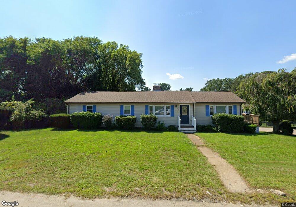
182 West St Milford, MA 01757
Estimated Value: $526,315 - $570,000
3
Beds
2
Baths
1,408
Sq Ft
$392/Sq Ft
Est. Value
About This Home
This home is located at 182 West St, Milford, MA 01757 and is currently estimated at $551,329, approximately $391 per square foot. 182 West St is a home located in Worcester County with nearby schools including Milford High School and Bethany Christian Academy.
Ownership History
Date
Name
Owned For
Owner Type
Purchase Details
Closed on
Mar 31, 1997
Sold by
Panorese Richard B and Panorese Patricia A
Bought by
Delisle John W and Delisle Diane L
Current Estimated Value
Create a Home Valuation Report for This Property
The Home Valuation Report is an in-depth analysis detailing your home's value as well as a comparison with similar homes in the area
Home Values in the Area
Average Home Value in this Area
Purchase History
| Date | Buyer | Sale Price | Title Company |
|---|---|---|---|
| Delisle John W | $138,500 | -- |
Source: Public Records
Mortgage History
| Date | Status | Borrower | Loan Amount |
|---|---|---|---|
| Open | Delisle John W | $246,250 | |
| Closed | Delisle John W | $139,445 | |
| Closed | Delisle John W | $72,657 |
Source: Public Records
Tax History Compared to Growth
Tax History
| Year | Tax Paid | Tax Assessment Tax Assessment Total Assessment is a certain percentage of the fair market value that is determined by local assessors to be the total taxable value of land and additions on the property. | Land | Improvement |
|---|---|---|---|---|
| 2025 | $5,847 | $456,800 | $154,100 | $302,700 |
| 2024 | $5,667 | $426,400 | $146,900 | $279,500 |
| 2023 | $5,422 | $375,200 | $123,700 | $251,500 |
| 2022 | $5,165 | $335,600 | $112,900 | $222,700 |
| 2021 | $4,920 | $307,900 | $112,900 | $195,000 |
| 2020 | $4,611 | $288,900 | $112,900 | $176,000 |
| 2019 | $4,491 | $271,500 | $112,900 | $158,600 |
| 2018 | $4,248 | $256,500 | $107,500 | $149,000 |
| 2017 | $4,023 | $239,600 | $107,500 | $132,100 |
| 2016 | $3,692 | $214,900 | $96,800 | $118,100 |
| 2015 | $3,735 | $212,800 | $93,200 | $119,600 |
Source: Public Records
Map
Nearby Homes
- 76 Jones Rd
- 175 West St
- 15 Tammie Rd
- 104 Jones Rd
- 101 Jones Rd Unit 101
- 0 West St
- 9 Hancock St
- 130 Dutcher St
- 8 Country Club Ln Unit B
- 7 Highland St
- 14 Country Club Ln Unit C
- 33 Country Club Ln Unit D
- 7 Madden Ave
- 59 Lawrence St
- 14 C Country Club Ln
- 8 Union St Unit 8
- 92 High St
- 94 Highland St
- 6 Correia Cir Unit B
- 95 High St