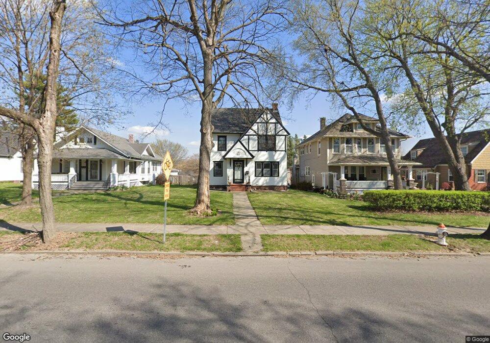
1821 Ashland Ave Saint Joseph, MO 64506
Ashland NeighborhoodEstimated Value: $240,000 - $297,000
4
Beds
2
Baths
1,202
Sq Ft
$219/Sq Ft
Est. Value
About This Home
This home is located at 1821 Ashland Ave, Saint Joseph, MO 64506 and is currently estimated at $263,265, approximately $219 per square foot. 1821 Ashland Ave is a home located in Buchanan County with nearby schools including Coleman Elementary School, Bode Middle School, and Central High School.
Ownership History
Date
Name
Owned For
Owner Type
Purchase Details
Closed on
Mar 4, 2010
Sold by
Smith Kevin J and Smith Laura L
Bought by
Clark Christopher
Current Estimated Value
Home Financials for this Owner
Home Financials are based on the most recent Mortgage that was taken out on this home.
Original Mortgage
$122,735
Outstanding Balance
$83,431
Interest Rate
5.5%
Mortgage Type
FHA
Estimated Equity
$179,834
Purchase Details
Closed on
May 13, 2009
Sold by
Co Household Finance Corporation Iii
Bought by
Smith Kevis J and Smith Laura L
Home Financials for this Owner
Home Financials are based on the most recent Mortgage that was taken out on this home.
Original Mortgage
$62,400
Interest Rate
4.84%
Mortgage Type
Future Advance Clause Open End Mortgage
Purchase Details
Closed on
Mar 12, 2009
Sold by
Twombly Michael D and Twombly Judy L
Bought by
Be Household Finance Corp Iii
Create a Home Valuation Report for This Property
The Home Valuation Report is an in-depth analysis detailing your home's value as well as a comparison with similar homes in the area
Home Values in the Area
Average Home Value in this Area
Purchase History
| Date | Buyer | Sale Price | Title Company |
|---|---|---|---|
| Clark Christopher | -- | First American Title | |
| Smith Kevis J | -- | First American Title | |
| Be Household Finance Corp Iii | $67,028 | None Available |
Source: Public Records
Mortgage History
| Date | Status | Borrower | Loan Amount |
|---|---|---|---|
| Open | Clark Christopher | $122,735 | |
| Previous Owner | Smith Kevis J | $62,400 |
Source: Public Records
Tax History Compared to Growth
Tax History
| Year | Tax Paid | Tax Assessment Tax Assessment Total Assessment is a certain percentage of the fair market value that is determined by local assessors to be the total taxable value of land and additions on the property. | Land | Improvement |
|---|---|---|---|---|
| 2024 | $1,682 | $23,430 | $4,750 | $18,680 |
| 2023 | $1,682 | $23,430 | $4,750 | $18,680 |
| 2022 | $1,553 | $23,430 | $4,750 | $18,680 |
| 2021 | $1,560 | $23,430 | $4,750 | $18,680 |
| 2020 | $1,550 | $23,430 | $4,750 | $18,680 |
| 2019 | $1,498 | $23,430 | $4,750 | $18,680 |
| 2018 | $1,353 | $23,430 | $4,750 | $18,680 |
| 2017 | $1,340 | $23,430 | $0 | $0 |
| 2015 | $0 | $23,430 | $0 | $0 |
| 2014 | $1,469 | $23,430 | $0 | $0 |
Source: Public Records
Map
Nearby Homes
- 2110 Ashland Ave
- 3025 Douglas St
- 3101 Douglas St
- 2808 Frederick Ave
- 920 N Noyes Blvd
- 2604 Frederick Ave
- 3030 Frederick Ave
- 2519 Forest Ave
- 2517 Jones St
- 1802 N 22nd St
- 833 N 25th St
- 840 N 25th St
- 2011 E Highland Ave
- 1321 N 20th St
- 2217 Jones St
- 2102 N 34th Terrace
- 2528 Union St
- 701 N 25th St
- 1912 Holman St
- 2211 Lovers Ln
- 1817 Ashland Ave
- 1831 Ashland Ave
- 1815 Ashland Ave
- 1835 Ashland Ave
- 1818 N 29th St
- 1822 N 29th St
- 1824 N 29th St
- 1824 Ashland Ave
- 1820 Ashland Ave
- 1828 Ashland Ave
- 1808 N 29th St
- 1801 Ashland Ave
- 2835 Douglas St
- 1814 Ashland Ave
- 1832 Ashland Ave
- 1901 Ashland Ave
- 1834 Ashland Ave
- 1808 Ashland Ave
- 1802 N 29th St
- 1903 Ashland Ave