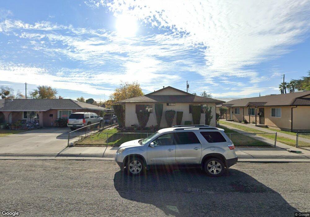
1821 Yolo St Corning, CA 96021
Estimated Value: $290,764 - $464,000
4
Beds
2
Baths
1,800
Sq Ft
$213/Sq Ft
Est. Value
About This Home
This home is located at 1821 Yolo St, Corning, CA 96021 and is currently estimated at $384,191, approximately $213 per square foot. 1821 Yolo St is a home located in Tehama County with nearby schools including Woodson Elementary School, Maywood Middle School, and Corning High School.
Ownership History
Date
Name
Owned For
Owner Type
Purchase Details
Closed on
Jun 6, 2024
Sold by
Fenske Charles C and Fami Julie
Bought by
Nerey Pablo and Nerey Araceli R
Current Estimated Value
Home Financials for this Owner
Home Financials are based on the most recent Mortgage that was taken out on this home.
Original Mortgage
$425,000
Interest Rate
7.17%
Mortgage Type
Seller Take Back
Purchase Details
Closed on
Jan 2, 2023
Sold by
Fenske Charles C and Fenske Julie A
Bought by
Charles C Fenske And Julie A Fenske Family Tr
Create a Home Valuation Report for This Property
The Home Valuation Report is an in-depth analysis detailing your home's value as well as a comparison with similar homes in the area
Purchase History
| Date | Buyer | Sale Price | Title Company |
|---|---|---|---|
| Nerey Pablo | $475,000 | Northern California Title | |
| Charles C Fenske And Julie A Fenske Family Tr | -- | -- |
Source: Public Records
Mortgage History
| Date | Status | Borrower | Loan Amount |
|---|---|---|---|
| Previous Owner | Nerey Pablo | $425,000 | |
| Previous Owner | Nerey Pablo | $425,000 |
Source: Public Records
Tax History
| Year | Tax Paid | Tax Assessment Tax Assessment Total Assessment is a certain percentage of the fair market value that is determined by local assessors to be the total taxable value of land and additions on the property. | Land | Improvement |
|---|---|---|---|---|
| 2025 | $1,295 | $242,250 | $45,900 | $196,350 |
| 2023 | $1,271 | $120,533 | $28,174 | $92,359 |
| 2022 | $1,253 | $118,171 | $27,622 | $90,549 |
| 2021 | $1,190 | $114,257 | $28,565 | $85,692 |
| 2020 | $1,057 | $99,354 | $24,839 | $74,515 |
| 2019 | $985 | $94,623 | $23,656 | $70,967 |
| 2018 | $915 | $86,020 | $21,505 | $64,515 |
| 2017 | $843 | $78,200 | $19,550 | $58,650 |
| 2016 | $802 | $78,200 | $19,550 | $58,650 |
| 2015 | -- | $78,200 | $19,550 | $58,650 |
| 2014 | $706 | $68,000 | $17,000 | $51,000 |
Source: Public Records
Map
Nearby Homes
- 611 Hoag St
- 611 Hoag St Unit 250
- 1001 Toomes Ave
- 1517 Tehama St
- 1890 North St
- 2018 Donnovan Ave
- 1409 North St
- 311 6th St
- 0 Toomes Ave Unit SN25272183
- 0 Toomes Ave Unit SN24222817
- 0 Toomes Ave Unit SN25176211
- 2067 Blossom Ave
- 1547 Blackburn Ave
- 1162 5th Ave
- 233 Rio Verde Ct
- 1121 Marin St
- 1311 6th Ave
- 4779 Houghton Ave
- 409 4th St
- 243 Edith Ave
- 1851 Yolo St
- 1811 Yolo St
- 749 Lincoln St
- lot-1 Lincoln St
- 1876 Yolo St
- 650 Fairview Ave
- 719 Fairview Ave
- 1760 Yolo St
- 650 Lincoln St
- 0 Lincoln Ave Unit CH14254388
- 2 Lincoln Ave
- 0 Lincoln Ave Unit SN20195949
- 1703 Yolo St
- 1839 Butte St
- 1869 Butte St
- 602 Fairview Ave
- 611 Lincoln St
- 519 Lincoln St
- 513 Lincoln St
- 710 Houghton Ave
Your Personal Tour Guide
Ask me questions while you tour the home.