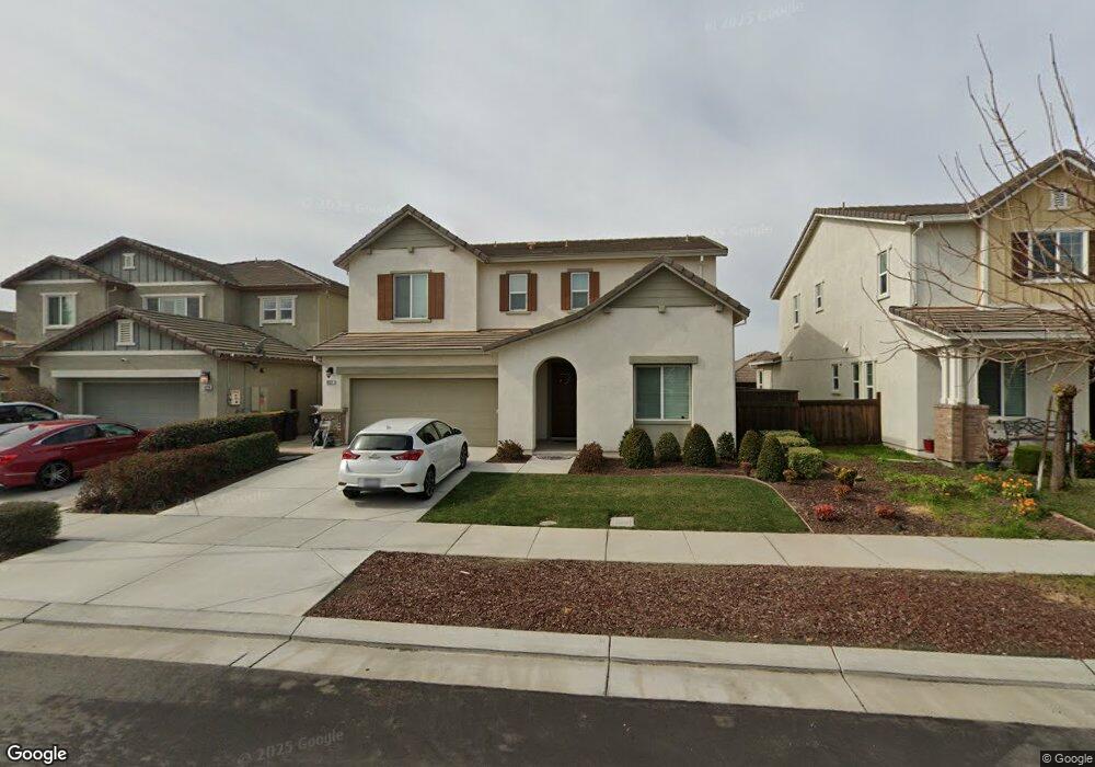
18281 Parkside Ct Lathrop, CA 95330
River Islands NeighborhoodEstimated Value: $679,996 - $745,000
4
Beds
3
Baths
2,560
Sq Ft
$282/Sq Ft
Est. Value
About This Home
This home is located at 18281 Parkside Ct, Lathrop, CA 95330 and is currently estimated at $721,749, approximately $281 per square foot. 18281 Parkside Ct is a home located in San Joaquin County with nearby schools including Banta Elementary School, Merrill F. West High School, and River Island School of Technology.
Ownership History
Date
Name
Owned For
Owner Type
Purchase Details
Closed on
Nov 19, 2014
Sold by
Brookfield Windrift Llc
Bought by
Pull Sridhar and Reddy Pavani Pulla
Current Estimated Value
Home Financials for this Owner
Home Financials are based on the most recent Mortgage that was taken out on this home.
Original Mortgage
$296,943
Outstanding Balance
$219,855
Interest Rate
3.12%
Mortgage Type
Adjustable Rate Mortgage/ARM
Estimated Equity
$501,895
Purchase Details
Closed on
Nov 5, 2014
Sold by
River Islands Development Llc
Bought by
River Island 68 Llc
Home Financials for this Owner
Home Financials are based on the most recent Mortgage that was taken out on this home.
Original Mortgage
$296,943
Outstanding Balance
$219,855
Interest Rate
3.12%
Mortgage Type
Adjustable Rate Mortgage/ARM
Estimated Equity
$501,895
Purchase Details
Closed on
Mar 31, 2014
Sold by
Brookfield Bay Area Holdings Llc
Bought by
Brookfield Windrift Llc
Create a Home Valuation Report for This Property
The Home Valuation Report is an in-depth analysis detailing your home's value as well as a comparison with similar homes in the area
Home Values in the Area
Average Home Value in this Area
Purchase History
| Date | Buyer | Sale Price | Title Company |
|---|---|---|---|
| Pull Sridhar | $396,000 | First American Title Company | |
| River Island 68 Llc | -- | First American Title | |
| Brookfield Windrift Llc | -- | First American Title Company |
Source: Public Records
Mortgage History
| Date | Status | Borrower | Loan Amount |
|---|---|---|---|
| Open | Pull Sridhar | $296,943 |
Source: Public Records
Tax History
| Year | Tax Paid | Tax Assessment Tax Assessment Total Assessment is a certain percentage of the fair market value that is determined by local assessors to be the total taxable value of land and additions on the property. | Land | Improvement |
|---|---|---|---|---|
| 2025 | $8,668 | $475,827 | $144,218 | $331,609 |
| 2024 | $8,446 | $466,498 | $141,391 | $325,107 |
| 2023 | $8,283 | $457,352 | $138,619 | $318,733 |
| 2022 | $8,118 | $448,385 | $135,901 | $312,484 |
| 2021 | $7,970 | $439,594 | $133,237 | $306,357 |
| 2020 | $7,863 | $435,087 | $131,871 | $303,216 |
| 2019 | $7,730 | $426,557 | $129,286 | $297,271 |
| 2018 | $7,588 | $418,194 | $126,751 | $291,443 |
| 2017 | $7,424 | $409,995 | $124,266 | $285,729 |
| 2016 | $7,283 | $401,958 | $121,830 | $280,128 |
| 2014 | $4,622 | $75,000 | $75,000 | $0 |
Source: Public Records
Map
Nearby Homes
- 1084 Navigator Dr
- 713 River Bend Dr
- 720 Channel Dr
- 1513 Marina Dr
- 1737 Cranbrook Ct
- 18632 Back Bay Dr
- 18732 Back Bay Dr
- 18744 Back Bay Dr
- 18756 Back Bay Dr
- 18499 Lewiston Dr
- 17753 Wheat Field St
- 1725 Marina Dr
- 1881 Hartford Ct
- 660 Bramblewood Ave
- 1703 Solano Ct
- 18462 Waterfront Way
- 17997 Reunion Ct
- 153 Soaring Dr
- 139 Soaring Dr
- 17709 Mckee Blvd
- 18263 Parkside Ct
- 18299 Parkside Ct
- 18272 Commercial St
- 18254 Commercial St
- 1040 Evergreen Ave
- 1043 Berkshire Dr
- 1057 Berkshire Dr
- 18227 Parkside Ct
- 18227 Parkside Dr
- 1071 Berkshire Dr
- 1009 Berkshire Ct
- 18236 Commercial St
- 1085 Berkshire Dr
- 1051 Evergreen Ave
- 18218 Commercial St
- 1020 Evergreen Ave
- 18209 Parkside Ct
- 18245 Parkside Ct
- 1001 Berkshire Ct
- 18200 Commercial St
Your Personal Tour Guide
Ask me questions while you tour the home.