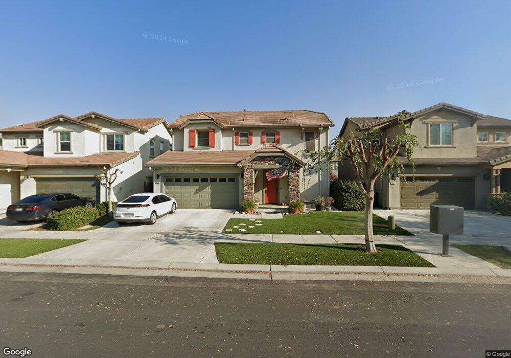
18296 Spence Ave Lathrop, CA 95330
River Islands NeighborhoodEstimated Value: $627,000 - $700,000
3
Beds
3
Baths
1,886
Sq Ft
$357/Sq Ft
Est. Value
About This Home
This home is located at 18296 Spence Ave, Lathrop, CA 95330 and is currently estimated at $672,991, approximately $356 per square foot. 18296 Spence Ave is a home with nearby schools including Banta Elementary School, Merrill F. West High School, and River Island School of Technology.
Ownership History
Date
Name
Owned For
Owner Type
Purchase Details
Closed on
Dec 11, 2015
Sold by
Cpg River Island Communities Llc
Bought by
Hogan Nathan W and Hogan Amy L
Current Estimated Value
Home Financials for this Owner
Home Financials are based on the most recent Mortgage that was taken out on this home.
Original Mortgage
$374,664
Outstanding Balance
$297,181
Interest Rate
3.96%
Mortgage Type
New Conventional
Estimated Equity
$375,810
Create a Home Valuation Report for This Property
The Home Valuation Report is an in-depth analysis detailing your home's value as well as a comparison with similar homes in the area
Home Values in the Area
Average Home Value in this Area
Purchase History
| Date | Buyer | Sale Price | Title Company |
|---|---|---|---|
| Hogan Nathan W | $394,500 | Old Republic Title Company | |
| Cpg River Island Communities Llc | -- | Old Republic Title Company |
Source: Public Records
Mortgage History
| Date | Status | Borrower | Loan Amount |
|---|---|---|---|
| Open | Hogan Nathan W | $374,664 |
Source: Public Records
Tax History
| Year | Tax Paid | Tax Assessment Tax Assessment Total Assessment is a certain percentage of the fair market value that is determined by local assessors to be the total taxable value of land and additions on the property. | Land | Improvement |
|---|---|---|---|---|
| 2025 | $8,682 | $488,924 | $145,071 | $343,853 |
| 2024 | $8,458 | $479,338 | $142,227 | $337,111 |
| 2023 | $8,389 | $448,738 | $142,227 | $306,511 |
| 2022 | $7,912 | $439,940 | $139,439 | $300,501 |
| 2021 | $7,767 | $431,314 | $136,705 | $294,609 |
| 2020 | $7,660 | $426,893 | $135,304 | $291,589 |
| 2019 | $7,529 | $418,523 | $132,651 | $285,872 |
| 2018 | $7,389 | $410,317 | $130,050 | $280,267 |
| 2017 | $7,227 | $402,272 | $127,500 | $274,772 |
| 2016 | $7,101 | $394,384 | $125,000 | $269,384 |
Source: Public Records
Map
Nearby Homes
- 1084 Navigator Dr
- 18200 Broadmoor Way
- 1737 Cranbrook Ct
- 1513 Marina Dr
- 18499 Lewiston Dr
- 713 River Bend Dr
- 1725 Marina Dr
- 720 Channel Dr
- 1881 Hartford Ct
- 1703 Solano Ct
- 17997 Reunion Ct
- 18632 Back Bay Dr
- 17753 Wheat Field St
- 18732 Back Bay Dr
- 18744 Back Bay Dr
- 17691 Brandeis Ct
- 18756 Back Bay Dr
- 17234 Hidden Pond Ct
- 660 Bramblewood Ave
- 1847 Outrigger Ln
- 18280 Spence Ave
- 18312 Spence Ave
- 18328 Spence Ave
- 18303 Dalton Dr
- 1264 Darrow Dr
- 1250 Darrow Dr
- 18287 Dalton Dr
- 18319 Dalton Dr
- 1236 Darrow Dr
- 18335 Dalton Dr
- 18289 Spence Ave
- 18305 Spence Ave
- 18344 Spence Ave
- 18273 Spence Ave
- 1222 Darrow Dr
- 18321 Spence Ave
- 18351 Dalton Ct
- 18257 Spence Ave
- 18367 Dalton Ct
- 1272 Brewster St
Your Personal Tour Guide
Ask me questions while you tour the home.