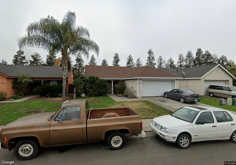
1831 Platte Rd Stockton, CA 95206
Seaport NeighborhoodEstimated Value: $325,000 - $434,000
3
Beds
2
Baths
1,476
Sq Ft
$268/Sq Ft
Est. Value
About This Home
This home is located at 1831 Platte Rd, Stockton, CA 95206 and is currently estimated at $395,221, approximately $267 per square foot. 1831 Platte Rd is a home located in San Joaquin County with nearby schools including San Joaquin Elementary School, John Marshall Elementary School, and Taylor Leadership Academy.
Ownership History
Date
Name
Owned For
Owner Type
Purchase Details
Closed on
Dec 11, 2011
Sold by
Aguilera Moises and Castaneda Elizabeth
Bought by
Fernandez Arturo
Current Estimated Value
Purchase Details
Closed on
Jul 24, 2003
Sold by
Castaneda Elizabeth and Aguilera Moises
Bought by
Aguilera Moises and Castaneda Elizabeth
Home Financials for this Owner
Home Financials are based on the most recent Mortgage that was taken out on this home.
Original Mortgage
$160,000
Interest Rate
5.13%
Mortgage Type
Purchase Money Mortgage
Purchase Details
Closed on
Jul 12, 2002
Sold by
Trimark San Joaquin Llc
Bought by
Aguilera Moises and Castaneda Elizabeth
Home Financials for this Owner
Home Financials are based on the most recent Mortgage that was taken out on this home.
Original Mortgage
$179,205
Interest Rate
6.6%
Mortgage Type
FHA
Create a Home Valuation Report for This Property
The Home Valuation Report is an in-depth analysis detailing your home's value as well as a comparison with similar homes in the area
Home Values in the Area
Average Home Value in this Area
Purchase History
| Date | Buyer | Sale Price | Title Company |
|---|---|---|---|
| Fernandez Arturo | $90,500 | Fidelity National Title Co | |
| Aguilera Moises | -- | Chicago Title Co | |
| Aguilera Moises | $182,000 | First American Title Co |
Source: Public Records
Mortgage History
| Date | Status | Borrower | Loan Amount |
|---|---|---|---|
| Previous Owner | Aguilera Moises | $160,000 | |
| Previous Owner | Aguilera Moises | $179,205 | |
| Closed | Aguilera Moises | $20,000 |
Source: Public Records
Tax History Compared to Growth
Tax History
| Year | Tax Paid | Tax Assessment Tax Assessment Total Assessment is a certain percentage of the fair market value that is determined by local assessors to be the total taxable value of land and additions on the property. | Land | Improvement |
|---|---|---|---|---|
| 2025 | $4,248 | $113,663 | $27,629 | $86,034 |
| 2024 | $1,925 | $111,436 | $27,088 | $84,348 |
| 2023 | $1,865 | $109,252 | $26,557 | $82,695 |
| 2022 | $3,209 | $107,111 | $26,037 | $81,074 |
| 2021 | $1,644 | $105,012 | $25,527 | $79,485 |
| 2020 | $1,669 | $103,936 | $25,266 | $78,670 |
| 2019 | $1,645 | $101,899 | $24,771 | $77,128 |
| 2018 | $2,287 | $99,902 | $24,286 | $75,616 |
| 2017 | $2,480 | $97,944 | $23,810 | $74,134 |
| 2016 | $2,014 | $96,024 | $23,343 | $72,681 |
| 2014 | $1,932 | $92,729 | $22,542 | $70,187 |
Source: Public Records
Map
Nearby Homes
- 1823 Fort Hall Place
- 2128 Green River Ln
- 2050 Grey Stone Dr
- 1409 Laguna Cir
- 1413 Laguna Cir
- 1156 Derrick Dr
- 2650 S Fresno Ave
- 864 W 5th St
- 1232 Denver Ave
- 2242 Port Trinity Cir
- 1661 W Hazelton Ave
- 309 S Los Angeles Ave
- 510- S Pershing Ave
- 348 S Los Angeles Ave
- 1765 W Sonora St
- 509 Howard St
- 520 W Jackson St
- 426 Howard St
- 1932 S Lincoln St
- 20 S Los Angeles Ave
- 1837 Platte Rd
- 1825 Platte Rd
- 1903 Platte Rd
- 1819 Platte Rd
- 1810 Rogue Dr
- 1911 Platte Rd
- 1813 Platte Rd
- 1821 Longdon Dr
- 1822 Rogue Dr
- 1908 Platte Rd
- 1917 Platte Rd
- 1833 Longdon Dr
- 1914 Platte Rd
- 1807 Platte Rd
- 1836 Rogue Dr
- 1925 Platte Rd
- 1922 Platte Rd
- 1913 Old Spanish Dr
- 1849 Longdon Dr
- 1806 Longdon Dr