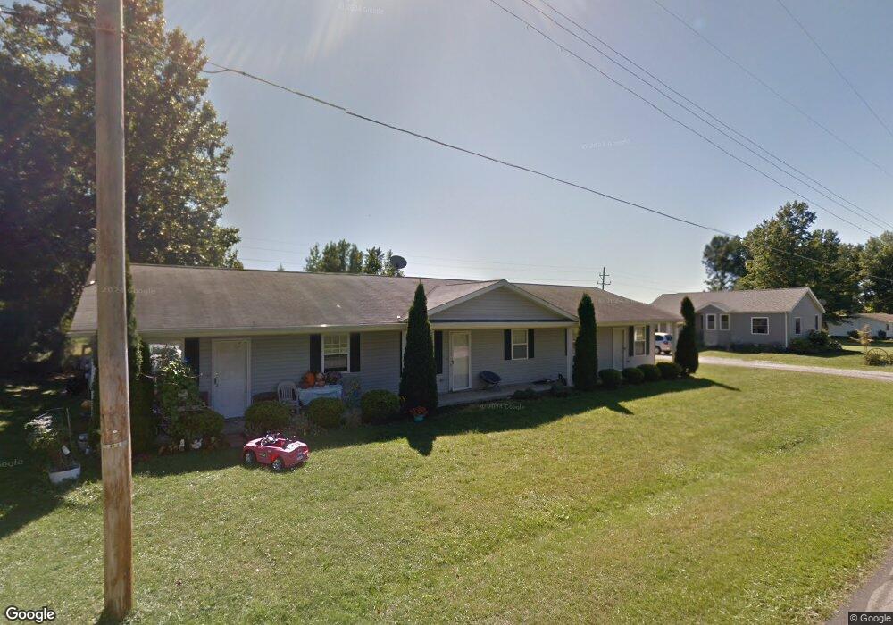
18343 Derr Ave Beloit, OH 44609
Estimated Value: $208,000 - $220,000
6
Beds
1
Bath
2,340
Sq Ft
$91/Sq Ft
Est. Value
About This Home
This home is located at 18343 Derr Ave, Beloit, OH 44609 and is currently estimated at $213,679, approximately $91 per square foot. 18343 Derr Ave is a home with nearby schools including West Branch Middle School, West Branch Early Learning Center, and West Branch High School.
Ownership History
Date
Name
Owned For
Owner Type
Purchase Details
Closed on
Mar 6, 2024
Sold by
C & D Apartments Llc
Bought by
Schaeffer Geoffrey and Schaeffer Andrea
Current Estimated Value
Home Financials for this Owner
Home Financials are based on the most recent Mortgage that was taken out on this home.
Original Mortgage
$146,250
Outstanding Balance
$143,104
Interest Rate
6.64%
Mortgage Type
New Conventional
Estimated Equity
$70,575
Create a Home Valuation Report for This Property
The Home Valuation Report is an in-depth analysis detailing your home's value as well as a comparison with similar homes in the area
Purchase History
| Date | Buyer | Sale Price | Title Company |
|---|---|---|---|
| Schaeffer Geoffrey | $195,000 | None Listed On Document | |
| Schaeffer Geoffrey | $195,000 | None Listed On Document |
Source: Public Records
Mortgage History
| Date | Status | Borrower | Loan Amount |
|---|---|---|---|
| Open | Schaeffer Geoffrey | $146,250 | |
| Closed | Schaeffer Geoffrey | $146,250 |
Source: Public Records
Tax History
| Year | Tax Paid | Tax Assessment Tax Assessment Total Assessment is a certain percentage of the fair market value that is determined by local assessors to be the total taxable value of land and additions on the property. | Land | Improvement |
|---|---|---|---|---|
| 2025 | $2,561 | $62,300 | $3,760 | $58,540 |
| 2024 | $2,561 | $62,300 | $3,760 | $58,540 |
| 2023 | $2,518 | $56,260 | $3,760 | $52,500 |
| 2022 | $2,697 | $56,260 | $3,760 | $52,500 |
| 2021 | $2,950 | $56,260 | $3,760 | $52,500 |
| 2020 | $2,959 | $56,260 | $3,760 | $52,500 |
| 2019 | $2,579 | $44,780 | $3,760 | $41,020 |
| 2018 | $2,569 | $44,780 | $3,760 | $41,020 |
| 2017 | $2,315 | $44,780 | $3,760 | $41,020 |
| 2016 | $2,064 | $36,060 | $3,470 | $32,590 |
| 2015 | $2,020 | $36,060 | $3,470 | $32,590 |
| 2014 | $2,028 | $36,060 | $3,470 | $32,590 |
| 2013 | $2,006 | $36,060 | $3,470 | $32,590 |
Source: Public Records
Map
Nearby Homes
- 18061 Derr Ave
- 11 Redwood St
- 18 Boxwood Dr
- 57 Redwood St
- 73 Redwood St
- 455 E Ohio Ave
- 18262 W Pine Lake Rd
- 345 E Indiana Ave
- 726 N 12th St
- 157 E Ohio Ave
- 17325 5th St
- 324 S 15th St
- 1005 N 13th St
- 0 16th St Unit 5159092
- 0 W Nevada Ave Unit 5181868
- 325 W Maryland Ave
- 425 N 17th St
- 154 W Nevada Ave Unit 154
- 406 W Ohio Ave
- 406 W Indiana Ave
Your Personal Tour Guide
Ask me questions while you tour the home.