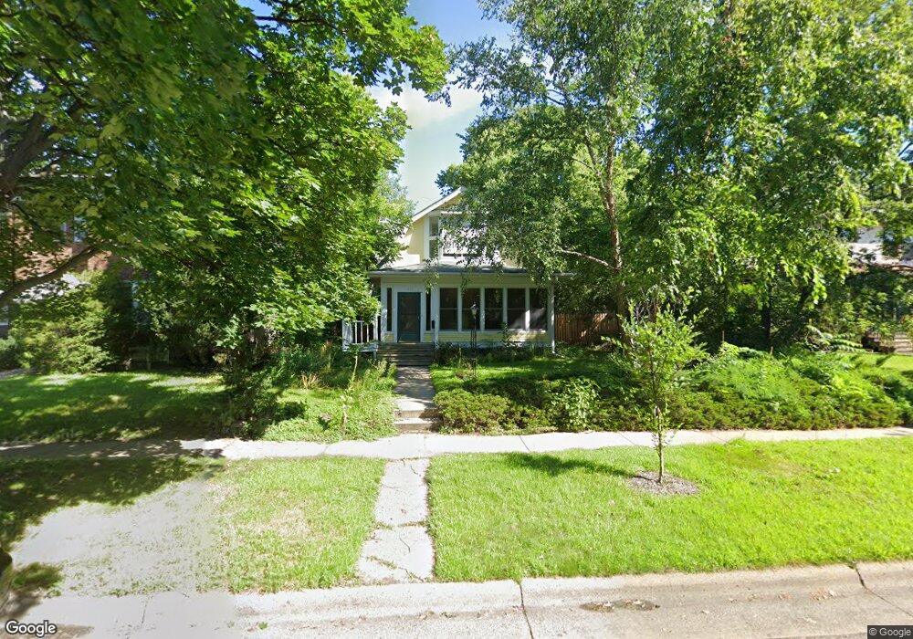
1837 Laurel Ave Saint Paul, MN 55104
Union Park NeighborhoodEstimated Value: $414,000 - $458,000
3
Beds
2
Baths
1,344
Sq Ft
$319/Sq Ft
Est. Value
About This Home
This home is located at 1837 Laurel Ave, Saint Paul, MN 55104 and is currently estimated at $429,179, approximately $319 per square foot. 1837 Laurel Ave is a home located in Ramsey County with nearby schools including Groveland Park Elementary School, Hidden River Middle School, and Central Senior High School.
Ownership History
Date
Name
Owned For
Owner Type
Purchase Details
Closed on
May 3, 2024
Sold by
Red Trees Properties Llc
Bought by
Motz Lambert W and Cole Holly
Current Estimated Value
Purchase Details
Closed on
Nov 18, 2016
Sold by
Tonrequist Sifgreid A
Bought by
Anthonyh Carol Christine
Home Financials for this Owner
Home Financials are based on the most recent Mortgage that was taken out on this home.
Original Mortgage
$227,500
Interest Rate
3.52%
Create a Home Valuation Report for This Property
The Home Valuation Report is an in-depth analysis detailing your home's value as well as a comparison with similar homes in the area
Home Values in the Area
Average Home Value in this Area
Purchase History
| Date | Buyer | Sale Price | Title Company |
|---|---|---|---|
| Motz Lambert W | $418,000 | Gibraltar Title | |
| Anthonyh Carol Christine | $334,848 | Titlesmart Inc |
Source: Public Records
Mortgage History
| Date | Status | Borrower | Loan Amount |
|---|---|---|---|
| Previous Owner | Anthonyh Carol Christine | $227,500 |
Source: Public Records
Tax History Compared to Growth
Tax History
| Year | Tax Paid | Tax Assessment Tax Assessment Total Assessment is a certain percentage of the fair market value that is determined by local assessors to be the total taxable value of land and additions on the property. | Land | Improvement |
|---|---|---|---|---|
| 2025 | $6,536 | $422,100 | $103,700 | $318,400 |
| 2023 | $6,536 | $415,200 | $103,700 | $311,500 |
| 2022 | $5,526 | $380,000 | $103,700 | $276,300 |
| 2021 | $4,944 | $336,300 | $103,700 | $232,600 |
| 2020 | $5,474 | $319,300 | $103,700 | $215,600 |
| 2019 | $5,066 | $322,200 | $103,700 | $218,500 |
| 2018 | $4,494 | $301,800 | $103,700 | $198,100 |
| 2017 | $4,276 | $281,100 | $103,700 | $177,400 |
| 2016 | $4,220 | $0 | $0 | $0 |
| 2015 | $4,024 | $265,400 | $103,700 | $161,700 |
| 2014 | $3,828 | $0 | $0 | $0 |
Source: Public Records
Map
Nearby Homes
- 1821 Selby Ave
- 1920 Laurel Ave
- 1836 Marshall Ave
- 1798 Marshall Ave
- 1917 Summit Ave Unit 2
- 1796 Iglehart Ave
- 1670 Ashland Ave
- 1935 Iglehart Ave
- 1671 Marshall Ave
- 1787 Carroll Ave
- 2023 Selby Ave
- 2034 Ashland Ave
- 1926 Lincoln Ave
- 1943 Carroll Ave
- 2009 Grand Ave
- 1826 Goodrich Ave
- 266 Fry St
- 2056 Summit Ave
- 2047 Grand Ave
- 389 Fairview Ave N
- 1841 Laurel Ave
- 1827 Laurel Ave
- 1832 Selby Ave
- 1830 Selby Ave
- 1840 Selby Ave
- 1842 Selby Ave
- 1824 Selby Ave
- 1848 Selby Ave
- 1822 Selby Ave
- 1834 Laurel Ave
- 1838 Laurel Ave
- 1830 Laurel Ave
- 1830 1830 Laurel Ave
- 1846 Laurel Ave
- 1853 Laurel Ave
- 1842 Laurel Ave
- 1826 Laurel Ave
- 1826 1826 Laurel Ave
- 1816 Hague Ave
- 1817 Laurel Ave