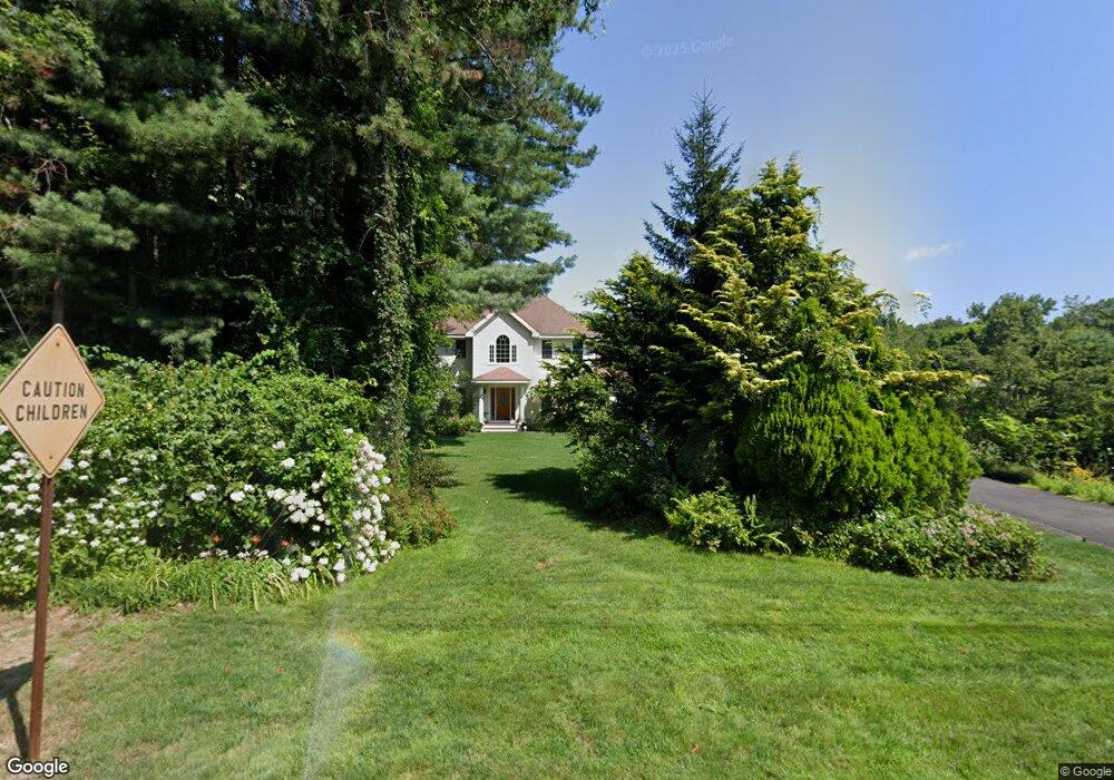
184 Plumtree Rd Sunderland, MA 01375
Estimated Value: $491,770 - $619,000
3
Beds
3
Baths
2,048
Sq Ft
$264/Sq Ft
Est. Value
About This Home
This home is located at 184 Plumtree Rd, Sunderland, MA 01375 and is currently estimated at $539,693, approximately $263 per square foot. 184 Plumtree Rd is a home located in Franklin County with nearby schools including Sunderland Elementary School and Frontier Regional School.
Ownership History
Date
Name
Owned For
Owner Type
Purchase Details
Closed on
May 11, 1998
Sold by
John A Mokrzecky Rt and Mokrzecky
Bought by
Mata Nicholas D and Mata Ofelia T
Current Estimated Value
Home Financials for this Owner
Home Financials are based on the most recent Mortgage that was taken out on this home.
Original Mortgage
$30,000
Interest Rate
7.05%
Mortgage Type
Purchase Money Mortgage
Create a Home Valuation Report for This Property
The Home Valuation Report is an in-depth analysis detailing your home's value as well as a comparison with similar homes in the area
Home Values in the Area
Average Home Value in this Area
Purchase History
| Date | Buyer | Sale Price | Title Company |
|---|---|---|---|
| Mata Nicholas D | $49,900 | -- |
Source: Public Records
Mortgage History
| Date | Status | Borrower | Loan Amount |
|---|---|---|---|
| Open | Mata Nicholas D | $30,000 | |
| Open | Mata Nicholas D | $170,006 | |
| Closed | Mata Nicholas D | $30,000 |
Source: Public Records
Tax History
| Year | Tax Paid | Tax Assessment Tax Assessment Total Assessment is a certain percentage of the fair market value that is determined by local assessors to be the total taxable value of land and additions on the property. | Land | Improvement |
|---|---|---|---|---|
| 2025 | $61 | $471,900 | $125,900 | $346,000 |
| 2024 | $6,201 | $471,900 | $125,900 | $346,000 |
| 2023 | $5,692 | $444,700 | $114,400 | $330,300 |
| 2022 | $5,765 | $392,200 | $98,100 | $294,100 |
| 2021 | $5,638 | $364,000 | $90,900 | $273,100 |
| 2020 | $3,843 | $363,200 | $90,900 | $272,300 |
| 2019 | $3,759 | $354,300 | $88,300 | $266,000 |
| 2018 | $5,120 | $341,300 | $84,800 | $256,500 |
| 2017 | $4,850 | $338,200 | $84,800 | $253,400 |
| 2016 | $4,961 | $338,400 | $83,100 | $255,300 |
| 2015 | $4,843 | $338,400 | $83,100 | $255,300 |
| 2014 | $4,731 | $338,400 | $83,100 | $255,300 |
Source: Public Records
Map
Nearby Homes
- 38 S Plain Rd
- 6 Shattuck Rd
- 3 Frost Ln
- 10 Depot Rd
- 113 Juggler Meadow Rd
- Lot 3A-3 Leverett Rd
- 167 Rolling Ridge Rd
- 12 Teawaddle Ln
- 39 Valley Ln
- Lot 3 Roosevelt St
- 100 Depot Rd
- 0 Henry St
- 185 Cherry Ln
- Lot A Kingman Rd
- 15 Crestview Dr
- 59 N Hatfield Rd
- 11 Overlook Dr
- 26 Falls Rd
- 7 Christian Ln
- 0 Straits Rd
- 188 Plumtree Rd
- 167 Plumtree Rd
- 175 Plumtree Rd
- 168 Plumtree Rd
- 10 Pine Ct
- 179 Plumtree Rd
- 139 Plumtree Rd
- 0 Plumtree Rd Toye 116 Unit 30285389
- 159 Plumtree Rd
- 186 Plumtree Rd
- 5 Pine Ct
- 158 Plumtree Rd
- 187 Plumtree Rd
- 9 Pine Ct
- 147 Plumtree Rd
- 189 Plumtree Rd
- 196 Plumtree Rd
- 121 N Plain Rd
- 152 Plumtree Rd
- 19 Pine Ct
Your Personal Tour Guide
Ask me questions while you tour the home.