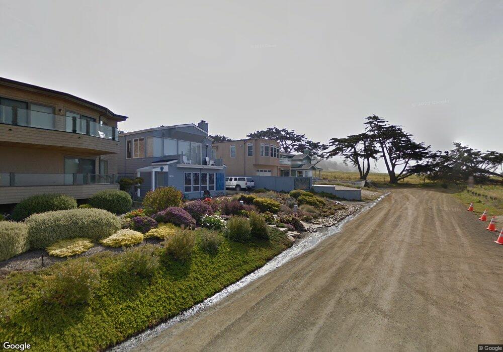
1840 Windsor Blvd Cambria, CA 93428
Cambria NeighborhoodEstimated Value: $1,565,000 - $1,786,000
2
Beds
3
Baths
2,191
Sq Ft
$741/Sq Ft
Est. Value
About This Home
This home is located at 1840 Windsor Blvd, Cambria, CA 93428 and is currently estimated at $1,623,885, approximately $741 per square foot. 1840 Windsor Blvd is a home located in San Luis Obispo County with nearby schools including Cambria Grammar, Santa Lucia Middle School, and Coast Union High School.
Ownership History
Date
Name
Owned For
Owner Type
Purchase Details
Closed on
Jan 28, 2021
Sold by
Handley Gary Charles
Bought by
Freeborn Lucas B and Freeborn Aubrey L
Current Estimated Value
Home Financials for this Owner
Home Financials are based on the most recent Mortgage that was taken out on this home.
Original Mortgage
$701,500
Interest Rate
2.73%
Mortgage Type
New Conventional
Create a Home Valuation Report for This Property
The Home Valuation Report is an in-depth analysis detailing your home's value as well as a comparison with similar homes in the area
Home Values in the Area
Average Home Value in this Area
Purchase History
| Date | Buyer | Sale Price | Title Company |
|---|---|---|---|
| Freeborn Lucas B | $1,100,000 | Fidelity National Title Co |
Source: Public Records
Mortgage History
| Date | Status | Borrower | Loan Amount |
|---|---|---|---|
| Previous Owner | Freeborn Lucas B | $701,500 |
Source: Public Records
Tax History Compared to Growth
Tax History
| Year | Tax Paid | Tax Assessment Tax Assessment Total Assessment is a certain percentage of the fair market value that is determined by local assessors to be the total taxable value of land and additions on the property. | Land | Improvement |
|---|---|---|---|---|
| 2025 | $12,614 | $1,190,674 | $649,458 | $541,216 |
| 2024 | $12,401 | $1,167,328 | $636,724 | $530,604 |
| 2023 | $12,401 | $1,144,440 | $624,240 | $520,200 |
| 2022 | $12,160 | $1,122,000 | $612,000 | $510,000 |
| 2021 | $6,698 | $571,863 | $155,240 | $416,623 |
| 2020 | $6,305 | $566,001 | $153,649 | $412,352 |
| 2019 | $6,184 | $554,904 | $150,637 | $404,267 |
| 2018 | $6,063 | $544,025 | $147,684 | $396,341 |
| 2017 | $5,941 | $533,359 | $144,789 | $388,570 |
| 2016 | $5,825 | $522,901 | $141,950 | $380,951 |
| 2015 | $5,743 | $515,047 | $139,818 | $375,229 |
| 2014 | $5,544 | $504,959 | $137,080 | $367,879 |
Source: Public Records
Map
Nearby Homes
- 1980 Sherwood Dr
- 605 Ardath Dr
- 395 Ivar St
- 305 Ivar St
- 0 Oxford Ave
- 1970 Emmons Rd
- 379 Harvey St
- 1799 Saint Thomas Ave
- 740 Ardath Dr
- 0 Madison Unit SC25216306
- 2103 Benson Ave
- 396 Castle St
- 2431 Sherwood Dr
- 0 Orlando Dr Unit SC25173323
- 798 Drake St
- 1606 Saint James Rd
- 2591 Windsor Blvd
- 0 Kenneth Dr Unit SC24012358
- 0 Kenneth Dr Unit SC25087439
- 2585 Sherwood Dr
- 1870 Windsor Blvd
- 1820 Windsor Blvd
- 330 Lampton St
- 1845 Laurel Place
- 1815 Laurel Place
- 1875 Laurel Place
- 1893 Laurel Place
- 309 Lampton St
- 1908 Windsor Blvd
- 319 Lampton St
- 329 Lampton St
- 295 Lampton St
- 302 Kerwin St
- 345 Lampton St
- 1850 Laurel Place
- 334 Kerwin St
- 1870 Laurel Place
- 1810 Laurel Place
- 249 Lampton St
- 360 Lampton St