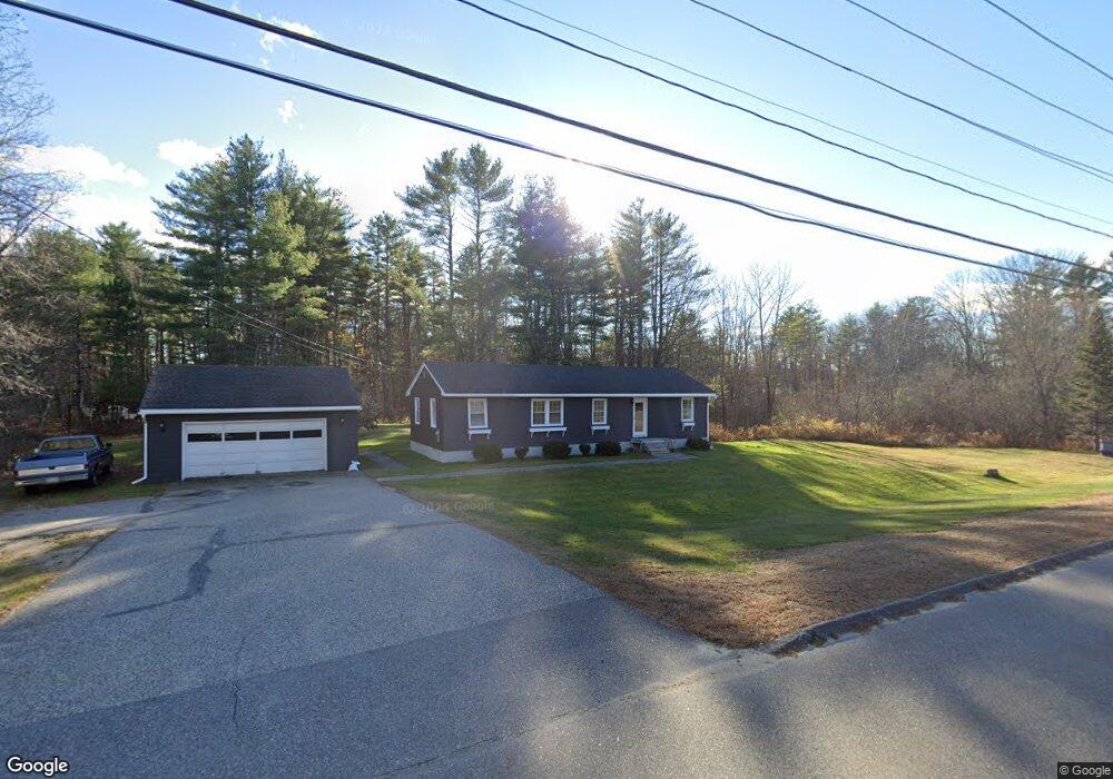
185 New Portland Rd Gorham, ME 04038
Estimated Value: $350,781 - $454,000
3
Beds
1
Bath
1,092
Sq Ft
$361/Sq Ft
Est. Value
About This Home
This home is located at 185 New Portland Rd, Gorham, ME 04038 and is currently estimated at $394,445, approximately $361 per square foot. 185 New Portland Rd is a home located in Cumberland County with nearby schools including Narragansett Elementary School, Gorham Middle School, and Gorham High School.
Ownership History
Date
Name
Owned For
Owner Type
Purchase Details
Closed on
Nov 28, 2005
Sold by
Petersen Lena and Petersen Janice
Bought by
Cameron Matthew W
Current Estimated Value
Home Financials for this Owner
Home Financials are based on the most recent Mortgage that was taken out on this home.
Original Mortgage
$168,480
Outstanding Balance
$92,973
Interest Rate
6.06%
Mortgage Type
Purchase Money Mortgage
Estimated Equity
$301,472
Purchase Details
Closed on
Mar 30, 2005
Sold by
Petersen Lena
Bought by
Petersen Lena and Petersen Janice
Create a Home Valuation Report for This Property
The Home Valuation Report is an in-depth analysis detailing your home's value as well as a comparison with similar homes in the area
Home Values in the Area
Average Home Value in this Area
Purchase History
| Date | Buyer | Sale Price | Title Company |
|---|---|---|---|
| Cameron Matthew W | -- | -- | |
| Petersen Lena | -- | -- |
Source: Public Records
Mortgage History
| Date | Status | Borrower | Loan Amount |
|---|---|---|---|
| Open | Cameron Matthew W | $168,480 |
Source: Public Records
Tax History Compared to Growth
Tax History
| Year | Tax Paid | Tax Assessment Tax Assessment Total Assessment is a certain percentage of the fair market value that is determined by local assessors to be the total taxable value of land and additions on the property. | Land | Improvement |
|---|---|---|---|---|
| 2024 | $3,116 | $212,000 | $91,300 | $120,700 |
| 2023 | $2,915 | $212,000 | $91,300 | $120,700 |
| 2022 | $2,724 | $212,000 | $91,300 | $120,700 |
| 2021 | $2,642 | $136,200 | $70,600 | $65,600 |
| 2020 | $2,588 | $136,200 | $70,600 | $65,600 |
| 2019 | $2,581 | $136,200 | $70,600 | $65,600 |
| 2018 | $2,519 | $136,200 | $70,600 | $65,600 |
| 2017 | $2,329 | $136,200 | $70,600 | $65,600 |
| 2016 | $2,315 | $136,200 | $70,600 | $65,600 |
| 2015 | $2,220 | $136,200 | $70,600 | $65,600 |
| 2014 | $2,196 | $126,200 | $64,800 | $61,400 |
| 2013 | $2,183 | $126,200 | $64,800 | $61,400 |
Source: Public Records
Map
Nearby Homes
- 197 New Portland Rd
- 29 Joseph Dr
- 40 Tink Dr
- 33 Tink Dr
- Lot 10 Newton Dr
- 49 Lochwood Dr
- 53 Lochwood Dr
- 0 Cobb Rd
- 17 Baxter Ln Unit 4
- 84 Johnson Rd
- 40 Highland Ave
- 15 Natalee Dr Unit 2
- 9 Ridgeway Ave
- 8 Fae Ln
- 8 Fae Ln Unit 1
- 316 New Portland Rd
- Lot 18 Vista Dr
- 157 South St
- 23 Cottage Ct
- 23 Cottage Ct Unit 6
- 186 New Portland Rd
- 191 New Portland Rd
- 177 New Portland Rd
- 190 New Portland Rd
- 198 New Portland Rd
- 19 Veranda Dr
- 180 New Portland Rd
- 8 Veranda Dr
- 9 Juneau Way
- 4 Veranda Dr
- 37 Black Brook Rd
- 27 Black Brook Rd
- 17 Black Brook Rd
- 43 Black Brook Rd
- 35 Libby Ave
- 13 Veranda Dr
- 18 Juneau Way
- 5 Veranda Dr
- 11 Libby Ave
- 24 Juneau Way