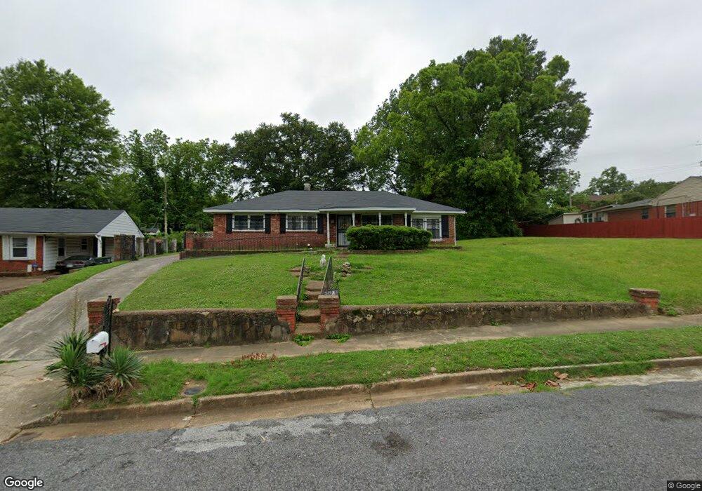
1851 Patrick Rd Memphis, TN 38114
Southeast Memphis NeighborhoodEstimated Value: $102,000 - $159,000
4
Beds
2
Baths
2,396
Sq Ft
$54/Sq Ft
Est. Value
About This Home
This home is located at 1851 Patrick Rd, Memphis, TN 38114 and is currently estimated at $130,280, approximately $54 per square foot. 1851 Patrick Rd is a home located in Shelby County with nearby schools including Hamilton High School, Believe Memphis Academy Charter School, and Memphis College Preparatory.
Ownership History
Date
Name
Owned For
Owner Type
Purchase Details
Closed on
Jan 6, 2010
Sold by
Fannie Mae
Bought by
Moss Daphnie
Current Estimated Value
Purchase Details
Closed on
Apr 16, 2009
Sold by
Ross Catherine V and Ross Andrew
Bought by
Federal National Mortgage Association
Purchase Details
Closed on
May 2, 2008
Sold by
Wesley Richard
Bought by
Ross Catherine
Home Financials for this Owner
Home Financials are based on the most recent Mortgage that was taken out on this home.
Original Mortgage
$92,150
Interest Rate
5.84%
Mortgage Type
Purchase Money Mortgage
Purchase Details
Closed on
Aug 31, 2007
Sold by
Lewis Barbara A and Hollingshed Versie
Bought by
Wesley Richard
Create a Home Valuation Report for This Property
The Home Valuation Report is an in-depth analysis detailing your home's value as well as a comparison with similar homes in the area
Home Values in the Area
Average Home Value in this Area
Purchase History
| Date | Buyer | Sale Price | Title Company |
|---|---|---|---|
| Moss Daphnie | $22,000 | None Available | |
| Federal National Mortgage Association | $80,529 | None Available | |
| Ross Catherine | $95,000 | C & T Title & Escrow | |
| Wesley Richard | $38,500 | C & T Title & Escrow |
Source: Public Records
Mortgage History
| Date | Status | Borrower | Loan Amount |
|---|---|---|---|
| Previous Owner | Ross Catherine | $92,150 |
Source: Public Records
Tax History
| Year | Tax Paid | Tax Assessment Tax Assessment Total Assessment is a certain percentage of the fair market value that is determined by local assessors to be the total taxable value of land and additions on the property. | Land | Improvement |
|---|---|---|---|---|
| 2025 | $719 | $28,625 | $2,750 | $25,875 |
| 2024 | $719 | $21,200 | $1,350 | $19,850 |
| 2023 | $1,291 | $21,200 | $1,350 | $19,850 |
| 2022 | $1,291 | $21,200 | $1,350 | $19,850 |
| 2021 | $1,307 | $21,200 | $1,350 | $19,850 |
| 2020 | $1,444 | $19,925 | $1,350 | $18,575 |
| 2019 | $1,444 | $19,925 | $1,350 | $18,575 |
| 2018 | $1,444 | $19,925 | $1,350 | $18,575 |
| 2017 | $819 | $19,925 | $1,350 | $18,575 |
| 2016 | $897 | $20,525 | $0 | $0 |
| 2014 | $897 | $20,525 | $0 | $0 |
Source: Public Records
Map
Nearby Homes
- 1852 Patrick Rd
- 2416 Verdun St
- 2417 Sherrie Cove
- 1932 E Alcy Rd
- 2442 Manchester Rd
- 2352 Verdun Cove
- 2428 Rozelle St
- 2525 Rozelle St
- 2416 Rozelle St
- 0 Bridgeport Dr Unit 10214295
- 2944 Millbranch Rd
- 1540 Clementine Rd
- 1493 E Alcy Rd
- 1490 Lockhaven Ave
- 2196 Ketchum Rd
- 2601 Darlene St
- 0 W Hollyford Rd
- 0 Carlton Rd
- 2392 W Hollyford Rd
- 2394 Warren St
- 1859 Patrick Rd
- 1856 Wendy Dr
- 1839 Patrick Rd
- 1848 Wendy Dr
- 1865 Patrick Rd
- 1866 Wendy Dr
- 1840 Wendy Dr
- 2520 Sherrie St
- 1874 Wendy Dr
- 1846 Patrick Rd
- 1862 Patrick Rd
- 1871 Patrick Rd
- 1840 Patrick Rd
- 2538 Sherrie St
- 1868 Patrick Rd
- 1878 Wendy Dr
- 1857 Wendy Dr
- 1830 Patrick Rd
- 1849 Wendy Dr
- 1877 Patrick Rd
Your Personal Tour Guide
Ask me questions while you tour the home.