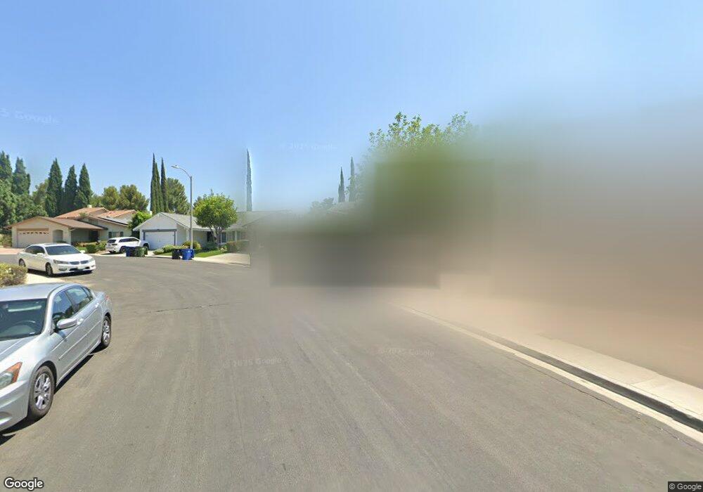
18510 Dylan St Porter Ranch, CA 91326
Porter Ranch NeighborhoodEstimated Value: $1,218,000 - $1,324,000
5
Beds
4
Baths
2,474
Sq Ft
$510/Sq Ft
Est. Value
About This Home
This home is located at 18510 Dylan St, Porter Ranch, CA 91326 and is currently estimated at $1,260,885, approximately $509 per square foot. 18510 Dylan St is a home located in Los Angeles County with nearby schools including Robert Frost Middle School, Northridge Academy High, and Valley Academy of Arts & Sciences.
Ownership History
Date
Name
Owned For
Owner Type
Purchase Details
Closed on
Feb 21, 2025
Sold by
Azamian Kathleen Smyth
Bought by
Kathleen S Azamian Trust and Azamian
Current Estimated Value
Purchase Details
Closed on
Jan 18, 2002
Sold by
Azamian Bizhan and Azamian Kathleen Smyth
Bought by
Azamian Bizhan and Azamian Kathleen Smythe
Home Financials for this Owner
Home Financials are based on the most recent Mortgage that was taken out on this home.
Original Mortgage
$250,000
Interest Rate
7.11%
Mortgage Type
Credit Line Revolving
Create a Home Valuation Report for This Property
The Home Valuation Report is an in-depth analysis detailing your home's value as well as a comparison with similar homes in the area
Home Values in the Area
Average Home Value in this Area
Purchase History
| Date | Buyer | Sale Price | Title Company |
|---|---|---|---|
| Kathleen S Azamian Trust | -- | None Listed On Document | |
| Azamian Bizhan | -- | American Title |
Source: Public Records
Mortgage History
| Date | Status | Borrower | Loan Amount |
|---|---|---|---|
| Previous Owner | Azamian Bizhan | $250,000 |
Source: Public Records
Tax History
| Year | Tax Paid | Tax Assessment Tax Assessment Total Assessment is a certain percentage of the fair market value that is determined by local assessors to be the total taxable value of land and additions on the property. | Land | Improvement |
|---|---|---|---|---|
| 2025 | $4,804 | $373,081 | $66,565 | $306,516 |
| 2024 | $4,804 | $365,766 | $65,260 | $300,506 |
| 2023 | $4,717 | $358,595 | $63,981 | $294,614 |
| 2022 | $4,509 | $351,565 | $62,727 | $288,838 |
| 2021 | $4,443 | $344,673 | $61,498 | $283,175 |
| 2019 | $4,316 | $334,452 | $59,675 | $274,777 |
| 2018 | $4,186 | $327,895 | $58,505 | $269,390 |
| 2016 | $3,980 | $315,164 | $56,234 | $258,930 |
| 2015 | $3,924 | $310,431 | $55,390 | $255,041 |
| 2014 | $3,945 | $304,351 | $54,305 | $250,046 |
Source: Public Records
Map
Nearby Homes
- 11369 Darby Ave
- 11413 Etiwanda Ave
- 11348 Reseda Blvd
- 18630 Nau Ave
- 11461 Amigo Ave
- 18525 Entrada Ct
- 11300 Dulcet Ave
- 11753 Castillo Ln
- 18772 Algiers St
- 18371 Lahey St
- 18157 Donmetz St
- 18720 San Fernando Mission Blvd
- 11830 Killimore Ave
- 11861 Darby Ave
- 11017 Baird Ave
- 11215 Wilbur Ave
- 18938 Granada Cir
- 11531 Vimy Rd
- 11050 Lindley Ave
- 17823 Rinaldi St
- 18506 Dylan St
- 18512 Dylan St
- 18500 Dylan St
- 18516 Dylan St
- 18522 Dylan St
- 18501 Dylan St
- 11446 Etiwanda Ave
- 11445 Etiwanda Ave
- 11444 Etiwanda Ave
- 18528 Dylan St
- 18501 Asuncion St
- 18521 Dylan St
- 18509 Asuncion St
- 18515 Asuncion St
- 11500 Brymer Ln
- 18527 Dylan St
- 11501 Brymer Ln
- 11443 Etiwanda Ave
- 11442 Etiwanda Ave
- 18418 Hastings Way
Your Personal Tour Guide
Ask me questions while you tour the home.