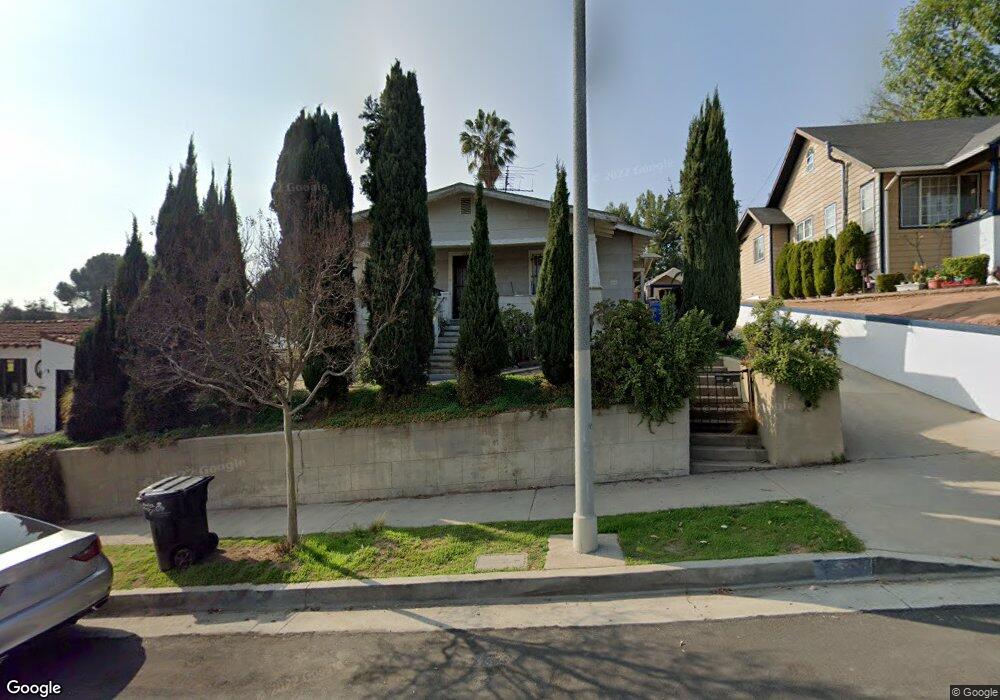
1867 North Avenue 51 Los Angeles, CA 90042
Eagle Rock NeighborhoodEstimated Value: $1,129,000 - $1,255,668
3
Beds
2
Baths
1,686
Sq Ft
$709/Sq Ft
Est. Value
About This Home
This home is located at 1867 North Avenue 51, Los Angeles, CA 90042 and is currently estimated at $1,195,167, approximately $708 per square foot. 1867 North Avenue 51 is a home located in Los Angeles County with nearby schools including Buchanan Street Elementary, Benjamin Franklin High School, and Luther Burbank Middle School.
Ownership History
Date
Name
Owned For
Owner Type
Purchase Details
Closed on
Mar 20, 2000
Sold by
Inashima John H
Bought by
J J Shima Ltd Partnership
Current Estimated Value
Home Financials for this Owner
Home Financials are based on the most recent Mortgage that was taken out on this home.
Original Mortgage
$85,000
Outstanding Balance
$28,642
Interest Rate
8.21%
Mortgage Type
Purchase Money Mortgage
Estimated Equity
$1,166,525
Create a Home Valuation Report for This Property
The Home Valuation Report is an in-depth analysis detailing your home's value as well as a comparison with similar homes in the area
Home Values in the Area
Average Home Value in this Area
Purchase History
| Date | Buyer | Sale Price | Title Company |
|---|---|---|---|
| J J Shima Ltd Partnership | -- | -- |
Source: Public Records
Mortgage History
| Date | Status | Borrower | Loan Amount |
|---|---|---|---|
| Open | J J Shima Ltd Partnership | $85,000 |
Source: Public Records
Tax History Compared to Growth
Tax History
| Year | Tax Paid | Tax Assessment Tax Assessment Total Assessment is a certain percentage of the fair market value that is determined by local assessors to be the total taxable value of land and additions on the property. | Land | Improvement |
|---|---|---|---|---|
| 2025 | $2,568 | $184,801 | $144,200 | $40,601 |
| 2024 | $2,568 | $181,178 | $141,373 | $39,805 |
| 2023 | $2,525 | $177,626 | $138,601 | $39,025 |
| 2022 | $2,418 | $174,144 | $135,884 | $38,260 |
| 2021 | $2,383 | $170,730 | $133,220 | $37,510 |
| 2019 | $2,318 | $165,668 | $129,269 | $36,399 |
| 2018 | $2,206 | $162,421 | $126,735 | $35,686 |
| 2016 | $2,095 | $156,115 | $121,814 | $34,301 |
| 2015 | $2,068 | $153,771 | $119,985 | $33,786 |
| 2014 | $2,089 | $150,760 | $117,635 | $33,125 |
Source: Public Records
Map
Nearby Homes
- 1902 N Avenue 51
- 1915 N Avenue 52
- 1932 Phillips Way
- 1942 Phillips Way
- 1938 Phillips Way
- 5240 Barker Dr
- 1632 Oak Grove Dr
- 1813 N Avenue 53
- 5117 Stratford Rd
- 1333 Wildwood Dr
- 1813 N Avenue 55
- 1584 Oak Grove Place
- 5252 Range View Ave
- 4631 4637 Loleta Place
- 1359 Wildwood Dr
- 1567 Fair Park Ave
- 1370 N Avenue 57
- 1321 Wildwood Dr
- 5125 Buchanan St
- 1815 Nolden St
- 1871 North Avenue 51
- 1863 N Avenue 51
- 1863 North Avenue 51
- 1877 North Avenue 51
- 1877 N Avenue 51
- 1857 North Avenue 51
- 1869 1/2 N Avenue 51
- 1869 N Avenue 51
- 1869 N Avenue 51 Unit 1/2
- 1869 N Avenue 51
- 1853 North Avenue 51
- 5059 Eaton St
- 1883 North Avenue 51
- 5065 Eaton St
- 1887 N Avenue 51
- 1887 North Avenue 51
- 5055 Eaton St
- 1866 N Avenue 51
- 1866 North Avenue 51
- 1870 North Avenue 51