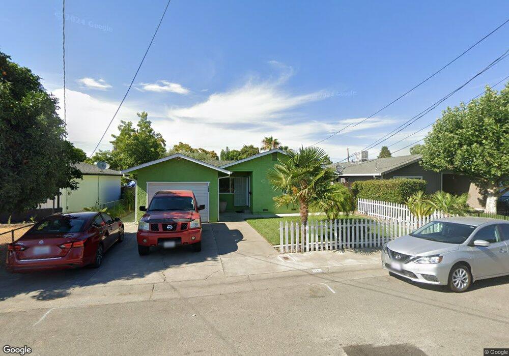
1868 Scott Ave Corning, CA 96021
Estimated Value: $269,000 - $272,000
3
Beds
2
Baths
1,148
Sq Ft
$235/Sq Ft
Est. Value
About This Home
This home is located at 1868 Scott Ave, Corning, CA 96021 and is currently estimated at $270,346, approximately $235 per square foot. 1868 Scott Ave is a home located in Tehama County with nearby schools including West Street Elementary School, Maywood Middle School, and Corning High School.
Ownership History
Date
Name
Owned For
Owner Type
Purchase Details
Closed on
Nov 4, 2013
Sold by
Marsili David L and Marslli Tedi L
Bought by
Deluna Gabino Marquez and Mendoza Delia
Current Estimated Value
Home Financials for this Owner
Home Financials are based on the most recent Mortgage that was taken out on this home.
Original Mortgage
$132,653
Outstanding Balance
$99,083
Interest Rate
4.27%
Mortgage Type
New Conventional
Estimated Equity
$171,263
Purchase Details
Closed on
Sep 21, 2011
Sold by
Deutsche Bank National Trust Company
Bought by
Marsili David L and Marsili Tedi L
Purchase Details
Closed on
Jan 25, 2011
Sold by
Smith Teresa E and Bussard Leroy G
Bought by
Deutsche Bank National Trust Company
Purchase Details
Closed on
Jul 23, 2001
Sold by
Smith Teresa E
Bought by
Bussard Leroy G and Smith Teresa E
Create a Home Valuation Report for This Property
The Home Valuation Report is an in-depth analysis detailing your home's value as well as a comparison with similar homes in the area
Purchase History
| Date | Buyer | Sale Price | Title Company |
|---|---|---|---|
| Deluna Gabino Marquez | $130,000 | Northern California Title Co | |
| Marsili David L | $75,500 | Nothern California Title Co | |
| Deutsche Bank National Trust Company | $81,000 | None Available | |
| Bussard Leroy G | -- | Northern California Title Co |
Source: Public Records
Mortgage History
| Date | Status | Borrower | Loan Amount |
|---|---|---|---|
| Open | Deluna Gabino Marquez | $132,653 |
Source: Public Records
Tax History
| Year | Tax Paid | Tax Assessment Tax Assessment Total Assessment is a certain percentage of the fair market value that is determined by local assessors to be the total taxable value of land and additions on the property. | Land | Improvement |
|---|---|---|---|---|
| 2025 | $1,572 | $159,350 | $42,900 | $116,450 |
| 2023 | $1,541 | $153,164 | $41,235 | $111,929 |
| 2022 | $1,518 | $150,162 | $40,427 | $109,735 |
| 2021 | $1,460 | $147,219 | $39,635 | $107,584 |
| 2020 | $1,475 | $145,710 | $39,229 | $106,481 |
| 2019 | $1,413 | $142,854 | $38,460 | $104,394 |
| 2018 | $1,414 | $140,054 | $37,706 | $102,348 |
| 2017 | $1,403 | $137,309 | $36,967 | $100,342 |
| 2016 | $1,306 | $134,618 | $36,243 | $98,375 |
| 2015 | $1,298 | $132,597 | $35,699 | $96,898 |
| 2014 | $1,274 | $130,000 | $35,000 | $95,000 |
Source: Public Records
Map
Nearby Homes
- 1001 Toomes Ave
- 2018 Donnovan Ave
- 0 Toomes Ave Unit SN25272183
- 0 Toomes Ave Unit SN24222817
- 0 Toomes Ave Unit SN25176211
- 2067 Blossom Ave
- 1311 6th Ave
- 1568 Link St
- 1162 5th Ave
- 611 Hoag St
- 611 Hoag St Unit 250
- 1121 Marin St
- 1517 Tehama St
- 0 Houghton Ave Unit 324045531
- 1890 North St
- 1409 North St
- 311 6th St
- 0 Hwy 99 W Unit SN26028885
- 540 S Hwy 99 W
- 409 4th St
- 1848 Scott Ave
- 1894 Scott Ave
- 1904 Scott Ave
- 1828 Scott Ave
- 1906 Scott Ave
- 1827 Taft Ave
- 1903 Taft Ave
- 1909 Taft Ave
- 1887 Scott Ave
- 1877 Scott Ave
- 1891 Scott Ave Unit 1899 scott ave
- 1820 Scott Ave
- 1919 Scott Ave
- 1857 Scott Ave
- 1910 Scott Ave
- 1823 Taft Ave
- 1817 Scout Ave
- 1817 Scott Ave
- 1939 Scott Ave
- 1819 Taft Ave
Your Personal Tour Guide
Ask me questions while you tour the home.