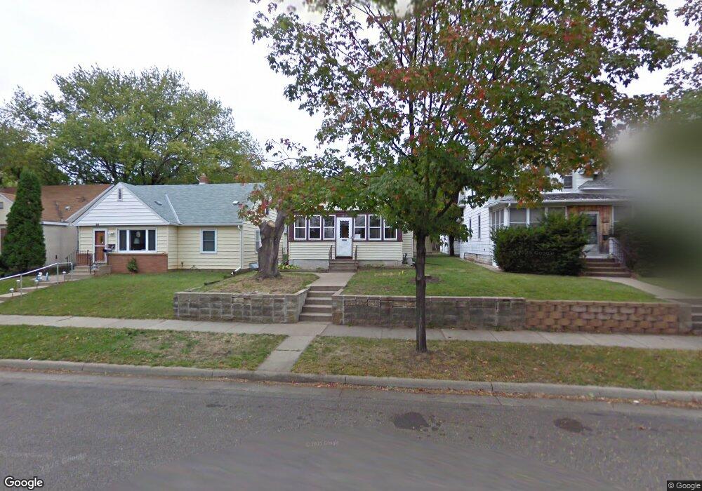
1869 Benson Ave Saint Paul, MN 55116
West Seventh NeighborhoodEstimated Value: $223,000 - $274,000
2
Beds
1
Bath
1,536
Sq Ft
$165/Sq Ft
Est. Value
About This Home
This home is located at 1869 Benson Ave, Saint Paul, MN 55116 and is currently estimated at $254,167, approximately $165 per square foot. 1869 Benson Ave is a home located in Ramsey County with nearby schools including Expo for Excellence Elementary School, Highland Park Middle School, and Highland Park Senior High.
Ownership History
Date
Name
Owned For
Owner Type
Purchase Details
Closed on
Dec 27, 2019
Sold by
Everson Christina and Everson Ryan
Bought by
Bulbula Sintayehu B
Current Estimated Value
Home Financials for this Owner
Home Financials are based on the most recent Mortgage that was taken out on this home.
Original Mortgage
$184,300
Outstanding Balance
$163,243
Interest Rate
3.73%
Mortgage Type
New Conventional
Estimated Equity
$90,924
Purchase Details
Closed on
Jul 17, 2009
Sold by
Federal National Mortgage Association
Bought by
Schramm Christina M
Purchase Details
Closed on
Mar 19, 2004
Sold by
Jbi & Associates Inc
Bought by
Unavailable
Create a Home Valuation Report for This Property
The Home Valuation Report is an in-depth analysis detailing your home's value as well as a comparison with similar homes in the area
Home Values in the Area
Average Home Value in this Area
Purchase History
| Date | Buyer | Sale Price | Title Company |
|---|---|---|---|
| Bulbula Sintayehu B | $190,000 | Burnet Title | |
| Schramm Christina M | $88,000 | -- | |
| Unavailable | $1,560 | -- |
Source: Public Records
Mortgage History
| Date | Status | Borrower | Loan Amount |
|---|---|---|---|
| Open | Bulbula Sintayehu B | $184,300 |
Source: Public Records
Tax History
| Year | Tax Paid | Tax Assessment Tax Assessment Total Assessment is a certain percentage of the fair market value that is determined by local assessors to be the total taxable value of land and additions on the property. | Land | Improvement |
|---|---|---|---|---|
| 2025 | $3,330 | $242,600 | $40,000 | $202,600 |
| 2023 | $3,330 | $225,200 | $40,000 | $185,200 |
| 2022 | $2,938 | $223,500 | $40,000 | $183,500 |
| 2021 | $2,528 | $195,700 | $40,000 | $155,700 |
| 2020 | $2,476 | $177,400 | $30,000 | $147,400 |
| 2019 | $2,512 | $164,300 | $30,000 | $134,300 |
| 2018 | $2,126 | $164,300 | $30,000 | $134,300 |
| 2017 | $1,994 | $147,200 | $30,000 | $117,200 |
| 2016 | $1,820 | $0 | $0 | $0 |
| 2015 | $1,750 | $130,700 | $25,000 | $105,700 |
| 2014 | $1,518 | $0 | $0 | $0 |
Source: Public Records
Map
Nearby Homes
- 1111 Elway St Unit 506
- 762 Lexington Pkwy S
- 2223 Stewart Ave
- 686 Lexington Pkwy S
- 1306 Eleanor Ave
- 905 Woodlawn Ave Unit G
- 1368 Eleanor Ave
- 673 Hamline Ave S
- 2265 Youngman Ave Unit 403E
- 2275 Youngman Ave Unit 410W
- 1251 Bayard Ave
- 2079 Upper Saint Dennis Rd
- 1392 Scheffer Ave
- 1368 Hartford Ave
- 576 Lexington Pkwy S
- 1077 Sibley Memorial Hwy Unit 506
- 1101 Sibley Memorial Hwy Unit 306
- 1589 Hillcrest Ave
- 555 Montcalm Place
- 1206 Niles Ave
- 1865 Benson Ave
- 1873 Benson Ave
- 1861 Benson Ave
- 1877 Benson Ave
- 1884 7th St W
- 1890 7th St W
- 1853 Benson Ave
- 1894 7th St W
- 1882 7th St W
- 1873 Ivan Way
- 1878 7th St W
- 1858 Benson Ave
- 1854 Benson Ave
- 1870 7th St W
- 861 Dealton St
- 1870 Ivan Way
- 865 Dealton St
- 871 Dealton St
- 1845 Benson Ave
- 1848 Benson Ave
Your Personal Tour Guide
Ask me questions while you tour the home.