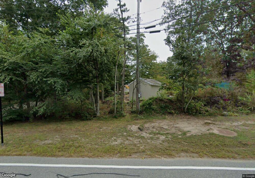
187 Hooppole Rd Mashpee, MA 02649
Estimated Value: $1,272,000 - $1,504,000
4
Beds
2
Baths
1,536
Sq Ft
$904/Sq Ft
Est. Value
About This Home
This home is located at 187 Hooppole Rd, Mashpee, MA 02649 and is currently estimated at $1,388,776, approximately $904 per square foot. 187 Hooppole Rd is a home located in Barnstable County with nearby schools including Kenneth C. Coombs School, Quashnet School, and Mashpee Middle School.
Ownership History
Date
Name
Owned For
Owner Type
Purchase Details
Closed on
Nov 16, 2022
Sold by
Gore Eladio R
Bought by
187 Hooppole Road Nt
Current Estimated Value
Purchase Details
Closed on
Feb 1, 2005
Sold by
Smith Helen E
Bought by
Gore Eladio R and Gore Louise M
Home Financials for this Owner
Home Financials are based on the most recent Mortgage that was taken out on this home.
Original Mortgage
$77,975
Interest Rate
5.67%
Mortgage Type
Purchase Money Mortgage
Create a Home Valuation Report for This Property
The Home Valuation Report is an in-depth analysis detailing your home's value as well as a comparison with similar homes in the area
Purchase History
We collect this data history from publicly available records. To have your information removed, we recommend requesting removal directly through your county’s website.
| Date | Buyer | Sale Price | Title Company |
|---|---|---|---|
| 187 Hooppole Road Nt | -- | None Available | |
| Gore Eladio R | $519,900 | -- |
Source: Public Records
Mortgage History
We collect this data history from publicly available records. To have your information removed, we recommend requesting removal directly through your county’s website.
| Date | Status | Borrower | Loan Amount |
|---|---|---|---|
| Previous Owner | Gore Eladio R | $77,975 |
Source: Public Records
Tax History
| Year | Tax Paid | Tax Assessment Tax Assessment Total Assessment is a certain percentage of the fair market value that is determined by local assessors to be the total taxable value of land and additions on the property. | Land | Improvement |
|---|---|---|---|---|
| 2025 | $8,912 | $1,346,200 | $566,300 | $779,900 |
| 2024 | $8,300 | $1,290,800 | $514,900 | $775,900 |
| 2023 | $7,914 | $1,129,000 | $490,300 | $638,700 |
| 2022 | $7,917 | $969,000 | $438,500 | $530,500 |
| 2021 | $7,099 | $782,700 | $359,100 | $423,600 |
| 2020 | $6,847 | $753,300 | $345,300 | $408,000 |
| 2019 | $6,411 | $708,400 | $324,600 | $383,800 |
| 2018 | $6,120 | $686,100 | $324,600 | $361,500 |
| 2017 | $6,284 | $683,800 | $328,200 | $355,600 |
| 2016 | $6,131 | $663,500 | $328,200 | $335,300 |
| 2015 | $5,919 | $649,700 | $328,200 | $321,500 |
| 2014 | $6,034 | $642,600 | $321,900 | $320,700 |
Source: Public Records
Map
Nearby Homes
- 149 Wheeler Rd
- 185 Wheeler Rd
- 66 Highland St
- 28 Cranberry Ave
- 53 Woodland Ave
- 104 Highland St
- 13 Pga Ln
- 46 Pond Cir
- 9 Horseshoe Bend Way
- 137 Falmouth Sandwich Rd
- 137 Falmouth-Sandwich Rd
- 163 Ninigret Ave
- 15 Pebble Beach Ave
- 115 Pine Hill Blvd Unit 347
- 115 Pine Hill Blvd
- 7 Masters Ct
- 1 Woods Edge Ln
- 142 Leisure Green Dr N Unit 142
- 142 Leisure Green Dr S Unit 142
- 106 Pine Hill Blvd Unit 106
- 199 Hooppole Rd
- 177 Hooppole Rd
- 207 Hooppole Rd
- 200 Hooppole Rd
- 167 Hooppole Rd
- 217 Hooppole Rd
- 155 Hooppole Rd
- 143 Wheeler Rd
- 214 Hooppole Rd
- 12 Highland St
- 25 Highland St
- 20 Highland St
- 223 Hooppole Rd
- 168 Hooppole Rd
- 135 Wheeler Rd
- 4 Hillside Ave
- 29 Highland St
- 163 Wheeler Rd
- 229 Hooppole Rd
- 14 Crescent Rd
Your Personal Tour Guide
Ask me questions while you tour the home.