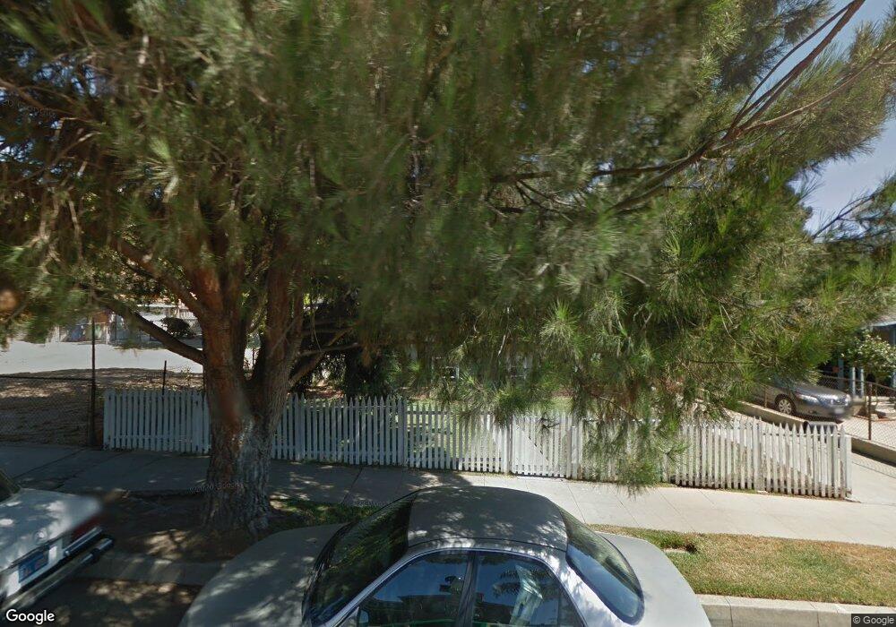
1872 North Avenue 52 Los Angeles, CA 90042
Eagle Rock NeighborhoodEstimated Value: $1,438,000 - $1,647,655
5
Beds
3
Baths
2,387
Sq Ft
$646/Sq Ft
Est. Value
About This Home
This home is located at 1872 North Avenue 52, Los Angeles, CA 90042 and is currently estimated at $1,542,914, approximately $646 per square foot. 1872 North Avenue 52 is a home located in Los Angeles County with nearby schools including Buchanan Street Elementary, Benjamin Franklin High School, and Luther Burbank Middle School.
Ownership History
Date
Name
Owned For
Owner Type
Purchase Details
Closed on
May 30, 2014
Sold by
Macomber David Thomas
Bought by
David & Ana Macomber Family Trust
Current Estimated Value
Purchase Details
Closed on
Nov 13, 1996
Sold by
Macomber David T
Bought by
Macomber David T and Macomber Ana G
Create a Home Valuation Report for This Property
The Home Valuation Report is an in-depth analysis detailing your home's value as well as a comparison with similar homes in the area
Home Values in the Area
Average Home Value in this Area
Purchase History
| Date | Buyer | Sale Price | Title Company |
|---|---|---|---|
| David & Ana Macomber Family Trust | -- | None Available | |
| Macomber David T | -- | -- |
Source: Public Records
Tax History Compared to Growth
Tax History
| Year | Tax Paid | Tax Assessment Tax Assessment Total Assessment is a certain percentage of the fair market value that is determined by local assessors to be the total taxable value of land and additions on the property. | Land | Improvement |
|---|---|---|---|---|
| 2025 | $6,349 | $516,103 | $289,938 | $226,165 |
| 2024 | $6,349 | $505,984 | $284,253 | $221,731 |
| 2023 | $6,229 | $496,064 | $278,680 | $217,384 |
| 2022 | $5,943 | $486,338 | $273,216 | $213,122 |
| 2021 | $5,859 | $476,803 | $267,859 | $208,944 |
| 2019 | $5,685 | $462,663 | $259,915 | $202,748 |
| 2018 | $5,592 | $453,592 | $254,819 | $198,773 |
| 2016 | $5,324 | $435,980 | $244,925 | $191,055 |
| 2015 | $5,246 | $429,432 | $241,246 | $188,186 |
| 2014 | $5,269 | $421,021 | $236,521 | $184,500 |
Source: Public Records
Map
Nearby Homes
- 1932 Phillips Way
- 1942 Phillips Way
- 5240 Barker Dr
- 1938 Phillips Way
- 1915 N Avenue 52
- 1902 N Avenue 51
- 1813 N Avenue 53
- 1813 N Avenue 55
- 1333 Wildwood Dr
- 5252 Range View Ave
- 4631 4637 Loleta Place
- 1632 Oak Grove Dr
- 5117 Stratford Rd
- 1584 Oak Grove Place
- 1359 Wildwood Dr
- 1370 N Avenue 57
- 1321 Wildwood Dr
- 1815 Nolden St
- 1567 Fair Park Ave
- 1425 Highgate Ave
- 1868 North Avenue 52
- 1876 North Avenue 52
- 1864 North Avenue 52
- 1882 N Ave 52
- 1882 N Avenue 52
- 1882 North Avenue 52
- 1860 North Avenue 52
- 1869 Phillips Way
- 1863 Phillips Way
- 1886 North Avenue 52
- 1856 N Avenue 52
- 1856 North Avenue 52
- 1857 Phillips Way
- 1850 N Avenue 52
- 1850 North Avenue 52
- 1900 N Avenue 52
- 1900 North Avenue 52
- 1907 Phillips Way
- 1850 1/2 N Avenue 52
- 1875 North Avenue 52