1873 Dunseth Ln Unit 6 Springfield, OH 45503
Estimated Value: $198,000 - $253,000
2
Beds
2
Baths
1,623
Sq Ft
$147/Sq Ft
Est. Value
About This Home
This home is located at 1873 Dunseth Ln Unit 6, Springfield, OH 45503 and is currently estimated at $238,669, approximately $147 per square foot. 1873 Dunseth Ln Unit 6 is a home located in Clark County with nearby schools including Rolling Hills Elementary School, Northridge Middle School, and Kenton Ridge Middle & High School.
Ownership History
Date
Name
Owned For
Owner Type
Purchase Details
Closed on
Feb 27, 2006
Sold by
Spangler Helen R
Bought by
Hester William J
Current Estimated Value
Home Financials for this Owner
Home Financials are based on the most recent Mortgage that was taken out on this home.
Original Mortgage
$108,800
Outstanding Balance
$61,598
Interest Rate
6.2%
Mortgage Type
Fannie Mae Freddie Mac
Estimated Equity
$177,071
Create a Home Valuation Report for This Property
The Home Valuation Report is an in-depth analysis detailing your home's value as well as a comparison with similar homes in the area
Home Values in the Area
Average Home Value in this Area
Purchase History
| Date | Buyer | Sale Price | Title Company |
|---|---|---|---|
| Hester William J | $136,000 | None Available |
Source: Public Records
Mortgage History
| Date | Status | Borrower | Loan Amount |
|---|---|---|---|
| Open | Hester William J | $108,800 |
Source: Public Records
Tax History Compared to Growth
Tax History
| Year | Tax Paid | Tax Assessment Tax Assessment Total Assessment is a certain percentage of the fair market value that is determined by local assessors to be the total taxable value of land and additions on the property. | Land | Improvement |
|---|---|---|---|---|
| 2024 | $2,008 | $56,650 | $11,730 | $44,920 |
| 2023 | $2,008 | $56,650 | $11,730 | $44,920 |
| 2022 | $2,033 | $56,650 | $11,730 | $44,920 |
| 2021 | $1,890 | $46,500 | $8,750 | $37,750 |
| 2020 | $1,892 | $46,500 | $8,750 | $37,750 |
| 2019 | $1,928 | $46,500 | $8,750 | $37,750 |
| 2018 | $1,819 | $42,920 | $8,930 | $33,990 |
| 2017 | $1,559 | $42,420 | $8,925 | $33,495 |
| 2016 | $1,548 | $42,420 | $8,925 | $33,495 |
| 2015 | $1,560 | $42,245 | $8,750 | $33,495 |
| 2014 | $1,560 | $42,245 | $8,750 | $33,495 |
| 2013 | $1,524 | $42,245 | $8,750 | $33,495 |
Source: Public Records
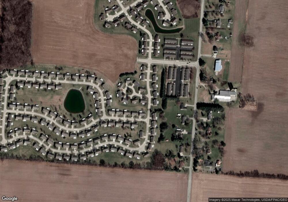
Map
Nearby Homes
- 1902 Willow Lakes Dr Unit 71
- 1888 Birchwood Ct
- 1527 Oldham Dr
- 1470 Oldham Dr Unit 12
- 5794 Winfield Dr
- 5220 Ridgewood Rd E
- 5249 Taywell Dr
- 5127 Stoneridge Dr
- 1709 Thomas Dr
- 4924 Brannan Dr E Unit 4924
- 4849 Ashley Dr
- 4825 Chippendale Dr
- 4740 Merrimont Ave
- 4620 Eldora St
- 4620 Eldora Dr
- 4644 Middle Urbana Rd
- 4524 Ridgewood Rd E
- 4512 Ridgewood Rd E
- 1835 Sierra Ave
- 1859 Dunseth Ln
- 1870 Dunseth Ln
- 5642 Fox Ridge Dr E
- 1868 Berwick Dr
- 1854 Berwick Dr
- 5654 Fox Ridge Dr E Unit 4
- 1845 Dunseth Ln Unit 8
- 5622 Fox Ridge Dr E
- 1856 Dunseth Ln Unit 12
- 5668 Fox Ridge Dr E
- 1840 Berwick Dr Unit 28
- 5675 Fox Ridge Dr E Unit 14
- 5675 Fox Ridge Dr E
- 5675 Fox Ridge Dr E
- 1839 Dunseth Ln Unit 9
- 1857 Berwick Dr
- 1857 Berwick Dr
- 1842 Dunseth Ln Unit 11
- 5604 Fox Ridge Dr E Unit 32
- 5604 Fox Ridge Dr E