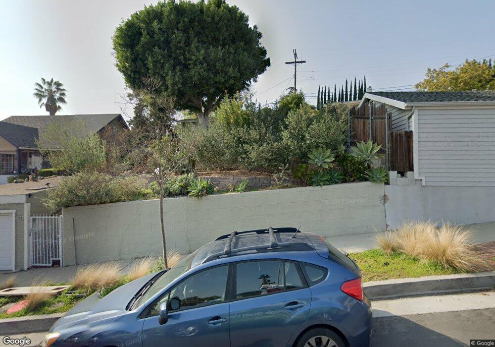
1877 North Avenue 51 Los Angeles, CA 90042
Eagle Rock NeighborhoodEstimated Value: $980,000 - $1,191,251
3
Beds
2
Baths
937
Sq Ft
$1,169/Sq Ft
Est. Value
About This Home
This home is located at 1877 North Avenue 51, Los Angeles, CA 90042 and is currently estimated at $1,095,813, approximately $1,169 per square foot. 1877 North Avenue 51 is a home located in Los Angeles County with nearby schools including Buchanan Street Elementary, Benjamin Franklin High School, and Luther Burbank Middle School.
Ownership History
Date
Name
Owned For
Owner Type
Purchase Details
Closed on
Jul 30, 2012
Sold by
Zamudio Dorothea and Holland Elsbeth H
Bought by
Ariniello David L and Thomas Kelly Lynn
Current Estimated Value
Home Financials for this Owner
Home Financials are based on the most recent Mortgage that was taken out on this home.
Original Mortgage
$270,000
Outstanding Balance
$185,275
Interest Rate
3.47%
Mortgage Type
New Conventional
Estimated Equity
$910,538
Purchase Details
Closed on
Jul 9, 2004
Sold by
Zamudio Dorothea and Holland Elsbeth H
Bought by
Zamudio Dorothea
Create a Home Valuation Report for This Property
The Home Valuation Report is an in-depth analysis detailing your home's value as well as a comparison with similar homes in the area
Home Values in the Area
Average Home Value in this Area
Purchase History
| Date | Buyer | Sale Price | Title Company |
|---|---|---|---|
| Ariniello David L | $360,000 | Lawyers Title | |
| Zamudio Dorothea | -- | -- |
Source: Public Records
Mortgage History
| Date | Status | Borrower | Loan Amount |
|---|---|---|---|
| Open | Ariniello David L | $270,000 |
Source: Public Records
Tax History Compared to Growth
Tax History
| Year | Tax Paid | Tax Assessment Tax Assessment Total Assessment is a certain percentage of the fair market value that is determined by local assessors to be the total taxable value of land and additions on the property. | Land | Improvement |
|---|---|---|---|---|
| 2025 | $5,370 | $443,300 | $354,644 | $88,656 |
| 2024 | $5,370 | $434,609 | $347,691 | $86,918 |
| 2023 | $5,267 | $426,088 | $340,874 | $85,214 |
| 2022 | $5,022 | $417,735 | $334,191 | $83,544 |
| 2021 | $4,959 | $409,545 | $327,639 | $81,906 |
| 2019 | $4,810 | $397,400 | $317,922 | $79,478 |
| 2018 | $4,780 | $389,609 | $311,689 | $77,920 |
| 2016 | $4,566 | $374,483 | $299,587 | $74,896 |
| 2015 | $4,500 | $368,858 | $295,087 | $73,771 |
| 2014 | $4,520 | $361,633 | $289,307 | $72,326 |
Source: Public Records
Map
Nearby Homes
- 1902 N Avenue 51
- 1915 N Avenue 52
- 1632 Oak Grove Dr
- 1942 Phillips Way
- 1938 Phillips Way
- 1932 Phillips Way
- 5240 Barker Dr
- 1584 Oak Grove Place
- 1333 Wildwood Dr
- 1813 N Avenue 53
- 4631 4637 Loleta Place
- 1813 N Avenue 55
- 5117 Stratford Rd
- 5252 Range View Ave
- 1359 Wildwood Dr
- 1567 Fair Park Ave
- 1321 Wildwood Dr
- 4868 La Roda Ave
- 1370 N Avenue 57
- 4890 Floristan Ave
- 1877 N Avenue 51
- 1871 North Avenue 51
- 1883 North Avenue 51
- 1867 North Avenue 51
- 1887 N Avenue 51
- 1887 North Avenue 51
- 1897 N Ave 51
- 1897 North Avenue 51
- 1897 N Avenue 51
- 1869 1/2 N Avenue 51
- 1869 N Avenue 51
- 1869 N Avenue 51 Unit 1/2
- 1869 N Avenue 51
- 1863 N Avenue 51
- 1863 North Avenue 51
- 4614 Townsend Ave
- 1892 N Avenue 51
- 1901 North Avenue 51
- 1901 N Avenue 51
- 1876 North Avenue 51