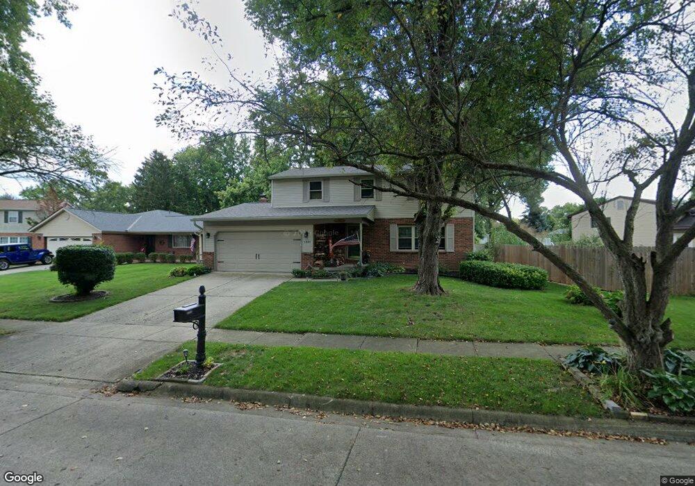
1881 Fallgate Ct Columbus, OH 43235
Brookside Colony NeighborhoodEstimated Value: $376,000 - $425,000
4
Beds
3
Baths
1,789
Sq Ft
$220/Sq Ft
Est. Value
About This Home
This home is located at 1881 Fallgate Ct, Columbus, OH 43235 and is currently estimated at $394,102, approximately $220 per square foot. 1881 Fallgate Ct is a home located in Franklin County with nearby schools including Granby Elementary School, McCord Middle School, and Worthington Kilbourne High School.
Ownership History
Date
Name
Owned For
Owner Type
Purchase Details
Closed on
Oct 16, 1995
Sold by
Janszen Joseph A
Bought by
Elkins Timothy D and Elkins Sanda V
Current Estimated Value
Home Financials for this Owner
Home Financials are based on the most recent Mortgage that was taken out on this home.
Original Mortgage
$105,000
Interest Rate
7.8%
Mortgage Type
New Conventional
Purchase Details
Closed on
Oct 22, 1992
Purchase Details
Closed on
Aug 2, 1990
Create a Home Valuation Report for This Property
The Home Valuation Report is an in-depth analysis detailing your home's value as well as a comparison with similar homes in the area
Home Values in the Area
Average Home Value in this Area
Purchase History
| Date | Buyer | Sale Price | Title Company |
|---|---|---|---|
| Elkins Timothy D | $117,000 | -- | |
| -- | $102,000 | -- | |
| -- | $88,500 | -- |
Source: Public Records
Mortgage History
| Date | Status | Borrower | Loan Amount |
|---|---|---|---|
| Previous Owner | Elkins Timothy D | $141,250 | |
| Previous Owner | Elkins Timothy D | $137,600 | |
| Previous Owner | Elkins Timothy D | $21,000 | |
| Previous Owner | Elkins Timothy D | $105,000 |
Source: Public Records
Tax History Compared to Growth
Tax History
| Year | Tax Paid | Tax Assessment Tax Assessment Total Assessment is a certain percentage of the fair market value that is determined by local assessors to be the total taxable value of land and additions on the property. | Land | Improvement |
|---|---|---|---|---|
| 2024 | $9,504 | $104,730 | $25,590 | $79,140 |
| 2023 | $6,149 | $104,730 | $25,590 | $79,140 |
| 2022 | $5,446 | $73,610 | $18,030 | $55,580 |
| 2021 | $5,025 | $73,610 | $18,030 | $55,580 |
| 2020 | $4,840 | $73,610 | $18,030 | $55,580 |
| 2019 | $4,377 | $60,070 | $15,020 | $45,050 |
| 2018 | $4,100 | $60,070 | $15,020 | $45,050 |
| 2017 | $3,922 | $60,070 | $15,020 | $45,050 |
| 2016 | $3,959 | $55,760 | $13,370 | $42,390 |
| 2015 | $3,959 | $55,760 | $13,370 | $42,390 |
| 2014 | $3,958 | $55,760 | $13,370 | $42,390 |
| 2013 | $1,969 | $55,755 | $13,370 | $42,385 |
Source: Public Records
Map
Nearby Homes
- 1930 Shallowford Ave
- 6921 Spruce Pine Dr
- 1721 Worthington Run Dr Unit 1721-1731
- 1889 Slaton Ct Unit 1889
- 2056 Fincastle Ct
- 1637 Park Row Dr Unit F
- 2001 Sawbury Blvd Unit 2001
- 1620 Park Row Dr Unit A
- 1828 Gardenstone Dr
- 2161 Heatherfield Ave
- 2687 Snouffer Rd
- 2074 Hard Rd
- 1380 Tiehack Ct
- 2220 Surreygate Dr
- 7373 Palmleaf Ln
- 7164 Durness Place
- 2392 Dunsworth Dr
- 7734 Henry David Ct
- 2456 Sanford Dr
- 2469 Sandstrom Dr
- 1888 Shallowford Ave
- 1876 Shallowford Ave
- 1863 Fallgate Ct
- 1868 Queensbridge Dr
- 1882 Fallgate Ct
- 1860 Queensbridge Dr
- 1890 Fallgate Ct
- 1874 Fallgate Ct
- 1899 Shallowford Ave
- 1898 Fallgate Ct
- 1905 Shallowford Ave
- 1852 Queensbridge Dr
- 1855 Fallgate Ct
- 1906 Fallgate Ct
- 1896 Queensbridge Dr
- 1866 Fallgate Ct
- 1913 Shallowford Ave
- 1858 Fallgate Ct
- 1914 Shallowford Ave
- 1842 Queensbridge Dr