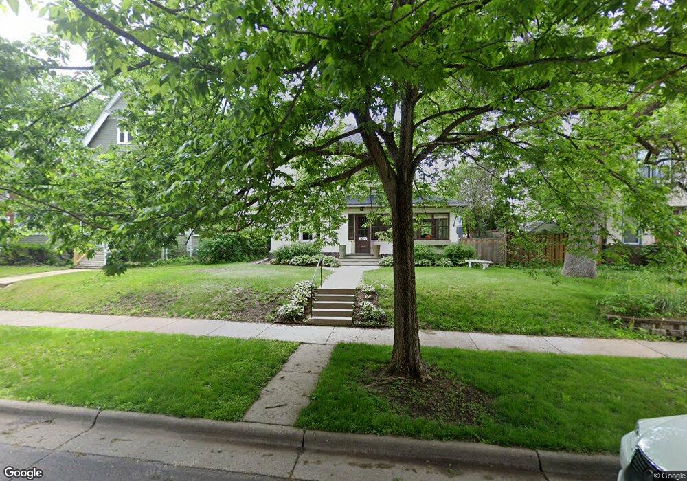
1892 Dayton Ave Saint Paul, MN 55104
Union Park NeighborhoodEstimated Value: $675,000 - $765,000
3
Beds
2
Baths
2,362
Sq Ft
$303/Sq Ft
Est. Value
About This Home
This home is located at 1892 Dayton Ave, Saint Paul, MN 55104 and is currently estimated at $716,243, approximately $303 per square foot. 1892 Dayton Ave is a home located in Ramsey County with nearby schools including Groveland Park Elementary School, Hidden River Middle School, and Central Senior High School.
Ownership History
Date
Name
Owned For
Owner Type
Purchase Details
Closed on
Nov 13, 2014
Sold by
Maryknoll Llc
Bought by
Anderson Kevin Curtis and Anderson Kathryn Bryson
Current Estimated Value
Home Financials for this Owner
Home Financials are based on the most recent Mortgage that was taken out on this home.
Original Mortgage
$394,250
Outstanding Balance
$303,119
Interest Rate
4.1%
Mortgage Type
New Conventional
Estimated Equity
$413,124
Purchase Details
Closed on
Oct 18, 2013
Sold by
Regnier Mary D
Bought by
Maryknoll Llc
Home Financials for this Owner
Home Financials are based on the most recent Mortgage that was taken out on this home.
Original Mortgage
$49,000
Interest Rate
4.5%
Mortgage Type
Purchase Money Mortgage
Create a Home Valuation Report for This Property
The Home Valuation Report is an in-depth analysis detailing your home's value as well as a comparison with similar homes in the area
Home Values in the Area
Average Home Value in this Area
Purchase History
| Date | Buyer | Sale Price | Title Company |
|---|---|---|---|
| Anderson Kevin Curtis | $427,575 | Burnet Title | |
| Maryknoll Llc | $221,515 | None Available | |
| -- | $215,000 | -- |
Source: Public Records
Mortgage History
| Date | Status | Borrower | Loan Amount |
|---|---|---|---|
| Open | Anderson Kevin Curtis | $394,250 | |
| Previous Owner | -- | $49,000 | |
| Previous Owner | Maryknoll Llc | $274,500 |
Source: Public Records
Tax History Compared to Growth
Tax History
| Year | Tax Paid | Tax Assessment Tax Assessment Total Assessment is a certain percentage of the fair market value that is determined by local assessors to be the total taxable value of land and additions on the property. | Land | Improvement |
|---|---|---|---|---|
| 2025 | $9,382 | $694,100 | $109,400 | $584,700 |
| 2024 | $9,382 | $674,600 | $109,400 | $565,200 |
| 2023 | $9,382 | $591,700 | $109,400 | $482,300 |
| 2022 | $8,754 | $600,600 | $109,400 | $491,200 |
| 2021 | $7,818 | $534,900 | $109,400 | $425,500 |
| 2020 | $8,110 | $501,800 | $109,400 | $392,400 |
| 2019 | $7,846 | $483,700 | $109,400 | $374,300 |
| 2018 | $7,472 | $452,500 | $109,400 | $343,100 |
| 2017 | $6,912 | $452,500 | $109,400 | $343,100 |
| 2016 | $6,868 | $0 | $0 | $0 |
| 2015 | $5,100 | $400,700 | $109,400 | $291,300 |
| 2014 | $5,104 | $0 | $0 | $0 |
Source: Public Records
Map
Nearby Homes
- 1836 Marshall Ave
- 1821 Selby Ave
- 1920 Laurel Ave
- 1798 Marshall Ave
- 1935 Iglehart Ave
- 1796 Iglehart Ave
- 1943 Carroll Ave
- 1917 Summit Ave Unit 2
- 1787 Carroll Ave
- 2096 Dayton Ave
- 2098 Marshall Ave
- 2103 Dayton Ave
- 389 Fairview Ave N
- 1671 Marshall Ave
- 406 Beacon Ave
- 1670 Ashland Ave
- 2009 Grand Ave
- 1897 Feronia Ave
- 2056 Summit Ave
- 451 Lynnhurst Ave E
- 1892 1892 Dayton Ave
- 1898 Dayton Ave
- 1890 Dayton Ave
- 1882 Dayton Ave
- 1878 Dayton Ave
- 1906 Dayton Ave
- 1897 Selby Ave
- 1889 Selby Ave
- 1883 Selby Ave
- 1872 Dayton Ave
- 1899 Selby Ave
- 1910 Dayton Ave
- 1895 Dayton Ave
- 1897 1897 Dayton Ave
- 1897 Dayton Ave
- 1891 Dayton Ave
- 1879 Selby Ave
- 1903 Selby Ave
- 1885 Dayton Ave
- 1868 Dayton Ave