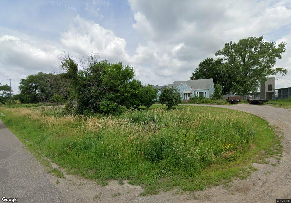
18950 Territorial Rd Maple Grove, MN 55369
Estimated Value: $343,613 - $648,000
5
Beds
1
Bath
1,643
Sq Ft
$275/Sq Ft
Est. Value
About This Home
This home is located at 18950 Territorial Rd, Maple Grove, MN 55369 and is currently estimated at $452,403, approximately $275 per square foot. 18950 Territorial Rd is a home located in Hennepin County with nearby schools including Fernbrook Elementary School, Osseo Middle School, and Maple Grove Senior High School.
Ownership History
Date
Name
Owned For
Owner Type
Purchase Details
Closed on
Feb 20, 2018
Sold by
T And C Johnson Holdings Llc
Bought by
Johnson Corey L
Current Estimated Value
Purchase Details
Closed on
Nov 26, 2013
Sold by
Johnson Corey
Bought by
T & C Johnson Holdings Llc
Purchase Details
Closed on
Nov 12, 2013
Sold by
Johnson Terry and Johnson June
Bought by
T & C Johnson Holdings Llc
Purchase Details
Closed on
Aug 31, 2006
Sold by
Knapp Judith A and Knapp Earl J
Bought by
T & C Johnson Holdings Llc
Create a Home Valuation Report for This Property
The Home Valuation Report is an in-depth analysis detailing your home's value as well as a comparison with similar homes in the area
Home Values in the Area
Average Home Value in this Area
Purchase History
| Date | Buyer | Sale Price | Title Company |
|---|---|---|---|
| Johnson Corey L | -- | None Available | |
| T & C Johnson Holdings Llc | -- | None Available | |
| T & C Johnson Holdings Llc | -- | None Available | |
| T & C Johnson Holdings Llc | $243,000 | -- |
Source: Public Records
Tax History Compared to Growth
Tax History
| Year | Tax Paid | Tax Assessment Tax Assessment Total Assessment is a certain percentage of the fair market value that is determined by local assessors to be the total taxable value of land and additions on the property. | Land | Improvement |
|---|---|---|---|---|
| 2024 | $7,136 | $401,000 | $266,000 | $135,000 |
| 2023 | $7,139 | $401,000 | $266,000 | $135,000 |
| 2022 | $5,641 | $172,000 | $130,000 | $42,000 |
| 2021 | $5,621 | $145,000 | $103,000 | $42,000 |
| 2020 | $4,915 | $295,000 | $173,000 | $122,000 |
| 2019 | $4,791 | $123,000 | $103,000 | $20,000 |
| 2018 | $4,815 | $123,000 | $103,000 | $20,000 |
| 2017 | $5,312 | $243,000 | $163,000 | $80,000 |
| 2016 | $4,487 | $213,000 | $163,000 | $50,000 |
| 2015 | $2,796 | $183,000 | $163,000 | $20,000 |
| 2014 | -- | $199,000 | $179,000 | $20,000 |
Source: Public Records
Map
Nearby Homes
- 11633 Minnesota Ln N
- 19537 Millpond Way
- 11500 Brookview Dr
- 19690 116th Ave N
- 11460 Grassland Way
- XXX Brockton Ln N
- 12117 Malisa Ct
- Aspen Plan at Evanswood
- Gibson Plan at Evanswood
- Kenton Plan at Evanswood
- Sutherland Plan at Evanswood
- Augustine Plan at Evanswood
- Kendall Plan at Evanswood
- Middleton Plan at Evanswood
- Riley Plan at Evanswood
- Victoria Plan at Evanswood
- 18255 104th Cir N
- 20949 Peony Ln
- 10892 Territorial Trail
- 10888 Territorial Trail
- XXXX Territorial Rd
- 18470 Territorial Rd
- 000 Territorial Rd
- 10090 Brockton Ln N
- 19135 Territorial Rd
- 18660 Territorial Rd
- XXXXE Territorial Rd
- XXXXD Territorial Rd
- 00 Territorial Rd
- TBD Justen Cir
- 18550 81st Place N
- 11561 Boulder Ct
- 11549 Boulder Ct
- 11553 Boulder Ct
- 11555 Boulder Ct
- 11546 Woodside Dr
- 11548 Woodside Dr
- 11584 Woodside Dr
- 11575 Boulder Ct
- 11574 Woodside Dr N