1897 Highway 74 N Tyrone, GA 30290
Estimated Value: $402,000 - $586,000
Studio
--
Bath
2,195
Sq Ft
$227/Sq Ft
Est. Value
About This Home
This home is located at 1897 Highway 74 N, Tyrone, GA 30290 and is currently estimated at $498,321, approximately $227 per square foot. 1897 Highway 74 N is a home located in Fayette County with nearby schools including Robert J. Burch Elementary School, Flat Rock Middle School, and Sandy Creek High School.
Ownership History
Date
Name
Owned For
Owner Type
Purchase Details
Closed on
Jan 13, 2023
Sold by
Jordan Karen W and Jordan Gary A
Bought by
Westbourne Dr And 74 Llc
Current Estimated Value
Purchase Details
Closed on
Aug 3, 2012
Sold by
Watkins Helen Dailey
Bought by
Jordan Karen W
Create a Home Valuation Report for This Property
The Home Valuation Report is an in-depth analysis detailing your home's value as well as a comparison with similar homes in the area
Home Values in the Area
Average Home Value in this Area
Purchase History
| Date | Buyer | Sale Price | Title Company |
|---|---|---|---|
| Westbourne Dr And 74 Llc | -- | Chicago Title | |
| Westbourne Dr And 74 Llc | -- | None Listed On Document | |
| Westbourne Dr And 74 Llc | -- | Chicago Title | |
| Westbourne Dr And 74 Llc | -- | None Listed On Document | |
| Jordan Karen W | -- | -- | |
| Jordan Karen W | -- | -- | |
| Jordan Karen W | -- | -- | |
| Jordan Karen W | -- | -- |
Source: Public Records
Tax History
| Year | Tax Paid | Tax Assessment Tax Assessment Total Assessment is a certain percentage of the fair market value that is determined by local assessors to be the total taxable value of land and additions on the property. | Land | Improvement |
|---|---|---|---|---|
| 2025 | $4,788 | $188,752 | $53,256 | $135,496 |
| 2024 | $4,788 | $176,404 | $49,772 | $126,632 |
| 2023 | $4,788 | $151,896 | $43,136 | $108,760 |
| 2022 | $3,929 | $141,276 | $38,156 | $103,120 |
| 2021 | $3,322 | $117,800 | $34,840 | $82,960 |
| 2020 | $3,011 | $106,240 | $32,360 | $73,880 |
| 2019 | $2,950 | $102,960 | $32,360 | $70,600 |
| 2018 | $2,741 | $94,596 | $29,276 | $65,320 |
| 2017 | $2,433 | $83,616 | $27,736 | $55,880 |
| 2016 | $2,288 | $76,896 | $27,736 | $49,160 |
| 2015 | $2,183 | $72,016 | $27,736 | $44,280 |
| 2014 | $555 | $64,416 | $27,736 | $36,680 |
| 2013 | -- | $63,536 | $0 | $0 |
Source: Public Records
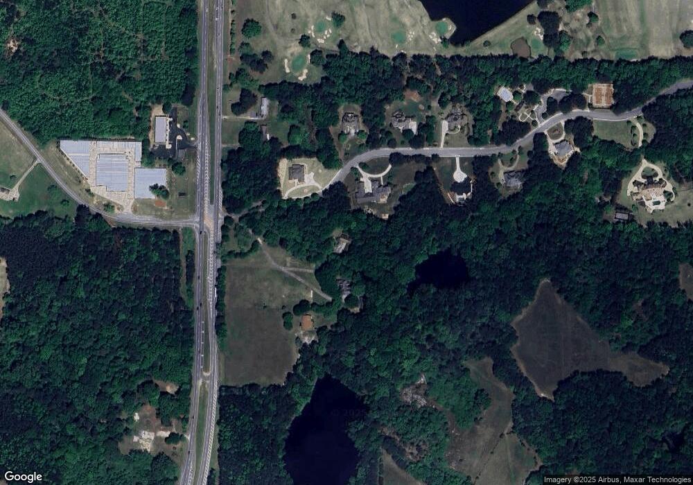
Map
Nearby Homes
- 100 Brookmont Place
- 165 Calverton Ln
- 0 Highway 74 N Unit 10510935
- 242 Kirkley Rd
- 230 Waltham Way
- 390 Malibu Dr
- 250 Woodside Blvd
- 1211 Sandy Creek Rd
- 0 Coastline Rd Unit LOT 4
- 0 Coastline Rd Unit 7661980
- 315 Galena Ct
- 8258 Champion Trail
- 215 Berry Hill Ln
- 109 Hampshire Trace
- 251 Milam Rd
- 5295 Garvey Dr Unit 1
- 3021 Meadow Glen Pass
- 230 Gaelic Way
- 115 Browning Ct
- 403 Carriage Oaks Dr
- 115 Westbourne Dr
- 100 Westbourne Dr Unit LOT 1
- 105 Westbourne Dr
- 1873 Highway 74 N
- 1873 Highway 74 N
- 0 Kirkley Rd
- 0 Kirkley Rd Unit 10154893
- 0 Kirkley Rd Unit 7089455
- 0 Kirkley Rd Unit 3237619
- 135 Westbourne Dr
- 125 Westbourne Dr
- 1919 Highway 74 N
- 120 Westbourne Dr
- 1925 Highway 74 N
- 140 Westbourne Dr
- 1922 Highway 74 N Unit C
- 1922 Highway 74 N Unit 1918
- 1922 Highway 74 N Unit D
- 1922 Highway 74 N Unit B
- 1922 Highway 74 N
Your Personal Tour Guide
Ask me questions while you tour the home.