Estimated Value: $427,005 - $732,000
2
Beds
1
Bath
1,584
Sq Ft
$342/Sq Ft
Est. Value
About This Home
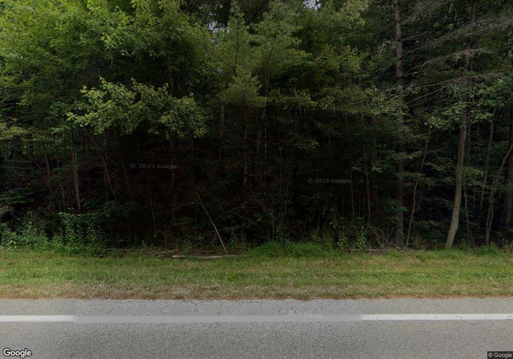
This home is located at 18975 State Route 664 S, Logan, OH 43138 and is currently estimated at $542,001, approximately $342 per square foot. 18975 State Route 664 S is a home located in Hocking County with nearby schools including Hocking Hills Elementary School.
Ownership History
Date
Name
Owned For
Owner Type
Purchase Details
Closed on
Jun 29, 2007
Sold by
Devore Lori M and Koteles Craig
Bought by
Koteles Craig
Current Estimated Value
Home Financials for this Owner
Home Financials are based on the most recent Mortgage that was taken out on this home.
Original Mortgage
$140,000
Interest Rate
6.27%
Mortgage Type
New Conventional
Purchase Details
Closed on
May 21, 2007
Sold by
Harden James Andrew and Harden Rita K
Bought by
Devore Lori M and Koteles Craig
Home Financials for this Owner
Home Financials are based on the most recent Mortgage that was taken out on this home.
Original Mortgage
$140,000
Interest Rate
6.27%
Mortgage Type
New Conventional
Create a Home Valuation Report for This Property
The Home Valuation Report is an in-depth analysis detailing your home's value as well as a comparison with similar homes in the area
Home Values in the Area
Average Home Value in this Area
Purchase History
| Date | Buyer | Sale Price | Title Company |
|---|---|---|---|
| Koteles Craig | -- | None Available | |
| Devore Lori M | $185,000 | None Available |
Source: Public Records
Mortgage History
| Date | Status | Borrower | Loan Amount |
|---|---|---|---|
| Previous Owner | Devore Lori M | $140,000 |
Source: Public Records
Tax History Compared to Growth
Tax History
| Year | Tax Paid | Tax Assessment Tax Assessment Total Assessment is a certain percentage of the fair market value that is determined by local assessors to be the total taxable value of land and additions on the property. | Land | Improvement |
|---|---|---|---|---|
| 2024 | $1,991 | $51,290 | $12,380 | $38,910 |
| 2023 | $1,991 | $51,290 | $12,380 | $38,910 |
| 2022 | $1,994 | $73,220 | $12,380 | $60,840 |
| 2021 | $1,774 | $42,530 | $7,630 | $34,900 |
| 2020 | $1,775 | $42,530 | $7,630 | $34,900 |
| 2019 | $1,775 | $42,530 | $7,630 | $34,900 |
| 2018 | $1,689 | $41,140 | $6,240 | $34,900 |
| 2017 | $1,659 | $41,140 | $6,240 | $34,900 |
| 2016 | $1,647 | $41,140 | $6,240 | $34,900 |
| 2015 | $1,847 | $44,460 | $4,060 | $40,400 |
| 2014 | $1,847 | $44,460 | $4,060 | $40,400 |
| 2013 | $1,855 | $44,460 | $4,060 | $40,400 |
Source: Public Records
Map
Nearby Homes
- 19401 Linden Rd
- 19531 Kalklosch Rd
- 19351 Unger Rd
- 18596 Harble Griffith Rd
- 18732 Griffith Rd
- 18682 Griffith Rd
- 18734 Griffith Rd
- 0 Culp Rd Unit Lot D
- 0 Culp Rd Unit Lot E 225035133
- 0 Culp Rd Unit Lot C 225022147
- 26110 Big Pine Rd
- 0 Strong Rd
- 0 Unger Rd Unit Lot H 225036416
- 29838 Strawn Rd
- 25873 Big Pine Rd
- 0 Hawthorne Way Unit 225040022
- 28745 Big Pine Rd
- 28577 Hawthorne Way
- 16160 Collison Rd
- 30574 Strawn Rd
- 18976 State Route 664 S
- 18902 Ohio 664
- 19051 Ellison Rd
- 18826 State Route 664 S
- 18809 Ohio 664
- 18813 State Route 664 S
- 18908 State Route 664 S
- 18809 State Route 664 S
- 27960 Heigle Rd
- 19118 State Route 664 S
- 19380 Linden Rd
- 19387 Linden Rd
- 1 Kalklosch Rd
- 2 Kalklosch Rd
- 5 Kalklosch Rd
- 0 Kalklosch Rd
- 0 Kalklosch Rd Unit 5 2735594
- 0 Kalklosch Rd Unit 223004225
- 0 Kalklosch Rd Unit Lot 5 2801788
- 0 Kalklosch Rd Unit 222009531
