19 Bowsprit Point Mashpee, MA 02649
New Seabury-Popponesset Island NeighborhoodEstimated Value: $2,382,521 - $2,991,000
4
Beds
3
Baths
1,742
Sq Ft
$1,470/Sq Ft
Est. Value
About This Home
This home is located at 19 Bowsprit Point, Mashpee, MA 02649 and is currently estimated at $2,560,380, approximately $1,469 per square foot. 19 Bowsprit Point is a home located in Barnstable County with nearby schools including Kenneth C. Coombs School, Quashnet School, and Mashpee Middle School.
Ownership History
Date
Name
Owned For
Owner Type
Purchase Details
Closed on
Sep 17, 2008
Sold by
Carleton William M
Bought by
Shames Jeffrey L
Current Estimated Value
Purchase Details
Closed on
May 29, 1997
Sold by
Murphy James R and Murphy Susan B
Bought by
Carleton William M
Home Financials for this Owner
Home Financials are based on the most recent Mortgage that was taken out on this home.
Original Mortgage
$100,000
Interest Rate
8.09%
Mortgage Type
Purchase Money Mortgage
Purchase Details
Closed on
Jan 18, 1996
Sold by
Rossman Jeffrey E and Rossman Janet M
Bought by
Murph James R and Murphy Susan B
Purchase Details
Closed on
Jan 12, 1993
Sold by
Gray-Smith Hellna
Bought by
Rossman Jeffrey E and Rossman Janet M
Home Financials for this Owner
Home Financials are based on the most recent Mortgage that was taken out on this home.
Original Mortgage
$206,500
Interest Rate
8.24%
Mortgage Type
Purchase Money Mortgage
Create a Home Valuation Report for This Property
The Home Valuation Report is an in-depth analysis detailing your home's value as well as a comparison with similar homes in the area
Home Values in the Area
Average Home Value in this Area
Purchase History
| Date | Buyer | Sale Price | Title Company |
|---|---|---|---|
| Shames Jeffrey L | $1,200,000 | -- | |
| Carleton William M | $445,000 | -- | |
| Murph James R | $410,000 | -- | |
| Rossman Jeffrey E | $295,000 | -- |
Source: Public Records
Mortgage History
| Date | Status | Borrower | Loan Amount |
|---|---|---|---|
| Previous Owner | Carleton William M | $100,000 | |
| Previous Owner | Rossman Jeffrey E | $206,500 |
Source: Public Records
Tax History Compared to Growth
Tax History
| Year | Tax Paid | Tax Assessment Tax Assessment Total Assessment is a certain percentage of the fair market value that is determined by local assessors to be the total taxable value of land and additions on the property. | Land | Improvement |
|---|---|---|---|---|
| 2025 | $12,913 | $1,950,600 | $1,419,400 | $531,200 |
| 2024 | $11,555 | $1,797,100 | $1,290,600 | $506,500 |
| 2023 | $11,522 | $1,643,600 | $1,228,900 | $414,700 |
| 2022 | $11,494 | $1,406,800 | $1,064,800 | $342,000 |
| 2021 | $12,270 | $1,352,800 | $1,053,900 | $298,900 |
| 2020 | $11,871 | $1,305,900 | $1,013,600 | $292,300 |
| 2019 | $11,675 | $1,290,000 | $1,013,600 | $276,400 |
| 2018 | $11,345 | $1,271,900 | $1,013,600 | $258,300 |
| 2017 | $11,610 | $1,263,300 | $1,013,600 | $249,700 |
| 2016 | $11,548 | $1,249,800 | $1,013,600 | $236,200 |
| 2015 | $11,282 | $1,238,400 | $1,013,600 | $224,800 |
| 2014 | $11,472 | $1,221,700 | $999,800 | $221,900 |
Source: Public Records
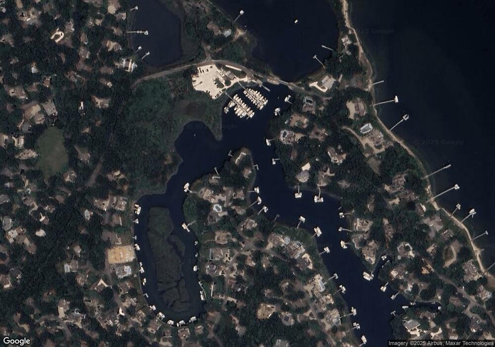
Map
Nearby Homes
- 21 Fiddler Crab Ln
- 160 Waterway
- 30 Bright Coves Way
- 102 Summersea Rd
- 8 Taffrail Way
- 24 Spoondrift Way
- 140 Summersea Rd
- 20 Holly Rd
- 14 Azalea Ln
- 6 Heron Way
- 28 Blue Castle Dr
- 444 Vineyard Rd
- 55 Blue Castle Dr
- 17 Degrass Rd
- 128 Uncle Percys Rd
- 42 Kim Path
- 12 Tracey Rd
- 239 Clamshell Cove Rd
- 20 Mutiny Way
- 42 Fells Pond Rd
- 21 Bowsprit Point
- 17 Bowsprit Point
- 16 Bowsprit Point
- 11 Bowsprit Point
- 14 Bowsprit Point
- 5 Bowsprit Point
- 11 Compass Cir
- 9 Compass Cir
- 8 Bowsprit Point
- 13 Compass Cir
- 126 Waterway
- 5 Compass Cir
- 2 Bowsprit Point
- 128 Waterway
- 17 Compass Cir
- 118 Waterway
- 129 Daniels Island Rd
- 132 Waterway
- 129 Waterway
- 123 Waterway