19 Broad St Weston, CT 06883
Estimated Value: $1,204,000 - $1,592,000
4
Beds
4
Baths
2,932
Sq Ft
$475/Sq Ft
Est. Value
About This Home
This home is located at 19 Broad St, Weston, CT 06883 and is currently estimated at $1,393,573, approximately $475 per square foot. 19 Broad St is a home located in Fairfield County with nearby schools including Hurlbutt Elementary School, Weston Intermediate School, and Weston Middle School.
Ownership History
Date
Name
Owned For
Owner Type
Purchase Details
Closed on
Dec 16, 2003
Sold by
Hellwig Patrick
Bought by
Lum Edward and Morgan Patricia J
Current Estimated Value
Purchase Details
Closed on
Jan 11, 2000
Sold by
Sullivan William and Sullivan Suzanne
Bought by
Hellwig Patrick and Celbert Carol
Purchase Details
Closed on
May 30, 1997
Sold by
Broudy Dolores
Bought by
Sullivan William and Sullivan Suzanne
Create a Home Valuation Report for This Property
The Home Valuation Report is an in-depth analysis detailing your home's value as well as a comparison with similar homes in the area
Home Values in the Area
Average Home Value in this Area
Purchase History
| Date | Buyer | Sale Price | Title Company |
|---|---|---|---|
| Lum Edward | $960,000 | -- | |
| Hellwig Patrick | $645,000 | -- | |
| Sullivan William | $650,000 | -- |
Source: Public Records
Mortgage History
| Date | Status | Borrower | Loan Amount |
|---|---|---|---|
| Open | Sullivan William | $386,000 | |
| Closed | Sullivan William | $417,000 | |
| Closed | Sullivan William | $417,000 |
Source: Public Records
Tax History Compared to Growth
Tax History
| Year | Tax Paid | Tax Assessment Tax Assessment Total Assessment is a certain percentage of the fair market value that is determined by local assessors to be the total taxable value of land and additions on the property. | Land | Improvement |
|---|---|---|---|---|
| 2025 | $14,167 | $592,760 | $286,720 | $306,040 |
| 2024 | $13,912 | $592,760 | $286,720 | $306,040 |
| 2023 | $14,838 | $448,830 | $286,750 | $162,080 |
| 2022 | $14,798 | $448,830 | $286,750 | $162,080 |
| 2021 | $14,775 | $448,830 | $286,750 | $162,080 |
| 2020 | $14,529 | $448,830 | $286,750 | $162,080 |
| 2019 | $14,529 | $448,830 | $286,750 | $162,080 |
| 2018 | $14,292 | $486,300 | $280,700 | $205,600 |
| 2017 | $14,059 | $486,300 | $280,700 | $205,600 |
| 2016 | $13,889 | $486,300 | $280,700 | $205,600 |
| 2015 | $13,942 | $486,300 | $280,700 | $205,600 |
| 2014 | $13,733 | $486,300 | $280,700 | $205,600 |
Source: Public Records
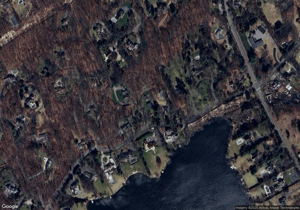
Map
Nearby Homes
- 4 Good Hill Rd
- 17 Huckleberry Ln
- 31 Riverfield Dr
- 40 Hermit Ln
- 4A Newtown Turnpike
- 32 Kettle Creek Rd
- 30 Cavalry Rd
- 25 Hermit Ln
- 93 E Meadow Rd
- 87 Red Coat Rd
- 81 Norfield Rd
- 14 Northfield Dr
- 31 White Birch Rd
- 8 Hedgerow Common
- 1 Greenlea Ln
- 136 Lyons Plain Rd
- 9 Greenbrier Rd
- 10 Twin Falls Ln
- 21 Warnock Dr
- 24 Warnock Dr