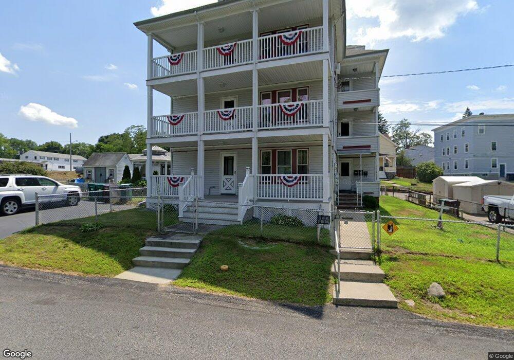
19 Circle St Woonsocket, RI 02895
Bernon District NeighborhoodEstimated Value: $521,000 - $642,000
9
Beds
3
Baths
3,192
Sq Ft
$182/Sq Ft
Est. Value
About This Home
This home is located at 19 Circle St, Woonsocket, RI 02895 and is currently estimated at $581,500, approximately $182 per square foot. 19 Circle St is a home located in Providence County with nearby schools including Woonsocket High School, Rise Prep Mayoral Academy Middle School, and Rise Prep Mayoral Academy.
Ownership History
Date
Name
Owned For
Owner Type
Purchase Details
Closed on
Jul 29, 2010
Sold by
Berard Richard O and Berard Jean M
Bought by
Sivo Tammy L and Sivo Eugene V
Current Estimated Value
Home Financials for this Owner
Home Financials are based on the most recent Mortgage that was taken out on this home.
Original Mortgage
$262,082
Outstanding Balance
$174,002
Interest Rate
4.78%
Mortgage Type
Purchase Money Mortgage
Estimated Equity
$407,498
Purchase Details
Closed on
Feb 16, 1999
Sold by
Walker Loretta
Bought by
Berard Richard O and Berard Jean
Create a Home Valuation Report for This Property
The Home Valuation Report is an in-depth analysis detailing your home's value as well as a comparison with similar homes in the area
Home Values in the Area
Average Home Value in this Area
Purchase History
| Date | Buyer | Sale Price | Title Company |
|---|---|---|---|
| Sivo Tammy L | $233,000 | -- | |
| Sivo Tammy L | $233,000 | -- | |
| Berard Richard O | $85,000 | -- | |
| Berard Richard O | $85,000 | -- |
Source: Public Records
Mortgage History
| Date | Status | Borrower | Loan Amount |
|---|---|---|---|
| Open | Berard Richard O | $262,082 | |
| Closed | Berard Richard O | $262,082 | |
| Previous Owner | Berard Richard O | $68,000 |
Source: Public Records
Tax History
| Year | Tax Paid | Tax Assessment Tax Assessment Total Assessment is a certain percentage of the fair market value that is determined by local assessors to be the total taxable value of land and additions on the property. | Land | Improvement |
|---|---|---|---|---|
| 2025 | $6,940 | $618,000 | $108,100 | $509,900 |
| 2024 | $5,297 | $364,300 | $95,900 | $268,400 |
| 2023 | $5,093 | $364,300 | $95,900 | $268,400 |
| 2022 | $5,093 | $364,300 | $95,900 | $268,400 |
| 2021 | $4,845 | $204,000 | $60,200 | $143,800 |
| 2020 | $4,896 | $204,000 | $60,200 | $143,800 |
| 2018 | $4,912 | $204,000 | $60,200 | $143,800 |
| 2017 | $5,045 | $167,600 | $47,100 | $120,500 |
| 2016 | $5,336 | $167,600 | $47,100 | $120,500 |
| 2015 | $6,131 | $167,600 | $47,100 | $120,500 |
| 2014 | $5,972 | $171,300 | $51,800 | $119,500 |
Source: Public Records
Map
Nearby Homes
- 414 Rhode Island Ave
- 410 Carrington Ave
- 345 Carrington Ave
- 346 Carrington Ave
- 74 Maple St
- 216 Bertenshaw Rd
- 59 Division St
- 24 Paradis Ave
- 526 Bernon St
- 190 Crawford St
- 219 Crawford St
- 0 Irving Lot 206 Ave Unit 1397321
- 233 Grove St
- 18 Villa Nova St
- 56 Mailloux St
- 375 Congress St
- 2 Marian Ln
- 70 W Park Place
- 0 Irving Lot 192 Ave Unit 1383138
- 311 Elm St
- 476 Manville Rd
- 484 Manville Rd
- 44 Briens Ct
- 492 Manville Rd
- 37 Briens Ct
- 490 Manville Rd Unit 3
- 490 Manville Rd
- 508 Manville Rd
- 27 Briens Ct
- 17 Briens Ct
- 413 Manville Rd
- 519 Manville Rd
- 51 Circle St
- 524 Manville Rd
- 207 Circle St
- 177 Circle St
- 59 Circle St
- 31 Verdun St
- 522 Manville Rd
- 733735 Bernon St
Your Personal Tour Guide
Ask me questions while you tour the home.