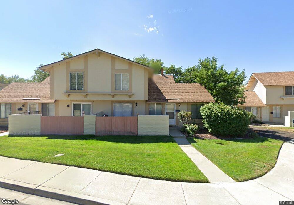
19 Condor Cir Carson City, NV 89701
Riverview NeighborhoodEstimated Value: $289,092 - $301,000
3
Beds
3
Baths
1,219
Sq Ft
$242/Sq Ft
Est. Value
About This Home
This home is located at 19 Condor Cir, Carson City, NV 89701 and is currently estimated at $294,773, approximately $241 per square foot. 19 Condor Cir is a home located in Carson City with nearby schools including Empire Elementary School, Eagle Valley Middle School, and Carson High School.
Ownership History
Date
Name
Owned For
Owner Type
Purchase Details
Closed on
Dec 18, 2006
Sold by
Johnson Kristen
Bought by
Walker Michael B
Current Estimated Value
Home Financials for this Owner
Home Financials are based on the most recent Mortgage that was taken out on this home.
Original Mortgage
$185,237
Outstanding Balance
$109,826
Interest Rate
6.16%
Mortgage Type
FHA
Estimated Equity
$184,947
Create a Home Valuation Report for This Property
The Home Valuation Report is an in-depth analysis detailing your home's value as well as a comparison with similar homes in the area
Home Values in the Area
Average Home Value in this Area
Purchase History
| Date | Buyer | Sale Price | Title Company |
|---|---|---|---|
| Walker Michael B | $193,000 | First Amer Title Co Of Nv |
Source: Public Records
Mortgage History
| Date | Status | Borrower | Loan Amount |
|---|---|---|---|
| Open | Walker Michael B | $185,237 |
Source: Public Records
Tax History Compared to Growth
Tax History
| Year | Tax Paid | Tax Assessment Tax Assessment Total Assessment is a certain percentage of the fair market value that is determined by local assessors to be the total taxable value of land and additions on the property. | Land | Improvement |
|---|---|---|---|---|
| 2025 | $748 | $28,887 | $14,000 | $14,887 |
| 2024 | $727 | $29,220 | $14,000 | $15,220 |
| 2023 | $706 | $26,199 | $12,950 | $13,249 |
| 2022 | $686 | $24,404 | $11,550 | $12,854 |
| 2021 | $666 | $23,772 | $10,675 | $13,097 |
| 2020 | $666 | $22,099 | $8,750 | $13,349 |
| 2019 | $626 | $22,407 | $8,750 | $13,657 |
| 2018 | $608 | $21,535 | $7,875 | $13,660 |
| 2017 | $590 | $20,640 | $6,825 | $13,815 |
| 2016 | $576 | $19,991 | $5,600 | $14,391 |
| 2015 | $574 | $20,470 | $5,513 | $14,957 |
| 2014 | $557 | $16,074 | $5,513 | $10,561 |
Source: Public Records
Map
Nearby Homes
- 3913 Pheasant Dr
- 3905 Pheasant Dr
- 3932 Village Dr
- 3954 Village Dr
- 4057 Quinn Dr
- 61 Condor Cir
- 4070 Quinn Dr
- 855 Sundance Ct
- 3523 Stanton Dr
- 1329 Stanford Dr
- 1051 Cascade Dr
- 1628 Brown St
- 1402 La Loma Dr
- 3400 Woodside Dr Unit 23
- 3316 Woodside Dr Unit 14
- 3316 Woodside Dr Unit 16
- 4349 Stampede Dr
- 3182 Shriver Dr
- 1808 Rock Ct
- 199 Pasture Dr