19 Dear Lane Loop Vaughn, MT 59487
Estimated Value: $461,837 - $559,000
3
Beds
2
Baths
2,109
Sq Ft
$237/Sq Ft
Est. Value
About This Home
This home is located at 19 Dear Lane Loop, Vaughn, MT 59487 and is currently estimated at $500,709, approximately $237 per square foot. 19 Dear Lane Loop is a home located in Cascade County with nearby schools including Vaughn Elementary School, Vaughn Junior High School, and Simms High School.
Ownership History
Date
Name
Owned For
Owner Type
Purchase Details
Closed on
Mar 12, 2018
Sold by
Front Range Investments Llc
Bought by
Brooks Thomas G and Brooks Karen L
Current Estimated Value
Purchase Details
Closed on
Jul 28, 2017
Sold by
Hilliard Chester M and Hilliard Sally A
Bought by
Front Range Investments Llc
Purchase Details
Closed on
Mar 28, 2006
Sold by
Coziahr John A and Rinke Robert J
Bought by
Hilliard Chester M
Create a Home Valuation Report for This Property
The Home Valuation Report is an in-depth analysis detailing your home's value as well as a comparison with similar homes in the area
Purchase History
| Date | Buyer | Sale Price | Title Company |
|---|---|---|---|
| Brooks Thomas G | -- | First American Title Co | |
| Front Range Investments Llc | -- | First American Title Co | |
| Hilliard Chester M | -- | Chicago Title Insurance Comp |
Source: Public Records
Tax History
| Year | Tax Paid | Tax Assessment Tax Assessment Total Assessment is a certain percentage of the fair market value that is determined by local assessors to be the total taxable value of land and additions on the property. | Land | Improvement |
|---|---|---|---|---|
| 2025 | $2,223 | $391,500 | $0 | $0 |
| 2024 | $3,273 | $374,300 | $0 | $0 |
| 2023 | $3,094 | $374,300 | $0 | $0 |
| 2022 | $2,468 | $267,100 | $0 | $0 |
| 2021 | $2,205 | $267,100 | $0 | $0 |
| 2020 | $1,969 | $237,800 | $0 | $0 |
| 2019 | $335 | $40,918 | $0 | $0 |
| 2018 | $291 | $34,228 | $0 | $0 |
| 2017 | $305 | $34,228 | $0 | $0 |
| 2016 | $316 | $36,438 | $0 | $0 |
| 2015 | $331 | $36,438 | $0 | $0 |
| 2014 | $298 | $17,883 | $0 | $0 |
Source: Public Records
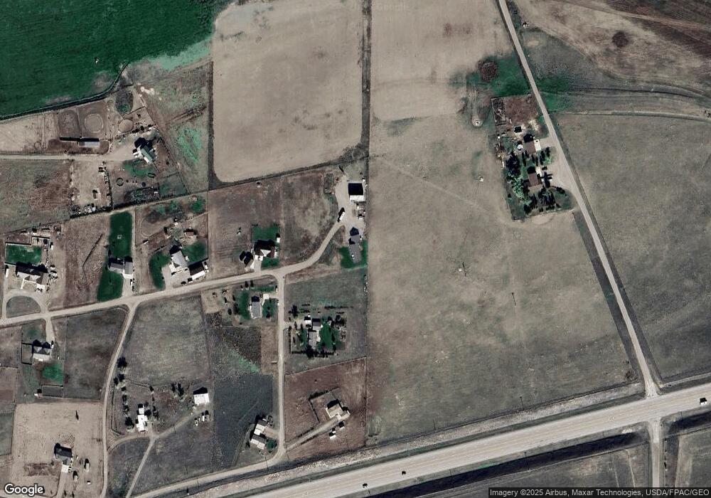
Map
Nearby Homes
- 62 Dear Lane Loop
- 356 U S 89
- 1140 5th Ave
- 935 1st Ave
- 895 1st Ave
- TBD Fourmile Creek Rd
- 30 Trail Ln
- 101 Fourmile Creek Rd
- 130 Meadows Loop
- 5 Indian Cliffs Dr
- Tbd N Manchester Rd
- TBD Luebbe Rd
- 1st Road S
- 283 S Manchester Rd
- NHN S 1st Rd
- Nhn 1st Rd S
- 1481 County Line Rd
- Nhn County Line Rd
- 201 W Ulm Rd
- 685 5th Ave
- 19 Dear Lane Loop
- 42 Dear Lane Loop
- 46 Dear Lane Loop
- 0 Dear Lane Loop
- 50 Dear Lane Loop
- 50 Dear Lane Loop
- 74 Dear Lane Loop
- 74 Dear Ln
- 13 Dear Lane Loop
- 13 Dear Lane Loop
- 11 Dear Lane Loop
- 9 Dear Lane Loop
- 55 Dear Ln
- 55 Deer Lane Loop
- 55 Dear Lane Loop
- 56 Dear Lane Loop
- 279 Us Highway 89
- 5 Dear Lane Loop
- 62 Dear Ln
- 61 Dear Lane Loop
Your Personal Tour Guide
Ask me questions while you tour the home.