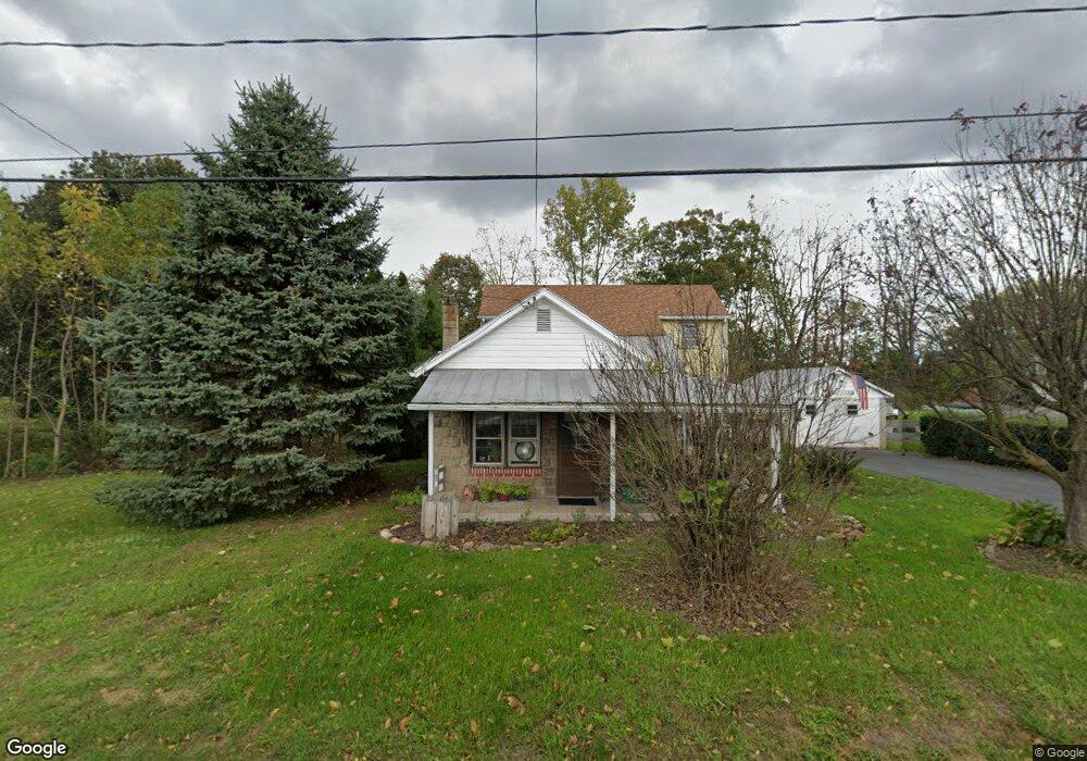
19 E Hanover St Gettysburg, PA 17325
Estimated Value: $146,000 - $215,000
2
Beds
1
Bath
--
Sq Ft
27,007
Sq Ft Lot
About This Home
This home is located at 19 E Hanover St, Gettysburg, PA 17325 and is currently estimated at $185,991. 19 E Hanover St is a home located in Adams County with nearby schools including New Oxford Senior High School, Freedom Christian School, and Hanover Mennonite School.
Ownership History
Date
Name
Owned For
Owner Type
Purchase Details
Closed on
Apr 30, 2025
Sold by
Williams William H
Bought by
Wolf Gina L
Current Estimated Value
Home Financials for this Owner
Home Financials are based on the most recent Mortgage that was taken out on this home.
Original Mortgage
$100,000
Outstanding Balance
$99,647
Interest Rate
6.67%
Mortgage Type
Seller Take Back
Estimated Equity
$86,344
Purchase Details
Closed on
Apr 7, 1993
Bought by
Williams William H and Williams Celeste A
Create a Home Valuation Report for This Property
The Home Valuation Report is an in-depth analysis detailing your home's value as well as a comparison with similar homes in the area
Purchase History
| Date | Buyer | Sale Price | Title Company |
|---|---|---|---|
| Wolf Gina L | $142,000 | None Listed On Document | |
| Wolf Gina L | $142,000 | None Listed On Document | |
| Williams William H | -- | -- |
Source: Public Records
Mortgage History
| Date | Status | Borrower | Loan Amount |
|---|---|---|---|
| Open | Wolf Gina L | $100,000 | |
| Closed | Wolf Gina L | $100,000 |
Source: Public Records
Tax History
| Year | Tax Paid | Tax Assessment Tax Assessment Total Assessment is a certain percentage of the fair market value that is determined by local assessors to be the total taxable value of land and additions on the property. | Land | Improvement |
|---|---|---|---|---|
| 2025 | $3,364 | $136,700 | $52,000 | $84,700 |
| 2024 | $3,114 | $136,700 | $52,000 | $84,700 |
| 2023 | $2,968 | $136,700 | $52,000 | $84,700 |
| 2022 | $2,810 | $136,700 | $52,000 | $84,700 |
| 2021 | $2,738 | $136,700 | $52,000 | $84,700 |
| 2020 | $2,516 | $136,700 | $52,000 | $84,700 |
| 2019 | $2,467 | $136,700 | $52,000 | $84,700 |
| 2018 | $2,563 | $136,700 | $52,000 | $84,700 |
| 2017 | $2,457 | $136,700 | $52,000 | $84,700 |
| 2016 | -- | $136,700 | $52,000 | $84,700 |
| 2015 | -- | $136,700 | $52,000 | $84,700 |
| 2014 | -- | $136,700 | $52,000 | $84,700 |
Source: Public Records
Map
Nearby Homes
- 27 Maple St
- 13 N Pine St
- 99 Jessica Dr Unit 8
- 27 Bonneau Heights Rd
- 28 Bonniefield Cir Unit 25
- 10 Homestead Dr Unit 88
- 9 Wheatland Dr
- 65 W Crest View Ln
- 780 White Hall Rd
- 0 White Hall Rd
- 857 Hancock Dr Unit 857
- 871 Sherman Dr Unit 871
- 837 Hancock Dr Unit 837
- 627 Heritage Dr Unit 627
- 464 Locust Ln
- 742 Harrison Dr
- 371 Heritage Dr Unit 371
- 279 Longstreet Dr Unit 279
- 243 Forrest Dr Unit 243
- 171 Longstreet Dr Unit 171
- 21 E Hanover St
- 18 E Hanover St
- 23 E Hanover St
- 20 E Hanover St
- 14 18 E Hanover St
- 16 E Hanover St
- 14 E Hanover St
- 14 E Hanover St
- 14 E Hanover St
- 14 E Hanover St
- 25 E Hanover St
- 14 E Hanover St
- 3 Cedar St Unit 2
- 15 E Hanover St
- 29 E Hanover St
- 12 E Hanover St
- 13 E Hanover St
- 11 E Hanover St
- 31 E Hanover St
- 30 E Hanover St
Your Personal Tour Guide
Ask me questions while you tour the home.