Estimated Value: $270,000 - $303,000
3
Beds
2
Baths
2,019
Sq Ft
$140/Sq Ft
Est. Value
About This Home
This home is located at 19 Freeman Rd, Petal, MS 39465 and is currently estimated at $283,167, approximately $140 per square foot. 19 Freeman Rd is a home located in Forrest County with nearby schools including Petal Primary School, Petal Elementary School, and Petal Middle School.
Ownership History
Date
Name
Owned For
Owner Type
Purchase Details
Closed on
Apr 25, 2016
Sold by
Bank Of America
Bought by
Thames Darrell R and Thames Lisa M
Current Estimated Value
Home Financials for this Owner
Home Financials are based on the most recent Mortgage that was taken out on this home.
Original Mortgage
$103,500
Interest Rate
3.59%
Purchase Details
Closed on
Nov 20, 2009
Sold by
Shows Candace A and Shows Christopher N
Bought by
Bounds Daniel D and Bounds Jennifer
Home Financials for this Owner
Home Financials are based on the most recent Mortgage that was taken out on this home.
Original Mortgage
$165,750
Interest Rate
4.98%
Create a Home Valuation Report for This Property
The Home Valuation Report is an in-depth analysis detailing your home's value as well as a comparison with similar homes in the area
Purchase History
| Date | Buyer | Sale Price | Title Company |
|---|---|---|---|
| Thames Darrell R | -- | -- | |
| Bounds Daniel D | -- | -- |
Source: Public Records
Mortgage History
| Date | Status | Borrower | Loan Amount |
|---|---|---|---|
| Closed | Thames Darrell R | $103,500 | |
| Previous Owner | Bounds Daniel D | $165,750 |
Source: Public Records
Tax History
| Year | Tax Paid | Tax Assessment Tax Assessment Total Assessment is a certain percentage of the fair market value that is determined by local assessors to be the total taxable value of land and additions on the property. | Land | Improvement |
|---|---|---|---|---|
| 2025 | $1,888 | $16,590 | $0 | $0 |
| 2024 | $1,888 | $13,730 | $0 | $0 |
| 2023 | $1,509 | $136,980 | $0 | $0 |
| 2022 | $1,439 | $13,729 | $0 | $0 |
| 2021 | $1,515 | $14,240 | $0 | $0 |
| 2020 | $1,471 | $13,779 | $0 | $0 |
| 2019 | $1,467 | $13,781 | $0 | $0 |
| 2018 | $1,471 | $13,785 | $0 | $0 |
| 2017 | $1,496 | $13,784 | $0 | $0 |
| 2016 | $2,637 | $20,327 | $0 | $0 |
| 2015 | $2,585 | $20,323 | $0 | $0 |
| 2014 | $2,535 | $20,316 | $0 | $0 |
Source: Public Records
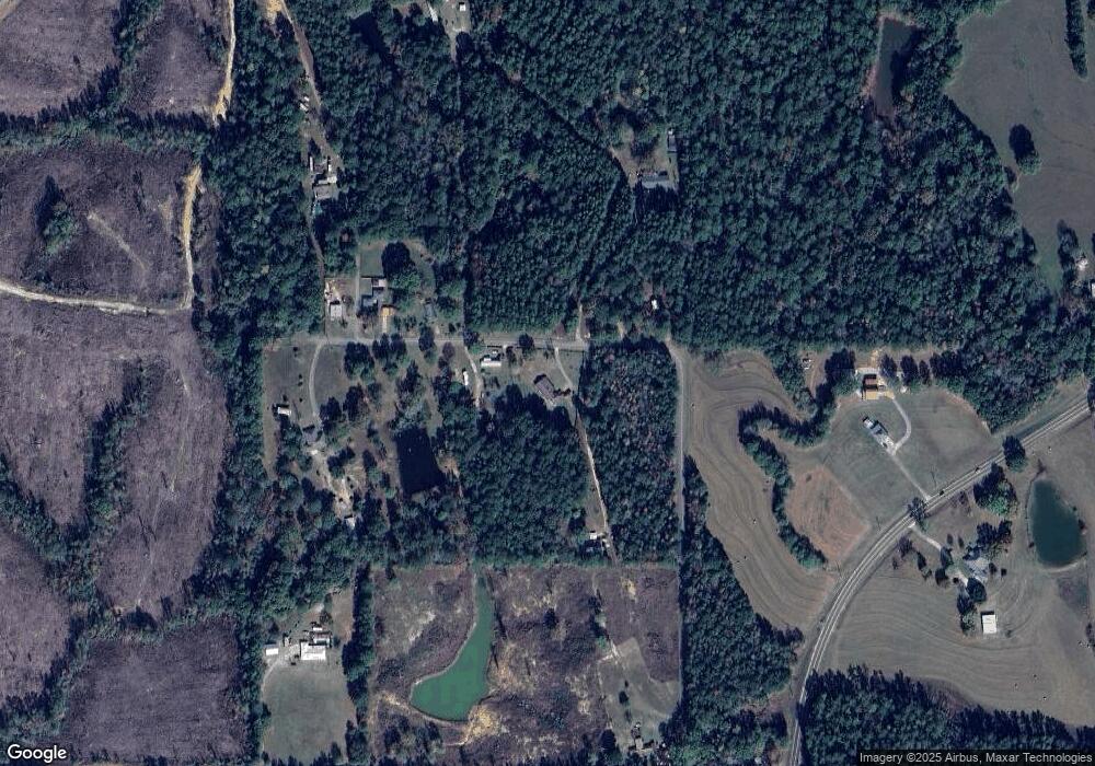
Map
Nearby Homes
- 69 Sunnyvale Dr
- 5.5 Acres Lynn Ray Rd
- 0 5 Acres Lynn Ray Rd
- 18 Gordon Dr
- 00 Green Acres
- 57 Lazenby Rd
- Parcel B J Runnels Rd
- Parcel C J Runnels Rd
- Parcel A J Runnels Rd
- 42 & 46 Craft Rd
- 120 Cedar Grove Rd
- 114 Lynnstone
- 110 Lynnstone
- 20 Brookstone
- 3.4+/- Ac Morriston Rd
- 417 Herrington Rd
- 0 Pecanwood Dr Unit 143313
- 300 Eastabuchie Rd
- 2070 Old Richton Rd
- 6 Heartstone
- 74 Freeman Rd
- 29 Freeman Rd
- 86 Freeman Rd
- 60 Freeman Rd
- 89 Freeman Rd
- 15 Cawthon Dr
- 459 Morriston Rd
- 58 Shows Rd
- 81 Shows Rd
- 429 Morriston Rd
- 462 Morriston Rd
- 47 Cawthon Dr
- 67 Shows Rd
- 488 Morriston Rd
- 162 Eastabuchie Rd
- 162 Eastabuchie Rd
- 393 Morriston Rd
- 147 Eastabuchie Rd
- 127 Eastabuchie Rd
- 514 Morriston Rd
Your Personal Tour Guide
Ask me questions while you tour the home.