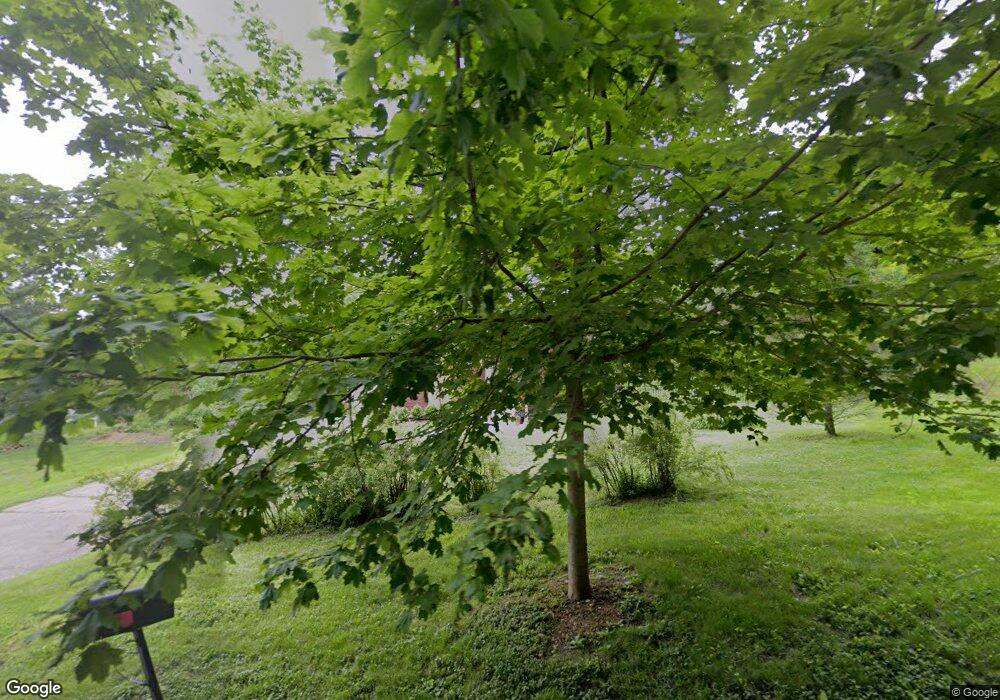
190 Deerpath Rd Algonquin, IL 60102
Merrill Algonquin Hills NeighborhoodEstimated Value: $285,569 - $346,000
Studio
--
Bath
1,224
Sq Ft
$259/Sq Ft
Est. Value
About This Home
This home is located at 190 Deerpath Rd, Algonquin, IL 60102 and is currently estimated at $317,392, approximately $259 per square foot. 190 Deerpath Rd is a home located in McHenry County with nearby schools including Eastview Elementary School, Algonquin Middle School, and Dundee-Crown High School.
Ownership History
Date
Name
Owned For
Owner Type
Purchase Details
Closed on
Jun 13, 2023
Sold by
Kristoff Andrew J and Kristoff Pamela S
Bought by
Andrew And Pamela Kristoff Trust
Current Estimated Value
Purchase Details
Closed on
Jun 12, 1995
Sold by
Frasier Russell L and Frasier Maxine
Bought by
Kristoff Andrew J and Reilley Pamela S
Home Financials for this Owner
Home Financials are based on the most recent Mortgage that was taken out on this home.
Original Mortgage
$112,800
Interest Rate
8.26%
Create a Home Valuation Report for This Property
The Home Valuation Report is an in-depth analysis detailing your home's value as well as a comparison with similar homes in the area
Home Values in the Area
Average Home Value in this Area
Purchase History
| Date | Buyer | Sale Price | Title Company |
|---|---|---|---|
| Andrew And Pamela Kristoff Trust | -- | None Listed On Document | |
| Kristoff Andrew J | $120,000 | Universal Title Services Inc |
Source: Public Records
Mortgage History
| Date | Status | Borrower | Loan Amount |
|---|---|---|---|
| Previous Owner | Kristoff Andrew J | $112,800 |
Source: Public Records
Tax History
| Year | Tax Paid | Tax Assessment Tax Assessment Total Assessment is a certain percentage of the fair market value that is determined by local assessors to be the total taxable value of land and additions on the property. | Land | Improvement |
|---|---|---|---|---|
| 2024 | $5,911 | $83,564 | $26,477 | $57,087 |
| 2023 | $5,587 | $74,737 | $23,680 | $51,057 |
| 2022 | $5,140 | $65,938 | $22,289 | $43,649 |
| 2021 | $4,918 | $61,429 | $20,765 | $40,664 |
| 2020 | $4,724 | $59,254 | $20,030 | $39,224 |
| 2019 | $4,600 | $56,713 | $19,171 | $37,542 |
| 2018 | $4,368 | $52,391 | $17,710 | $34,681 |
| 2017 | $4,264 | $49,356 | $16,684 | $32,672 |
| 2016 | $4,043 | $44,447 | $15,648 | $28,799 |
| 2013 | -- | $46,560 | $14,597 | $31,963 |
Source: Public Records
Map
Nearby Homes
- 1439 Lowe Dr
- 1302 Cary Rd
- lot 021 Route 31 Hwy
- 1625 Powder Horn Dr
- 720 Ash St
- 1730 Tanglewood Dr
- 953 Old Oak Cir
- 9416 3rd Ave
- 1188 E Algonquin Rd
- 1031 Timberwood Ln
- 600 E Algonquin Rd
- 0 River Dr N Unit MRD12473279
- 9620 Fox Shores Dr
- 719 Webster St
- 1770 E Algonquin Rd
- Lot 4 b Ryan Pkwy
- 1121 Redwood Dr
- 1321 Big Sur Pkwy
- 1782 Cumberland Pkwy
- 407 La Fox River Dr
- 183 Iona Terrace
- 184 Iona Terrace
- 1480 Pioneer Rd
- 1480 Pioneer Rd
- 1480 Pioneer Rd
- 1480 Pioneer Rd
- 150 Deerpath Rd
- 1614 Short St
- 225 Deerpath Rd
- 1538 Seminole Rd
- 1526 Seminole Rd
- 199 Mohawk Trail
- 1512 Seminole Rd
- 1444 Seminole Rd
- 231 Deerpath Rd
- 240 Deerpath Rd
- 185 Mohawk Trail
- 1638 Short St
- 1545 Seminole Rd
- 1551 Seminole Rd
