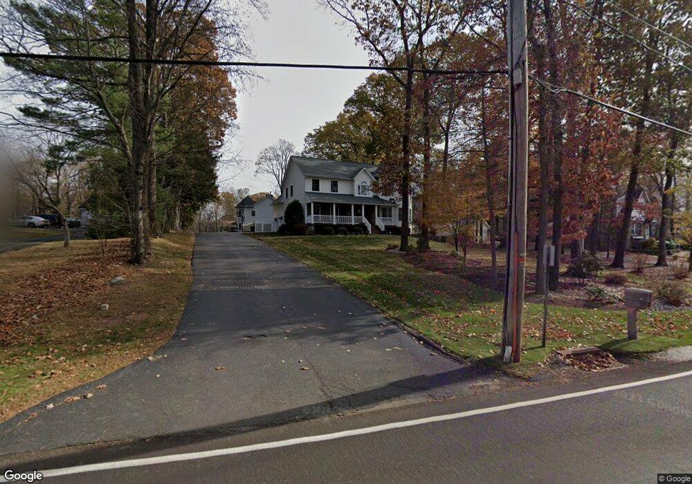
190 Ehrhardt Rd Pearl River, NY 10965
Estimated Value: $815,000 - $1,109,051
5
Beds
7
Baths
3,551
Sq Ft
$291/Sq Ft
Est. Value
About This Home
This home is located at 190 Ehrhardt Rd, Pearl River, NY 10965 and is currently estimated at $1,032,013, approximately $290 per square foot. 190 Ehrhardt Rd is a home located in Rockland County with nearby schools including Pearl River High School.
Ownership History
Date
Name
Owned For
Owner Type
Purchase Details
Closed on
Sep 14, 2005
Sold by
Katnin Construction Corp
Bought by
Panzarella David
Current Estimated Value
Home Financials for this Owner
Home Financials are based on the most recent Mortgage that was taken out on this home.
Original Mortgage
$572,000
Outstanding Balance
$299,260
Interest Rate
5.5%
Mortgage Type
Fannie Mae Freddie Mac
Estimated Equity
$732,753
Create a Home Valuation Report for This Property
The Home Valuation Report is an in-depth analysis detailing your home's value as well as a comparison with similar homes in the area
Home Values in the Area
Average Home Value in this Area
Purchase History
| Date | Buyer | Sale Price | Title Company |
|---|---|---|---|
| Panzarella David | $850,000 | Peter Branti | |
| Panzarella David J | $850,000 | -- |
Source: Public Records
Mortgage History
| Date | Status | Borrower | Loan Amount |
|---|---|---|---|
| Open | Panzarella David J | $572,000 |
Source: Public Records
Tax History
| Year | Tax Paid | Tax Assessment Tax Assessment Total Assessment is a certain percentage of the fair market value that is determined by local assessors to be the total taxable value of land and additions on the property. | Land | Improvement |
|---|---|---|---|---|
| 2022 | $7,399 | $307,900 | $58,100 | $249,800 |
| 2021 | $20,622 | $307,900 | $58,100 | $249,800 |
| 2020 | $21,107 | $307,900 | $58,100 | $249,800 |
| 2019 | $6,933 | $307,900 | $58,100 | $249,800 |
| 2018 | $19,081 | $307,900 | $58,100 | $249,800 |
| 2017 | $18,454 | $307,900 | $58,100 | $249,800 |
| 2016 | $17,871 | $307,900 | $58,100 | $249,800 |
| 2015 | -- | $307,900 | $58,100 | $249,800 |
| 2014 | -- | $307,900 | $58,100 | $249,800 |
Source: Public Records
Map
Nearby Homes
- 6 Lombardi Rd
- 135 Standish Dr
- 46 Cara Dr
- 452 Somerset Dr Unit F
- 166 E Crooked Hill Rd Unit 166
- 352 Holt Dr
- 854 E Crooked Hill Rd Unit 854
- 258 Holt Dr
- 124 Braunsdorf Rd
- 22 Hovenkamp Ave
- 34 Mountainview Ave
- 10 Cottage Ave
- 86 Braunsdorf Rd
- 30 Pelham Ave
- 21 Bridge Rd
- 12 E Nauraushaun Ave
- 210 Rockland Rd
- 215 Rose Rd
- 363 Gilbert Ave
- 97 E Park Ave
- 196 Ehrhardt Rd
- 178 Ehrhardt Rd
- 182 Ehrhardt Rd
- 200 Ehrhardt Rd
- 172 Ehrhardt Rd
- 192 Ehrhardt Rd
- 185 Ehrhardt Rd
- 181 Ehrhardt Rd
- 193 Ehrhardt Rd
- 186 Ehrhardt Rd
- 206 Ehrhardt Rd
- 173 Ehrhardt Rd
- 203 Ehrhardt Rd
- 56 Ablondi Rd
- 361 Manor Blvd
- 163 Ehrhardt Rd
- 110 Lombardi Rd
- 362 Manor Blvd
- 66 Ablondi Rd
- 355 Manor Blvd
Your Personal Tour Guide
Ask me questions while you tour the home.