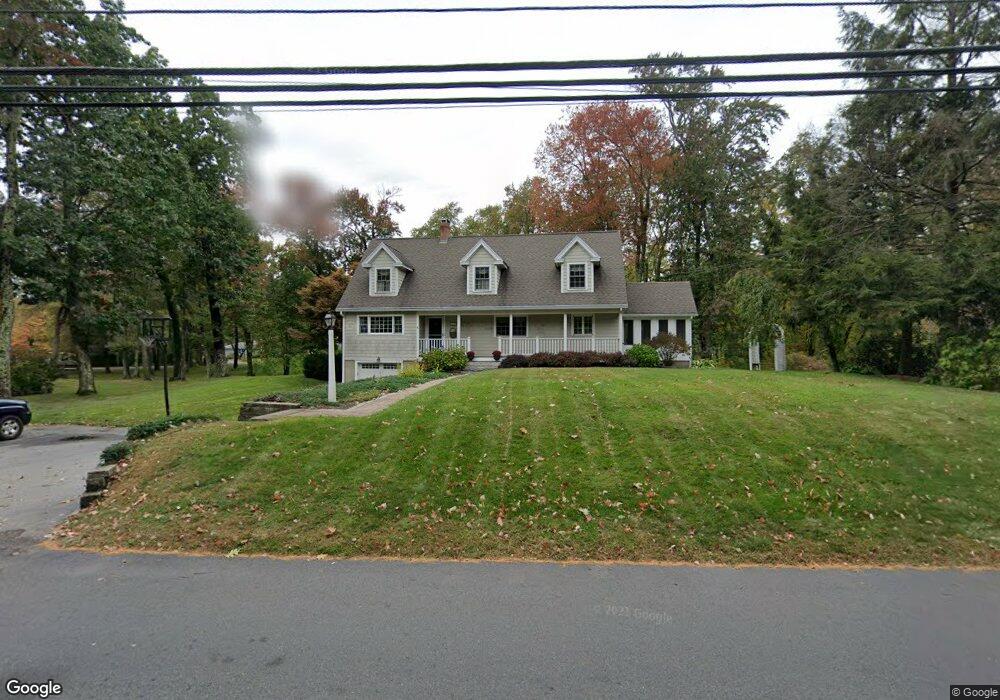
191 High Plain Rd Andover, MA 01810
West Andover NeighborhoodEstimated Value: $826,453 - $972,000
2
Beds
3
Baths
2,159
Sq Ft
$408/Sq Ft
Est. Value
About This Home
This home is located at 191 High Plain Rd, Andover, MA 01810 and is currently estimated at $881,113, approximately $408 per square foot. 191 High Plain Rd is a home located in Essex County with nearby schools including West Elementary School, Wood Hill Middle School, and Willow River Secondary School.
Ownership History
Date
Name
Owned For
Owner Type
Purchase Details
Closed on
Nov 23, 1993
Sold by
Provasili Janet E
Bought by
Surette Michael A
Current Estimated Value
Create a Home Valuation Report for This Property
The Home Valuation Report is an in-depth analysis detailing your home's value as well as a comparison with similar homes in the area
Home Values in the Area
Average Home Value in this Area
Purchase History
| Date | Buyer | Sale Price | Title Company |
|---|---|---|---|
| Surette Michael A | $150,000 | -- | |
| Surette Michael A | $150,000 | -- |
Source: Public Records
Mortgage History
| Date | Status | Borrower | Loan Amount |
|---|---|---|---|
| Closed | Surette Michael A | $40,000 | |
| Open | Surette Michael A | $217,000 | |
| Closed | Surette Michael A | $230,000 |
Source: Public Records
Tax History Compared to Growth
Tax History
| Year | Tax Paid | Tax Assessment Tax Assessment Total Assessment is a certain percentage of the fair market value that is determined by local assessors to be the total taxable value of land and additions on the property. | Land | Improvement |
|---|---|---|---|---|
| 2024 | $9,276 | $720,200 | $410,100 | $310,100 |
| 2023 | $8,778 | $642,600 | $369,400 | $273,200 |
| 2022 | $8,407 | $575,800 | $327,000 | $248,800 |
| 2021 | $8,027 | $525,000 | $297,300 | $227,700 |
| 2020 | $7,697 | $512,800 | $290,200 | $222,600 |
| 2019 | $7,485 | $490,200 | $273,600 | $216,600 |
| 2018 | $7,140 | $456,500 | $258,100 | $198,400 |
| 2017 | $6,825 | $449,600 | $253,000 | $196,600 |
| 2016 | $6,422 | $433,300 | $236,700 | $196,600 |
| 2015 | $6,174 | $412,400 | $227,600 | $184,800 |
Source: Public Records
Map
Nearby Homes
- 37 Crenshaw Ln Unit 37
- 25 Clubview Dr Unit 25
- 13 Clubview Dr Unit 13
- 15 Geneva Rd
- 14 Geneva Rd
- 29 Glenwood Dr
- 21 Clubview Dr Unit 21
- 0
- 22 Haggetts Pond Rd
- 96 Beacon St
- 11 Devonshire St
- 5 Marc Ln
- 38 Lincoln Cir E
- 750 Brookside Dr Unit G
- 10 Martingale Ln Unit 10
- 101 Bellevue Rd
- 6 Windsor St
- 42 Stevens St
- 18 Bryan Ln Unit 18
- 5 Castle Heights Rd
- 107 Greenwood Rd
- 189 High Plain Rd
- 195 High Plain Rd
- 111 Greenwood Rd
- 190 High Plain Rd
- 192 High Plain Rd
- 186 High Plain Rd
- 185 High Plain Rd
- 113 Greenwood Rd
- 108 Greenwood Rd
- 104 Greenwood Rd
- 112 Greenwood Rd
- 97 Greenwood Rd
- 102 Greenwood Rd
- 184 High Plain Rd
- 117 Greenwood Rd
- 116 Greenwood Rd
- 95 Greenwood Rd
- 98 Greenwood Rd
- 180 High Plain Rd